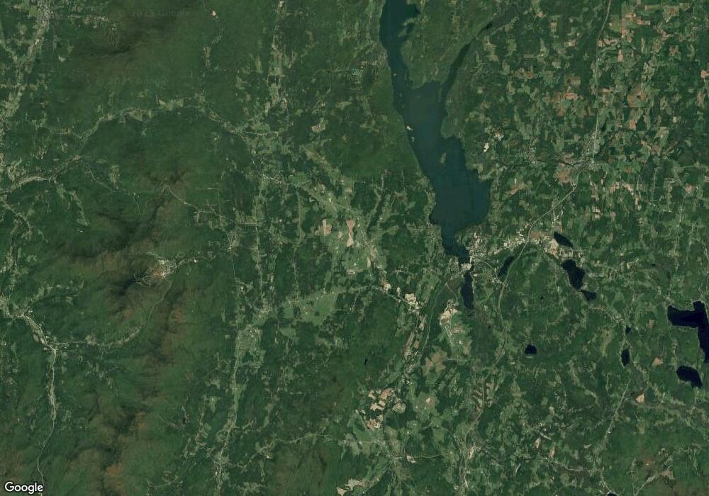
142 Po Box Newport Center, VT 05857
Estimated Value: $218,000 - $261,956
3
Beds
1
Bath
920
Sq Ft
$264/Sq Ft
Est. Value
About This Home
This home is located at 142 Po Box, Newport Center, VT 05857 and is currently estimated at $242,489, approximately $263 per square foot. 142 Po Box is a home located in Orleans County with nearby schools including Newport Town School, North Country Union Junior High School, and North Country Union High School.
Ownership History
Date
Name
Owned For
Owner Type
Purchase Details
Closed on
Jan 31, 2025
Sold by
Mountainside Rentals Llc
Bought by
Desjarlais Abigail and Allen Nathan M
Current Estimated Value
Purchase Details
Closed on
Mar 22, 2022
Sold by
Jm Properties Llc
Purchase Details
Closed on
Jun 15, 2021
Sold by
Catalano Melissa
Purchase Details
Closed on
May 12, 2011
Sold by
Rollins Amy
Bought by
Quarmby E Melissa
Purchase Details
Closed on
Mar 30, 2011
Sold by
David B Rollins Estate and Rollins Admin Amy
Bought by
Rollins Amy and Quarmby Melissa
Create a Home Valuation Report for This Property
The Home Valuation Report is an in-depth analysis detailing your home's value as well as a comparison with similar homes in the area
Home Values in the Area
Average Home Value in this Area
Purchase History
| Date | Buyer | Sale Price | Title Company |
|---|---|---|---|
| Desjarlais Abigail | $242,000 | -- | |
| -- | $134,000 | -- | |
| -- | -- | -- | |
| Quarmby E Melissa | $67,000 | -- | |
| Rollins Amy | -- | -- |
Source: Public Records
Mortgage History
| Date | Status | Borrower | Loan Amount |
|---|---|---|---|
| Closed | Quarmby E Melissa | $0 |
Source: Public Records
Tax History Compared to Growth
Tax History
| Year | Tax Paid | Tax Assessment Tax Assessment Total Assessment is a certain percentage of the fair market value that is determined by local assessors to be the total taxable value of land and additions on the property. | Land | Improvement |
|---|---|---|---|---|
| 2024 | $3,043 | $134,000 | $25,200 | $108,800 |
| 2023 | $2,630 | $134,000 | $25,200 | $108,800 |
| 2022 | $2,630 | $134,000 | $25,200 | $108,800 |
| 2021 | $2,763 | $134,000 | $25,200 | $108,800 |
| 2020 | $2,740 | $134,000 | $25,200 | $108,800 |
| 2019 | $2,677 | $134,000 | $25,200 | $108,800 |
| 2018 | $2,616 | $134,000 | $25,200 | $108,800 |
| 2016 | $2,421 | $134,000 | $25,200 | $108,800 |
Source: Public Records
Map
Nearby Homes
- 33 Vance Hill Rd
- 842 Gibbs Rd
- 374 Browns Hill Rd
- 1165 Vermont Route 100
- 500 Morningside Dr
- 360 City Farm Rd
- 1293 City Farm Rd
- 444 Bowenville Rd
- 3003 Lake Rd
- 252 Mountain View Dr
- 972 Farrar Rd
- 0 Logan Dr
- 113 Appletree Ln
- 742 Highland Ave
- 4647 Lake Rd
- 348 Maple Ridge
- 81 Top Deck Ln
- 290 Tetreault Rd
- 274 Scottsdale Rd
- 153 Memphremagog Views Unit 3B
- 54 Po Box
- 83 Po Box
- 37 Po Box
- 38 Po Box
- 111 Po Box
- 52 Po Box
- 3615 Vt Route 105
- 3512 Vermont 105
- 3820 Vermont 105
- 494 Potvin Rd
- 3812 Vermont Route 105
- 3812 Vt Route 105
- 3830 Vt Route 105
- 3820 Vt Route 105
- 3820 Us Route 105
- 173 Eastern Ave
- 3823 Vt Route 105
- 3823 Vt Route 105
- 3395 Vt Route 105
- 151 Eastern Ave
