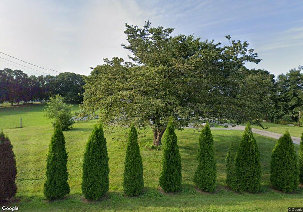
142 Rock Ave Danielson, CT 06239
Estimated Value: $279,000 - $450,000
4
Beds
3
Baths
2,128
Sq Ft
$187/Sq Ft
Est. Value
About This Home
This home is located at 142 Rock Ave, Danielson, CT 06239 and is currently estimated at $397,249, approximately $186 per square foot. 142 Rock Ave is a home located in Windham County with nearby schools including Killingly Central School, Killingly Memorial School, and Killingly Intermediate School.
Ownership History
Date
Name
Owned For
Owner Type
Purchase Details
Closed on
Feb 3, 2015
Sold by
Sheppard Stacy L
Bought by
Barrette Stacy L and Barrette Craig A
Current Estimated Value
Home Financials for this Owner
Home Financials are based on the most recent Mortgage that was taken out on this home.
Original Mortgage
$122,000
Interest Rate
3.81%
Mortgage Type
New Conventional
Purchase Details
Closed on
May 21, 2004
Sold by
Ladd Brenda F and Skidmore Michael T
Bought by
Sheppard Stacy L and Sheppard William N
Purchase Details
Closed on
Nov 21, 2002
Sold by
Est Molinski Mary and Basilick Linda M
Bought by
Ladd Brena F and Skidmore Michael T
Create a Home Valuation Report for This Property
The Home Valuation Report is an in-depth analysis detailing your home's value as well as a comparison with similar homes in the area
Home Values in the Area
Average Home Value in this Area
Purchase History
| Date | Buyer | Sale Price | Title Company |
|---|---|---|---|
| Barrette Stacy L | -- | -- | |
| Sheppard Stacy L | -- | -- | |
| Sheppard Stacy L | -- | -- | |
| Sheppard Stacy L | $136,250 | -- | |
| Sheppard Stacy L | $136,250 | -- | |
| Ladd Brena F | $110,000 | -- | |
| Ladd Brena F | $110,000 | -- |
Source: Public Records
Mortgage History
| Date | Status | Borrower | Loan Amount |
|---|---|---|---|
| Open | Ladd Brena F | $224,000 | |
| Closed | Ladd Brena F | $122,000 | |
| Previous Owner | Ladd Brena F | $135,000 |
Source: Public Records
Tax History Compared to Growth
Tax History
| Year | Tax Paid | Tax Assessment Tax Assessment Total Assessment is a certain percentage of the fair market value that is determined by local assessors to be the total taxable value of land and additions on the property. | Land | Improvement |
|---|---|---|---|---|
| 2025 | $5,275 | $224,960 | $40,470 | $184,490 |
| 2024 | $4,965 | $224,960 | $40,470 | $184,490 |
| 2023 | $4,336 | $151,360 | $33,170 | $118,190 |
| 2022 | $4,290 | $159,430 | $41,240 | $118,190 |
| 2021 | $2,763 | $102,690 | $41,230 | $61,460 |
| 2020 | $4,196 | $159,320 | $41,230 | $118,090 |
| 2019 | $2,758 | $102,690 | $41,230 | $61,460 |
| 2017 | $2,791 | $95,550 | $30,730 | $64,820 |
| 2016 | $2,781 | $95,550 | $30,730 | $64,820 |
| 2015 | $2,801 | $95,550 | $30,730 | $64,820 |
| 2014 | $2,724 | $95,550 | $30,730 | $64,820 |
Source: Public Records
Map
Nearby Homes
- 140 Woodward St
- 860 N Main St
- 11 Kenneth Dr
- 10 Conrad's Park
- 1032 N Main St Unit 9
- 17 Hillside Terrace
- 415 Maple St
- 65 Stone St
- 16 James St
- 48 Athol St Unit 48
- 1067 N Main St
- 14 Valley View Dr
- 18 Valley View Dr
- 16 Valley View Dr
- 58 Athol St Unit 58
- 78 Athol St
- 4 Bluebird Ln
- 61 Deerwood Dr
- 7 Shelby Cir
- 69 Peckham Ln
- 164 Rock Ave
- 159 Rock Ave
- 209 Shippee School House Rd
- 820 Upper Maple St
- 760 Upper Maple St
- 804 Upper Maple St
- 832 Upper Maple St
- 850 Upper Maple St
- 872 Upper Maple St
- 846 Upper Maple St
- 844 Upper Maple St
- 1 Laurel Dr
- 807 Upper Maple St
- 801 Upper Maple St
- 833 Upper Maple St
- 731 Upper Maple St
- 5 Laurel Dr
- 839 Upper Maple St
- 899 N Main St
- 864 Upper Maple St