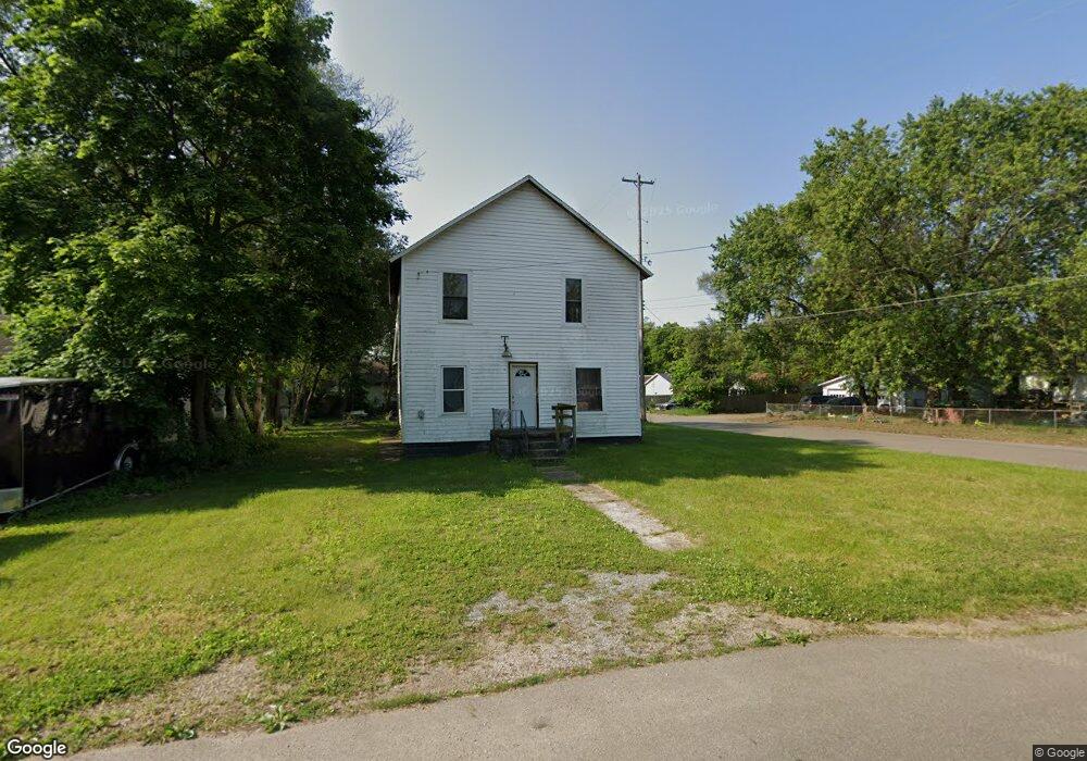
142 Rook St Battle Creek, MI 49014
Estimated Value: $76,000 - $152,000
5
Beds
3
Baths
2,040
Sq Ft
$57/Sq Ft
Est. Value
About This Home
This home is located at 142 Rook St, Battle Creek, MI 49014 and is currently estimated at $115,716, approximately $56 per square foot. 142 Rook St is a home located in Calhoun County with nearby schools including Harper Creek Middle School and Harper Creek High School.
Ownership History
Date
Name
Owned For
Owner Type
Purchase Details
Closed on
Aug 21, 2023
Sold by
Reed Invs Llc
Bought by
Mosley Joshua
Current Estimated Value
Purchase Details
Closed on
Aug 14, 2019
Sold by
Reed Investments Llc
Bought by
Martin Steven
Home Financials for this Owner
Home Financials are based on the most recent Mortgage that was taken out on this home.
Original Mortgage
$20,000
Interest Rate
3.8%
Mortgage Type
Land Contract Argmt. Of Sale
Purchase Details
Closed on
May 22, 2015
Sold by
Reed Investments Llc
Bought by
Wilson Michelle
Home Financials for this Owner
Home Financials are based on the most recent Mortgage that was taken out on this home.
Original Mortgage
$32,500
Interest Rate
7%
Mortgage Type
Seller Take Back
Purchase Details
Closed on
Sep 5, 2014
Sold by
Calhoun County Treasurer
Bought by
Reed Investments Llc
Create a Home Valuation Report for This Property
The Home Valuation Report is an in-depth analysis detailing your home's value as well as a comparison with similar homes in the area
Home Values in the Area
Average Home Value in this Area
Purchase History
| Date | Buyer | Sale Price | Title Company |
|---|---|---|---|
| Mosley Joshua | $12,000 | None Listed On Document | |
| Mosley Joshua | $12,000 | None Listed On Document | |
| Martin Steven | $25,000 | None Available | |
| Wilson Michelle | $35,000 | None Available | |
| Reed Investments Llc | -- | None Available |
Source: Public Records
Mortgage History
| Date | Status | Borrower | Loan Amount |
|---|---|---|---|
| Previous Owner | Martin Steven | $20,000 | |
| Previous Owner | Wilson Michelle | $32,500 |
Source: Public Records
Tax History Compared to Growth
Tax History
| Year | Tax Paid | Tax Assessment Tax Assessment Total Assessment is a certain percentage of the fair market value that is determined by local assessors to be the total taxable value of land and additions on the property. | Land | Improvement |
|---|---|---|---|---|
| 2025 | $1,869 | $46,920 | $0 | $0 |
| 2024 | $1,331 | $31,840 | $0 | $0 |
| 2023 | $1,563 | $35,820 | $0 | $0 |
| 2022 | $893 | $33,740 | $0 | $0 |
| 2021 | $1,192 | $20,950 | $0 | $0 |
| 2020 | $1,464 | $20,400 | $0 | $0 |
| 2019 | $801 | $20,400 | $0 | $0 |
| 2018 | $605 | $18,750 | $1,050 | $17,700 |
| 2017 | $605 | $16,500 | $0 | $0 |
| 2016 | $605 | $16,050 | $0 | $0 |
| 2015 | $731 | $15,000 | $0 | $0 |
| 2014 | $731 | $17,150 | $0 | $0 |
Source: Public Records
Map
Nearby Homes
- 138 Rook St
- 0 Rook St Unit 25019652
- 23 Bradford St
- 79 Clark St
- 255 Livingston St
- 131 Academy St
- 222 Lathrop Ave
- 507 Michigan Ave E
- 501 Michigan Ave E
- 140 Princeton St S
- 85 East Ave S
- 232 Cliff St
- 116 Inn Rd
- 45 Traverse St
- 118 Nelson St
- 174 Lathrop Ave
- 17 Wren St
- 155 Post Ave
- 28 East Ave S
- 52 Maple Grove Ave