142 Surf Dr Unit 478 Bronx, NY 10473
Clason Point NeighborhoodEstimated Value: $513,810 - $637,000
Studio
--
Bath
1,206
Sq Ft
$474/Sq Ft
Est. Value
About This Home
This home is located at 142 Surf Dr Unit 478, Bronx, NY 10473 and is currently estimated at $571,453, approximately $473 per square foot. 142 Surf Dr Unit 478 is a home located in Bronx County with nearby schools including P.S. 182 and Holy Cross Elementary School.
Ownership History
Date
Name
Owned For
Owner Type
Purchase Details
Closed on
Dec 21, 2009
Sold by
Beechwood Rb Shorehaven Llc
Bought by
Santiago Elizabeth
Current Estimated Value
Home Financials for this Owner
Home Financials are based on the most recent Mortgage that was taken out on this home.
Original Mortgage
$386,650
Outstanding Balance
$250,638
Interest Rate
4.78%
Mortgage Type
Purchase Money Mortgage
Estimated Equity
$320,815
Create a Home Valuation Report for This Property
The Home Valuation Report is an in-depth analysis detailing your home's value as well as a comparison with similar homes in the area
Home Values in the Area
Average Home Value in this Area
Purchase History
| Date | Buyer | Sale Price | Title Company |
|---|---|---|---|
| Santiago Elizabeth | $400,000 | -- |
Source: Public Records
Mortgage History
| Date | Status | Borrower | Loan Amount |
|---|---|---|---|
| Open | Santiago Elizabeth | $386,650 |
Source: Public Records
Tax History
| Year | Tax Paid | Tax Assessment Tax Assessment Total Assessment is a certain percentage of the fair market value that is determined by local assessors to be the total taxable value of land and additions on the property. | Land | Improvement |
|---|---|---|---|---|
| 2025 | $2,816 | $22,811 | $700 | $22,111 |
| 2024 | $2,816 | $22,811 | $750 | $22,061 |
| 2023 | $1,935 | $22,577 | $815 | $21,762 |
| 2022 | $983 | $24,498 | $952 | $23,546 |
| 2021 | $0 | $21,451 | $952 | $20,499 |
| 2020 | $176 | $24,013 | $952 | $23,061 |
| 2019 | $174 | $25,276 | $952 | $24,324 |
| 2018 | $169 | $18,814 | $706 | $18,108 |
| 2017 | $169 | $17,750 | $723 | $17,027 |
| 2016 | $166 | $16,746 | $678 | $16,068 |
| 2015 | $1,800 | $15,841 | $643 | $15,198 |
| 2014 | $1,800 | $15,841 | $625 | $15,216 |
Source: Public Records
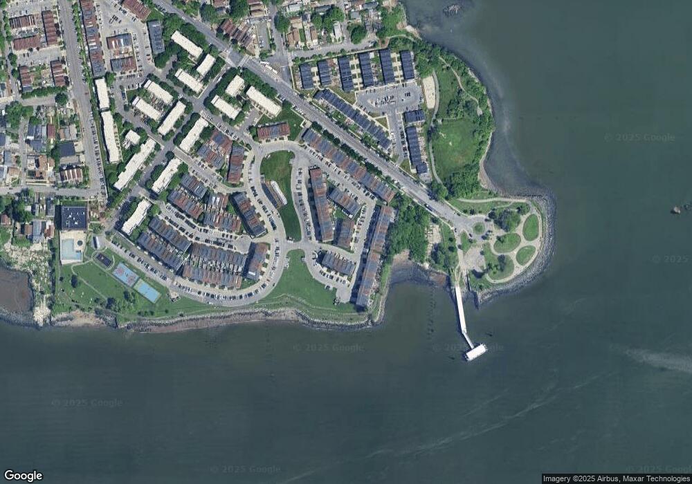
Map
Nearby Homes
- 169 Surf Dr Unit 109
- 197 Surf Dr Unit 123
- 163 Surf Dr Unit 199
- 114 Beacon Ln Unit 74
- 179 Surf Dr Unit 114
- 227 Surf Dr Unit 138
- 219 Surf Dr Unit 134B
- 101 Surf Dr Unit 23
- 100 Neptune Ln Unit 15100
- 132 Sunset Blvd Unit 11132
- 109 Fleet Ct
- 230 Fleet Ct Unit 16230
- 109 Dolphin Ct
- 126 Mermaid Ln Unit 174
- 127 Husson Ave
- 122 Stephens Ave
- 106 Bolton Ave
- 160 Stephens Ave
- 1540 Harding Park
- 203 White Plains Rd
- 162 Surf Dr Unit 488
- 158 Surf Dr Unit 486
- 154 Surf Dr Unit 484
- 150 Surf Dr Unit 482
- 146 Surf Dr Unit 480
- 142 Surf Dr Unit 43
- 167 Surf Dr Unit 199
- 167 Surf Dr
- 167 Surf Dr Unit 108
- 315 Surf Dr Unit 226
- 315 Surf Dr Unit 315
- 171 Surf Dr Unit 199
- 171 Surf Dr Unit 110
- 171 Surf Dr Unit 110
- 163 Surf Dr Unit 106
- 163 Surf Dr Unit 106
- 175 Surf Dr Unit 199
- 175 Surf Dr Unit 112
- 311 Surf Dr Unit 224B
- 311 Surf Dr
Your Personal Tour Guide
Ask me questions while you tour the home.