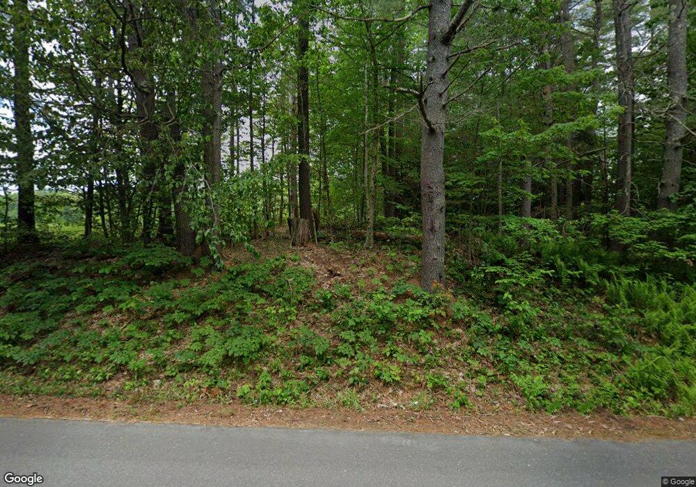
142 Surry Rd Gilsum, NH 03448
Estimated Value: $336,000 - $427,601
3
Beds
1
Bath
2,139
Sq Ft
$174/Sq Ft
Est. Value
About This Home
This home is located at 142 Surry Rd, Gilsum, NH 03448 and is currently estimated at $371,150, approximately $173 per square foot. 142 Surry Rd is a home with nearby schools including Gilsum STEAM Academy.
Create a Home Valuation Report for This Property
The Home Valuation Report is an in-depth analysis detailing your home's value as well as a comparison with similar homes in the area
Home Values in the Area
Average Home Value in this Area
Tax History Compared to Growth
Tax History
| Year | Tax Paid | Tax Assessment Tax Assessment Total Assessment is a certain percentage of the fair market value that is determined by local assessors to be the total taxable value of land and additions on the property. | Land | Improvement |
|---|---|---|---|---|
| 2024 | $5,678 | $390,500 | $124,400 | $266,100 |
| 2023 | $5,776 | $221,900 | $65,800 | $156,100 |
| 2022 | $5,230 | $221,900 | $65,800 | $156,100 |
| 2021 | $5,148 | $221,900 | $65,800 | $156,100 |
| 2020 | $792 | $221,900 | $65,800 | $156,100 |
| 2019 | $808 | $221,900 | $65,800 | $156,100 |
| 2018 | $928 | $185,300 | $52,100 | $133,200 |
| 2017 | $902 | $184,100 | $52,100 | $132,000 |
| 2016 | $1,043 | $184,100 | $52,100 | $132,000 |
| 2015 | $4,912 | $184,100 | $52,100 | $132,000 |
| 2014 | $5,425 | $184,100 | $52,100 | $132,000 |
| 2013 | $5,784 | $214,700 | $66,100 | $148,600 |
Source: Public Records
Map
Nearby Homes
- 00 High St Unit 1
- 101 Vessel Rock Rd
- 17 Dort Rd
- 28 Village Rd
- 16 Nash Corner Rd
- 0 Teela Dr Unit 5037010
- 29 Nash Corner Rd
- 225B Belvedere Rd
- Lot 4 Belvedere Rd
- 101 Gilsum Rd
- 33 Maclean Rd
- 0 Old Walpole Rd Unit 1
- 0 Old Walpole Rd Unit 5042168
- 0 Old Gilsum Rd Unit 5034729
- 00 Alstead Center Rd
- 32 Blueberry Hill Ln
- 105 South Rd
- Lot 53 Apple Hill Rd
- Lot 27-1 Old Walpole Rd
- 363 March Hill Rd
