142 Wilsontown Rd Bainbridge, GA 39817
Estimated Value: $65,228 - $177,000
--
Bed
--
Bath
1,440
Sq Ft
$72/Sq Ft
Est. Value
About This Home
This home is located at 142 Wilsontown Rd, Bainbridge, GA 39817 and is currently estimated at $103,057, approximately $71 per square foot. 142 Wilsontown Rd is a home with nearby schools including Bainbridge High School.
Ownership History
Date
Name
Owned For
Owner Type
Purchase Details
Closed on
Apr 24, 2025
Sold by
Cutchin Riley Quinten
Bought by
Cutchin William Edward
Current Estimated Value
Home Financials for this Owner
Home Financials are based on the most recent Mortgage that was taken out on this home.
Original Mortgage
$29,066
Outstanding Balance
$23,324
Interest Rate
6.65%
Mortgage Type
New Conventional
Estimated Equity
$79,733
Purchase Details
Closed on
Mar 20, 2020
Sold by
Butler Carolyn W
Bought by
Cutchin Riley Quinten
Home Financials for this Owner
Home Financials are based on the most recent Mortgage that was taken out on this home.
Original Mortgage
$31,310
Interest Rate
3.4%
Mortgage Type
New Conventional
Create a Home Valuation Report for This Property
The Home Valuation Report is an in-depth analysis detailing your home's value as well as a comparison with similar homes in the area
Home Values in the Area
Average Home Value in this Area
Purchase History
| Date | Buyer | Sale Price | Title Company |
|---|---|---|---|
| Cutchin William Edward | $35,000 | -- | |
| Cutchin Riley Quinten | $40,000 | -- |
Source: Public Records
Mortgage History
| Date | Status | Borrower | Loan Amount |
|---|---|---|---|
| Open | Cutchin William Edward | $29,066 | |
| Previous Owner | Cutchin Riley Quinten | $31,310 |
Source: Public Records
Tax History Compared to Growth
Tax History
| Year | Tax Paid | Tax Assessment Tax Assessment Total Assessment is a certain percentage of the fair market value that is determined by local assessors to be the total taxable value of land and additions on the property. | Land | Improvement |
|---|---|---|---|---|
| 2024 | $203 | $6,724 | $5,660 | $1,064 |
| 2023 | $196 | $6,724 | $5,660 | $1,064 |
| 2022 | $155 | $5,314 | $4,250 | $1,064 |
| 2021 | $155 | $5,220 | $3,800 | $1,420 |
| 2020 | $163 | $5,220 | $3,800 | $1,420 |
| 2019 | $168 | $12,095 | $3,800 | $8,295 |
| 2018 | $164 | $12,095 | $3,800 | $8,295 |
| 2017 | $147 | $12,095 | $3,800 | $8,295 |
| 2016 | $147 | $11,738 | $3,444 | $8,295 |
| 2015 | $150 | $11,738 | $3,444 | $8,295 |
| 2014 | $283 | $17,714 | $3,444 | $14,271 |
| 2013 | -- | $17,714 | $3,443 | $14,270 |
Source: Public Records
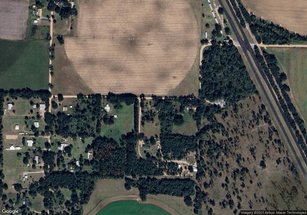
Map
Nearby Homes
- 934 Hatcher Rd
- 160 Manhole Rd
- 2137 Pondtown Rd
- Brinson Airbase Rd
- 1019 Zorn Rd
- 851 Colquitt Hwy
- 116 Flint River Heights Rd
- 125 John Sam Rd
- 0 Newton Rd
- 811 Colquitt Hwy
- 0 Brinson Airbase Rd
- 3327 Dothan Rd
- 850 Zorn Rd
- 135 Heritage Cr
- 0 Pine St Unit 10993
- 1063 Plantation Rd
- 150 Rivervale Dr
- 1302 Talmadge St
- 000 Conger Dr
- 604 Martin St
- 156 Wilsontown Rd
- 136 Wilsontown Rd
- 186 Donalson Rd
- 174 Donalson Rd
- 2033 Colquitt Hwy
- 193 Donaldson Rd
- 164 Donalson Rd
- 179 Donaldson Rd
- 2047 Colquitt Hwy
- 246 Donaldson Rd
- 2057 Colquitt Hwy
- 2063 Colquitt Hwy
- 265 Donaldson Rd
- 281 Donaldson Rd
- 241 Donaldson Rd
- 129 S Donalson Farm Rd
- 782 Old Eldorendo Rd
- 763 Old Eldorendo Rd
- 102 1st Ramp
- 2125 Colquitt Hwy