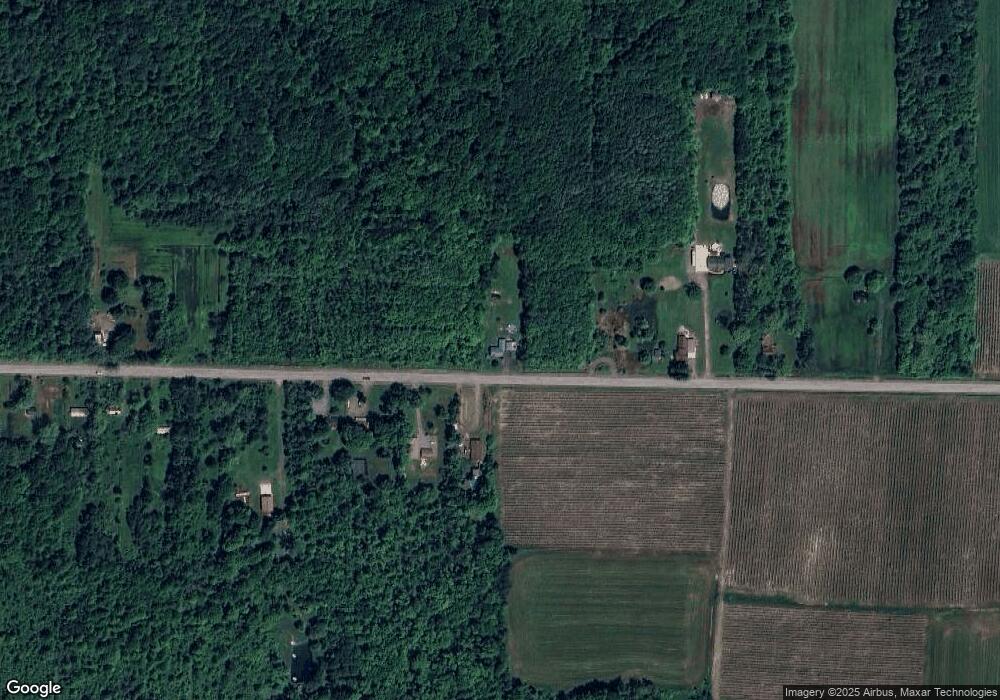
1420 Cain Rd Angola, NY 14006
Estimated Value: $249,000 - $291,000
3
Beds
2
Baths
1,608
Sq Ft
$165/Sq Ft
Est. Value
About This Home
This home is located at 1420 Cain Rd, Angola, NY 14006 and is currently estimated at $264,985, approximately $164 per square foot. 1420 Cain Rd is a home located in Erie County with nearby schools including North Collins Elementary School and North Collins Junior/Senior High School.
Ownership History
Date
Name
Owned For
Owner Type
Purchase Details
Closed on
Aug 17, 2005
Sold by
Myers Richard A
Bought by
Myers Richard A and Myers Patricia A
Current Estimated Value
Purchase Details
Closed on
Dec 2, 2004
Sold by
Schlenker Jack E and Schlenker Honor M
Bought by
Myers Richard A
Home Financials for this Owner
Home Financials are based on the most recent Mortgage that was taken out on this home.
Original Mortgage
$90,250
Outstanding Balance
$45,227
Interest Rate
5.74%
Mortgage Type
Purchase Money Mortgage
Estimated Equity
$219,758
Create a Home Valuation Report for This Property
The Home Valuation Report is an in-depth analysis detailing your home's value as well as a comparison with similar homes in the area
Home Values in the Area
Average Home Value in this Area
Purchase History
| Date | Buyer | Sale Price | Title Company |
|---|---|---|---|
| Myers Richard A | -- | None Available | |
| Myers Richard A | $95,000 | -- |
Source: Public Records
Mortgage History
| Date | Status | Borrower | Loan Amount |
|---|---|---|---|
| Open | Myers Richard A | $90,250 |
Source: Public Records
Tax History
| Year | Tax Paid | Tax Assessment Tax Assessment Total Assessment is a certain percentage of the fair market value that is determined by local assessors to be the total taxable value of land and additions on the property. | Land | Improvement |
|---|---|---|---|---|
| 2024 | $4,642 | $105,000 | $10,100 | $94,900 |
| 2023 | $4,508 | $105,000 | $10,100 | $94,900 |
| 2022 | $4,340 | $105,000 | $10,100 | $94,900 |
| 2021 | $4,274 | $105,000 | $10,100 | $94,900 |
| 2020 | $3,750 | $105,000 | $10,100 | $94,900 |
| 2019 | $3,630 | $105,000 | $10,100 | $94,900 |
| 2018 | $3,668 | $105,000 | $10,100 | $94,900 |
| 2017 | $1,967 | $105,000 | $10,100 | $94,900 |
| 2016 | $3,775 | $107,000 | $10,100 | $96,900 |
| 2015 | -- | $107,000 | $10,100 | $96,900 |
| 2014 | -- | $107,000 | $10,100 | $96,900 |
Source: Public Records
Map
Nearby Homes
- v/l Cain Rd
- 9694 Versailles Rd
- 0 Ryther Rd Unit R1639857
- V/L Southwestern Blvd
- 106 Grove St
- 26 Rosalind Dr
- 132 Grove St
- 68 Grove St
- 1307 Milestrip Rd
- 0 New Jerusalem Rd
- 1 Forest Ave
- 54 Glenwood Ave
- 336 N Main St
- V/L Erie Rd
- 0 Erie Rd Unit B1634608
- 0 Lake Shore Rd
- 9374 Steffi Dr
- 2001 Vermont St
- 642 Monroe Ave
- 9528 Chippewa St
Your Personal Tour Guide
Ask me questions while you tour the home.