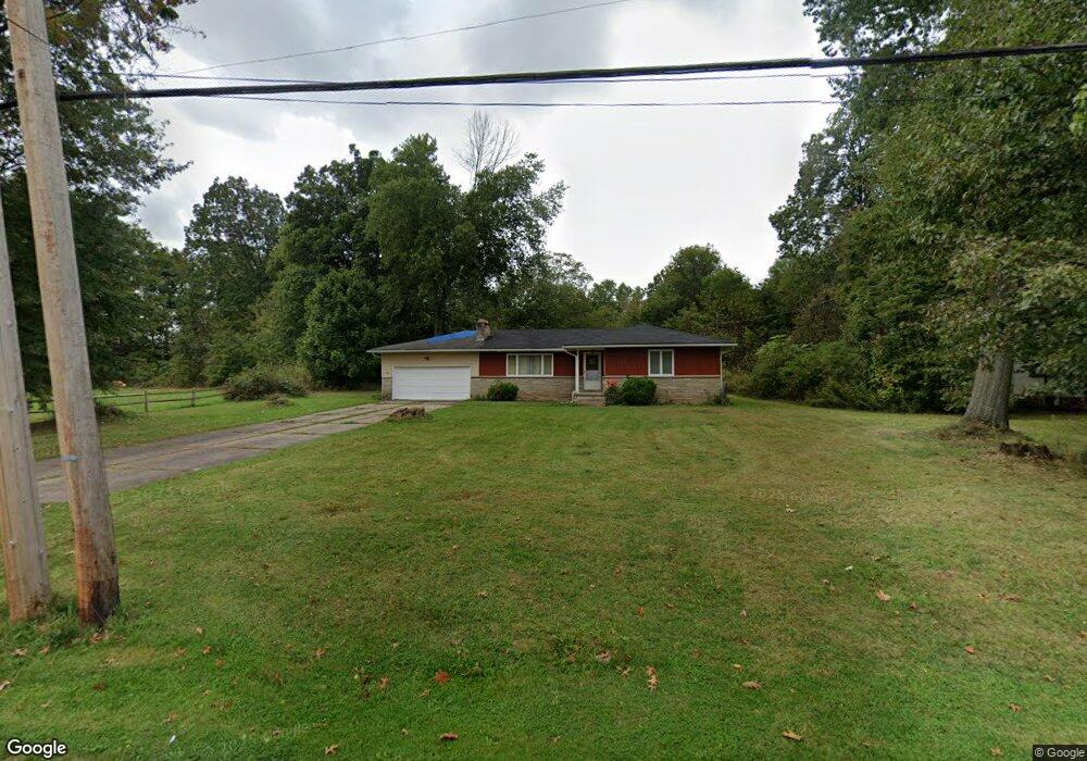
1420 N Gray Ave Youngstown, OH 44505
Landsdowne NeighborhoodEstimated Value: $68,000 - $79,000
3
Beds
1
Bath
1,308
Sq Ft
$57/Sq Ft
Est. Value
About This Home
This home is located at 1420 N Gray Ave, Youngstown, OH 44505 and is currently estimated at $75,061, approximately $57 per square foot. 1420 N Gray Ave is a home located in Mahoning County with nearby schools including M.L. King Elementary School, East High School, and Youngstown Preparatory Academy.
Ownership History
Date
Name
Owned For
Owner Type
Purchase Details
Closed on
Mar 28, 2003
Sold by
Gibson Richard A and Dew Delores
Bought by
Mays Joe and Mays Patricia
Current Estimated Value
Home Financials for this Owner
Home Financials are based on the most recent Mortgage that was taken out on this home.
Original Mortgage
$38,350
Outstanding Balance
$16,608
Interest Rate
5.86%
Estimated Equity
$58,453
Purchase Details
Closed on
Apr 24, 2002
Sold by
Estate Of Erma R Jones
Bought by
Gibson Richard A and Dew Delores
Purchase Details
Closed on
Jan 22, 1991
Bought by
Jones Erma R
Create a Home Valuation Report for This Property
The Home Valuation Report is an in-depth analysis detailing your home's value as well as a comparison with similar homes in the area
Home Values in the Area
Average Home Value in this Area
Purchase History
| Date | Buyer | Sale Price | Title Company |
|---|---|---|---|
| Mays Joe | $40,400 | -- | |
| Gibson Richard A | -- | -- | |
| Jones Erma R | -- | -- |
Source: Public Records
Mortgage History
| Date | Status | Borrower | Loan Amount |
|---|---|---|---|
| Open | Mays Joe | $38,350 |
Source: Public Records
Tax History Compared to Growth
Tax History
| Year | Tax Paid | Tax Assessment Tax Assessment Total Assessment is a certain percentage of the fair market value that is determined by local assessors to be the total taxable value of land and additions on the property. | Land | Improvement |
|---|---|---|---|---|
| 2024 | $243 | $14,840 | $880 | $13,960 |
| 2023 | $270 | $14,840 | $880 | $13,960 |
| 2022 | $54 | $9,570 | $830 | $8,740 |
| 2021 | $54 | $9,570 | $830 | $8,740 |
| 2020 | $54 | $9,570 | $830 | $8,740 |
| 2019 | $43 | $8,870 | $770 | $8,100 |
| 2018 | $44 | $8,870 | $770 | $8,100 |
| 2017 | $41 | $8,870 | $770 | $8,100 |
| 2016 | $176 | $11,420 | $770 | $10,650 |
| 2015 | $172 | $11,420 | $770 | $10,650 |
| 2014 | $171 | $11,420 | $770 | $10,650 |
| 2013 | $168 | $11,420 | $770 | $10,650 |
Source: Public Records
Map
Nearby Homes
- 1325 Miami Ave
- 902 Miami St
- 1538 Republic Ave
- 566 Sunshine Ave
- 1214 Brighton St
- 1720 Jacobs Rd
- 405 Drake Ave
- 2160 Lansdowne Blvd
- 598 Cassius Ave
- 3209 Castalia Ave
- 0 Homestead Rd
- V/L Jacobs Rd
- 3244 Nelson Ave
- 2951 Megan Cir
- 2831 Benford Ln
- 2954 Megan Cir
- 2824 Benford Ln
- 0 Mccartney Rd Unit 5030673
- 2428 Wydesteel Ave
- 5843 Fairlawn Ave
- 1428 N Gray Ave
- 1400 N Gray Ave
- 2272 Bott St
- 1423 N Gray Ave
- 1396 N Gray Ave
- 1411 N Gray Ave
- 1390 N Gray Ave
- 1387 Kenneth St
- 1385 Kenneth St
- 1349 N Gray Ave
- 2321 Bott St
- 1391 Kenneth St
- 2323 Bott St
- 1383 Kenneth St
- 1341 N Gray Ave
- 1381 Kenneth St
- 1393 Kenneth St
- 1388 Kenneth St
- 1379 Kenneth St
- 1390 Kenneth St