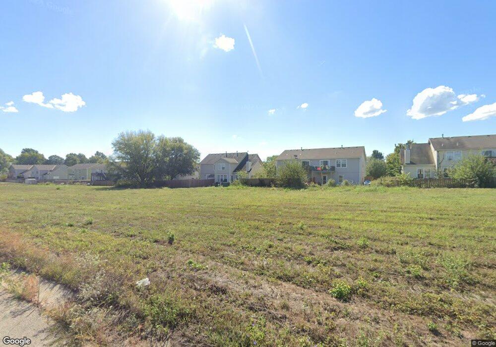
1420 S 5th St E Louisburg, KS 66053
Estimated Value: $238,000 - $273,000
3
Beds
4
Baths
1,466
Sq Ft
$174/Sq Ft
Est. Value
About This Home
This home is located at 1420 S 5th St E, Louisburg, KS 66053 and is currently estimated at $255,498, approximately $174 per square foot. 1420 S 5th St E is a home located in Miami County with nearby schools including Rockville Elementary School, Broadmoor Elementary School, and Louisburg Middle School.
Ownership History
Date
Name
Owned For
Owner Type
Purchase Details
Closed on
Jul 12, 2019
Sold by
Brown Gregory A
Bought by
Ellis Linda A and Ellis Trust
Current Estimated Value
Home Financials for this Owner
Home Financials are based on the most recent Mortgage that was taken out on this home.
Original Mortgage
$96,941
Outstanding Balance
$84,929
Interest Rate
3.82%
Mortgage Type
Commercial
Estimated Equity
$170,569
Create a Home Valuation Report for This Property
The Home Valuation Report is an in-depth analysis detailing your home's value as well as a comparison with similar homes in the area
Home Values in the Area
Average Home Value in this Area
Purchase History
| Date | Buyer | Sale Price | Title Company |
|---|---|---|---|
| Ellis Linda A | -- | Security First Title |
Source: Public Records
Mortgage History
| Date | Status | Borrower | Loan Amount |
|---|---|---|---|
| Open | Ellis Linda A | $96,941 |
Source: Public Records
Tax History Compared to Growth
Tax History
| Year | Tax Paid | Tax Assessment Tax Assessment Total Assessment is a certain percentage of the fair market value that is determined by local assessors to be the total taxable value of land and additions on the property. | Land | Improvement |
|---|---|---|---|---|
| 2025 | $2,928 | $29,704 | $3,728 | $25,976 |
| 2024 | $2,928 | $28,290 | $5,213 | $23,077 |
| 2023 | $3,006 | $28,290 | $4,240 | $24,050 |
| 2022 | $2,436 | $21,271 | $2,525 | $18,746 |
| 2021 | $1,318 | $0 | $0 | $0 |
| 2020 | $2,293 | $0 | $0 | $0 |
| 2019 | $2,533 | $0 | $0 | $0 |
| 2018 | $2,397 | $0 | $0 | $0 |
| 2017 | $2,271 | $0 | $0 | $0 |
| 2016 | -- | $0 | $0 | $0 |
| 2015 | -- | $0 | $0 | $0 |
| 2014 | -- | $0 | $0 | $0 |
| 2013 | -- | $0 | $0 | $0 |
Source: Public Records
Map
Nearby Homes
- Twin Honeydew Plan at Starbrooke
- Twin Emerald Plan at Starbrooke
- 1312 S 4th St E
- 1303 S 4th St E
- 1310 S 4th St E
- 1342 S 3rd St E N A
- 1301 S 4th St E
- 1240 S 6th St E
- 1416 Starbrooke Dr
- 0 Harvest Dr Unit HMS2564792
- 1306 N 1st St E
- 1103 N 2nd St E
- 1307 N 4th St E
- 1309 N 4th St E
- 208 Shoreline Dr
- 205 S Broadmoor St
- 9960 K-68 Hwy
- 25145 Metcalf St
- 0 Metcalf St
- 201 S 8th St
- 1412 S 5th St E
- 1430 S 5th St E
- 1410 S 5th St E
- 1432 S 5th St E
- 1402 S 5th St E
- 1400 S 5th St E
- 1421 S 5th St E
- 1440 S 5th St E
- 1423 S 5th St E
- 1413 S 5th St E
- 1411 S 5th St E
- 1431 S 5th St E
- 1442 S 5th St E
- 1334 S 5th St E
- 1433 S 5th St E
- 1401 N 4th St E
- 1401 N 4th St E
- 1441 S 5th St E
- 1401 S 5th St E Unit East
- 1401 S 5th St E