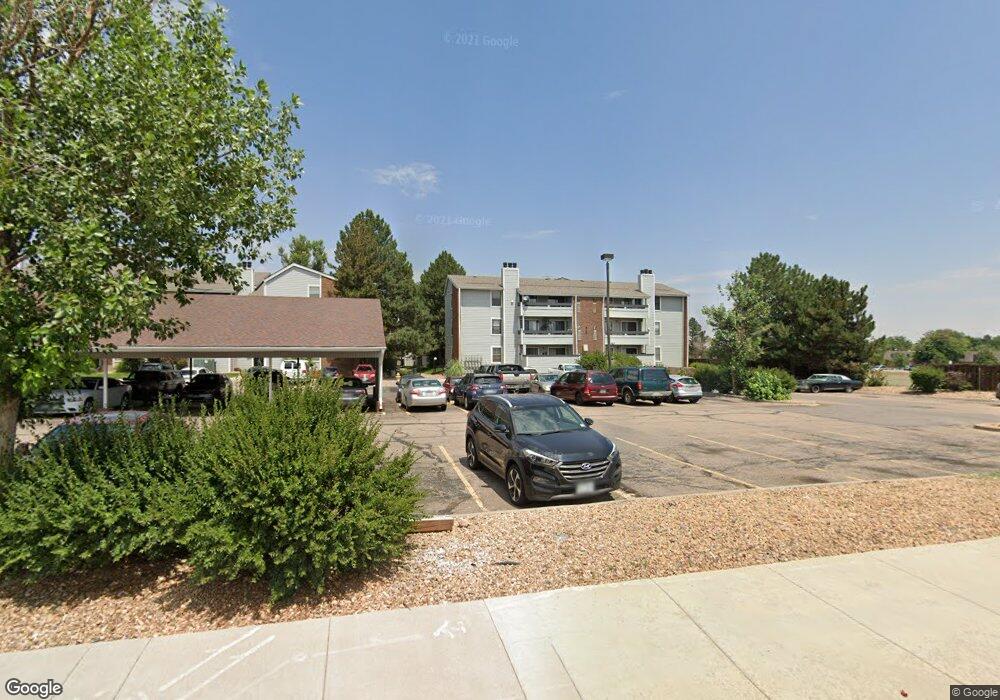
14206 E 1st Dr Unit B03 Aurora, CO 80011
City Center North NeighborhoodEstimated Value: $173,000 - $198,000
1
Bed
1
Bath
756
Sq Ft
$241/Sq Ft
Est. Value
About This Home
This home is located at 14206 E 1st Dr Unit B03, Aurora, CO 80011 and is currently estimated at $182,571, approximately $241 per square foot. 14206 E 1st Dr Unit B03 is a home located in Arapahoe County with nearby schools including East Middle School, Hinkley High School, and Aurora Community School.
Ownership History
Date
Name
Owned For
Owner Type
Purchase Details
Closed on
Jul 30, 2021
Sold by
Schrock Jacque and The Schrock Family Trust
Bought by
Christie Mari
Current Estimated Value
Home Financials for this Owner
Home Financials are based on the most recent Mortgage that was taken out on this home.
Original Mortgage
$6,324
Outstanding Balance
$5,750
Interest Rate
2.9%
Mortgage Type
Stand Alone Second
Estimated Equity
$176,821
Purchase Details
Closed on
Apr 8, 1991
Sold by
Glendale Federal Bank
Bought by
Schrock Family Trust
Purchase Details
Closed on
Jul 19, 1990
Sold by
Christianson Forrest G
Bought by
Glendale Federal Bank
Purchase Details
Closed on
Dec 31, 1986
Sold by
Conversion Arapco
Bought by
Christianson Forrest G
Purchase Details
Closed on
Dec 1, 1982
Bought by
Conversion Arapco
Create a Home Valuation Report for This Property
The Home Valuation Report is an in-depth analysis detailing your home's value as well as a comparison with similar homes in the area
Home Values in the Area
Average Home Value in this Area
Purchase History
| Date | Buyer | Sale Price | Title Company |
|---|---|---|---|
| Christie Mari | $163,000 | Capstone Title | |
| Schrock Family Trust | -- | -- | |
| Glendale Federal Bank | -- | -- | |
| Christianson Forrest G | -- | -- | |
| Conversion Arapco | -- | -- |
Source: Public Records
Mortgage History
| Date | Status | Borrower | Loan Amount |
|---|---|---|---|
| Open | Christie Mari | $6,324 |
Source: Public Records
Tax History Compared to Growth
Tax History
| Year | Tax Paid | Tax Assessment Tax Assessment Total Assessment is a certain percentage of the fair market value that is determined by local assessors to be the total taxable value of land and additions on the property. | Land | Improvement |
|---|---|---|---|---|
| 2024 | $988 | $10,627 | -- | -- |
| 2023 | $988 | $10,627 | $0 | $0 |
| 2022 | $1,050 | $10,460 | $0 | $0 |
| 2021 | $1,084 | $10,460 | $0 | $0 |
| 2020 | $1,075 | $10,325 | $0 | $0 |
| 2019 | $1,069 | $10,325 | $0 | $0 |
| 2018 | $613 | $5,796 | $0 | $0 |
| 2017 | $533 | $5,796 | $0 | $0 |
| 2016 | $459 | $4,888 | $0 | $0 |
| 2015 | $443 | $4,888 | $0 | $0 |
| 2014 | $221 | $2,348 | $0 | $0 |
| 2013 | -- | $2,260 | $0 | $0 |
Source: Public Records
Map
Nearby Homes
- 14214 E 1st Dr Unit B08
- 14208 E 1st Dr Unit A2
- 14208 E 1st Dr Unit C1
- 14216 E 1st Dr Unit C03
- 14218 E 1st Dr Unit A05
- 14467 E 1st Dr Unit A09
- 14226 E 1st Dr Unit B10
- 14224 E 1st Dr Unit B02
- 14439 E 1st Dr Unit C11
- 14495 E 1st Dr Unit C2
- 14495 E 1st Dr Unit C1
- 14495 E 1st Dr Unit B7
- 14353 E 1st Dr Unit 201
- 61 S Sable Blvd Unit C15
- 14435 E 1st Dr Unit B2
- 14211 E 1st Dr Unit 307
- 14251 E 1st Dr Unit 308
- 14251 E 1st Dr Unit 305
- 14241 E 1st Dr Unit 201
- 14500 E 2nd Ave Unit 209A
- 14206 E 1st Dr Unit C10
- 14206 E 1st Dr Unit B10
- 14206 E 1st Dr Unit A10
- 14206 E 1st Dr Unit C09
- 14206 E 1st Dr Unit A09
- 14206 E 1st Dr Unit C04
- 14206 E 1st Dr Unit B04
- 14206 E 1st Dr Unit A04
- 14206 E 1st Dr Unit C03
- 14206 E 1st Dr Unit A03
- 14206 E 1st Dr
- 14204 E 1st Dr Unit C12
- 14204 E 1st Dr Unit B12
- 14204 E 1st Dr Unit A12
- 14204 E 1st Dr Unit C11
- 14204 E 1st Dr Unit B11
- 14204 E 1st Dr Unit A11
- 14204 E 1st Dr Unit C06
- 14204 E 1st Dr Unit B06
- 14204 E 1st Dr Unit A06