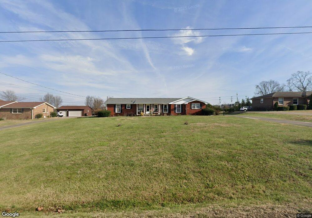
1421 Barrett Dr Mount Juliet, TN 37122
Estimated Value: $374,584 - $406,000
--
Bed
2
Baths
1,285
Sq Ft
$305/Sq Ft
Est. Value
About This Home
This home is located at 1421 Barrett Dr, Mount Juliet, TN 37122 and is currently estimated at $391,896, approximately $304 per square foot. 1421 Barrett Dr is a home located in Wilson County with nearby schools including Stoner Creek Elementary School, West Wilson Middle School, and Mt. Juliet High School.
Ownership History
Date
Name
Owned For
Owner Type
Purchase Details
Closed on
Mar 8, 2011
Sold by
Edwards Rita C Suc
Bought by
Journigan Theodore
Current Estimated Value
Home Financials for this Owner
Home Financials are based on the most recent Mortgage that was taken out on this home.
Original Mortgage
$146,197
Interest Rate
4.99%
Purchase Details
Closed on
Sep 30, 1977
Bought by
Seamon Robert J
Create a Home Valuation Report for This Property
The Home Valuation Report is an in-depth analysis detailing your home's value as well as a comparison with similar homes in the area
Home Values in the Area
Average Home Value in this Area
Purchase History
| Date | Buyer | Sale Price | Title Company |
|---|---|---|---|
| Journigan Theodore | $150,000 | -- | |
| Seamon Robert J | -- | -- |
Source: Public Records
Mortgage History
| Date | Status | Borrower | Loan Amount |
|---|---|---|---|
| Open | Seamon Robert J | $135,000 | |
| Closed | Seamon Robert J | $31,500 | |
| Closed | Journigan Theodore | $146,197 |
Source: Public Records
Tax History Compared to Growth
Tax History
| Year | Tax Paid | Tax Assessment Tax Assessment Total Assessment is a certain percentage of the fair market value that is determined by local assessors to be the total taxable value of land and additions on the property. | Land | Improvement |
|---|---|---|---|---|
| 2024 | $1,165 | $61,050 | $18,750 | $42,300 |
| 2022 | $1,161 | $60,800 | $18,750 | $42,050 |
| 2021 | $1,227 | $60,800 | $18,750 | $42,050 |
| 2020 | $1,119 | $60,800 | $18,750 | $42,050 |
| 2019 | $138 | $41,675 | $14,825 | $26,850 |
| 2018 | $1,119 | $41,675 | $14,825 | $26,850 |
| 2017 | $1,119 | $41,675 | $14,825 | $26,850 |
| 2016 | $1,119 | $41,675 | $14,825 | $26,850 |
| 2015 | $1,155 | $41,675 | $14,825 | $26,850 |
| 2014 | $1,084 | $39,128 | $0 | $0 |
Source: Public Records
Map
Nearby Homes
- 1402 Fairview Dr
- 3435 Weston Dr
- 1 Dogwood Dr
- 100 Catalpa Dr
- 1146 Secretariat Dr
- 1142 Secretariat Dr
- 0 Clemmons Rd
- 217 Trevor Dr
- 210 Trevor Dr
- 312 Buckner Cir
- 118 Jane Crossing
- 104 Jane Crossing
- 4600 Boxcroft Cir
- 3017 Kingston Cir N
- 0 E Division St
- 3020 Kingston Cir N
- 212 Jackson Trail
- 1010 S Mount Juliet Rd
- 2019 Hidden Cove Rd
- 2976 Kingston Cir S
- 1419 Barrett Dr
- 1423 Barrett Dr
- 1420 Barrett Dr
- 1417 Barrett Dr
- 656 N Mount Juliet Rd
- 708 N Mount Juliet Rd
- 1418 Barrett Dr
- 1422 Barrett Dr
- 730 N Mount Juliet Rd
- 1416 Barrett Dr
- 1415 Barrett Dr
- 3 NW Rutland Rd
- 1414 Barrett Dr
- 1413 Barrett Dr
- 21 NW Rutland Rd
- 1411 Barrett Dr
- 1410 Barrett Dr
- 1409 Barrett Dr
- 1408 Barrett Dr
- 830 N Mount Juliet Rd