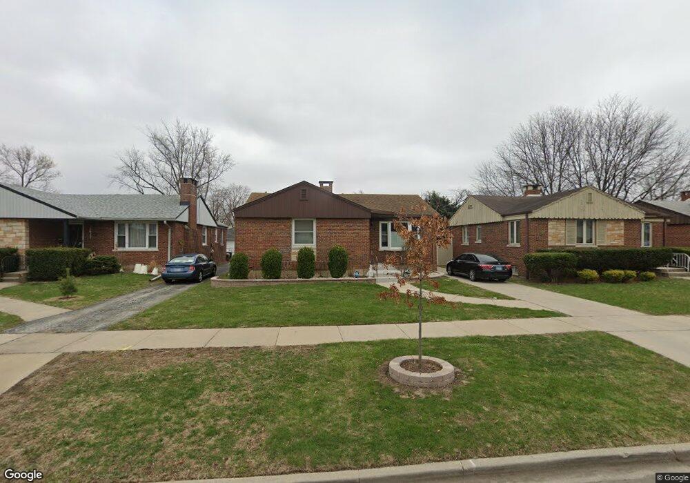
1421 Norfolk Ave Westchester, IL 60154
Estimated Value: $322,000 - $371,000
3
Beds
2
Baths
1,122
Sq Ft
$307/Sq Ft
Est. Value
About This Home
This home is located at 1421 Norfolk Ave, Westchester, IL 60154 and is currently estimated at $344,602, approximately $307 per square foot. 1421 Norfolk Ave is a home located in Cook County with nearby schools including Westchester Primary School, Westchester Intermediate School, and Westchester Middle School.
Ownership History
Date
Name
Owned For
Owner Type
Purchase Details
Closed on
Jun 23, 2023
Sold by
Susan C Martin Declaration Of Trust
Bought by
Ditusa Anthony J and Accardo Rosemary
Current Estimated Value
Home Financials for this Owner
Home Financials are based on the most recent Mortgage that was taken out on this home.
Original Mortgage
$246,000
Outstanding Balance
$240,122
Interest Rate
7%
Mortgage Type
New Conventional
Estimated Equity
$104,480
Purchase Details
Closed on
Feb 23, 2023
Sold by
Martin Susan C
Bought by
Susan C Martin Declaration Of Trust and Martin
Create a Home Valuation Report for This Property
The Home Valuation Report is an in-depth analysis detailing your home's value as well as a comparison with similar homes in the area
Home Values in the Area
Average Home Value in this Area
Purchase History
| Date | Buyer | Sale Price | Title Company |
|---|---|---|---|
| Ditusa Anthony J | $307,500 | None Listed On Document | |
| Susan C Martin Declaration Of Trust | -- | None Listed On Document |
Source: Public Records
Mortgage History
| Date | Status | Borrower | Loan Amount |
|---|---|---|---|
| Open | Ditusa Anthony J | $246,000 |
Source: Public Records
Tax History Compared to Growth
Tax History
| Year | Tax Paid | Tax Assessment Tax Assessment Total Assessment is a certain percentage of the fair market value that is determined by local assessors to be the total taxable value of land and additions on the property. | Land | Improvement |
|---|---|---|---|---|
| 2024 | $4,995 | $25,000 | $5,628 | $19,372 |
| 2023 | $4,143 | $25,000 | $5,628 | $19,372 |
| 2022 | $4,143 | $19,736 | $4,824 | $14,912 |
| 2021 | $2,581 | $19,736 | $4,824 | $14,912 |
| 2020 | $2,349 | $19,736 | $4,824 | $14,912 |
| 2019 | $3,886 | $19,929 | $4,422 | $15,507 |
| 2018 | $3,832 | $19,929 | $4,422 | $15,507 |
| 2017 | $3,788 | $19,929 | $4,422 | $15,507 |
| 2016 | $3,355 | $16,580 | $4,020 | $12,560 |
| 2015 | $3,479 | $16,580 | $4,020 | $12,560 |
| 2014 | $3,425 | $16,580 | $4,020 | $12,560 |
| 2013 | $3,741 | $19,391 | $4,020 | $15,371 |
Source: Public Records
Map
Nearby Homes
- 1500 Bristol Ave
- 1433 Bristol Ave
- 1601 Bristol Ave
- 1623 Manchester Ave
- 10072 Drury Ln
- 1816 Manchester Ave
- 1840 Gardner Rd
- 1119 Newcastle Ave
- 1900 Manchester Ave
- 1907 Suffolk Ave
- 923 Manchester Ave
- 920 Suffolk Ave
- 1932 Newcastle Ave
- 814 Norfolk Ave
- 1247 S Mannheim Rd Unit 3
- 2320 S 22nd Ave
- 805 Norfolk Ave
- 750 Bristol Ave
- 2237 S 22nd Ave
- 2128 Hull Ave
- 1417 Norfolk Ave
- 1413 Norfolk Ave
- 1422 Manchester Ave
- 1437 Norfolk Ave
- 1426 Manchester Ave
- 1416 Manchester Ave
- 1409 Norfolk Ave
- 1432 Manchester Ave
- 1412 Manchester Ave
- 1441 Norfolk Ave
- 1420 Norfolk Ave
- 1426 Norfolk Ave
- 1401 Norfolk Ave
- 1436 Manchester Ave
- 1406 Manchester Ave
- 1430 Norfolk Ave
- 1414 Norfolk Ave
- 1436 Norfolk Ave
- 1408 Norfolk Ave