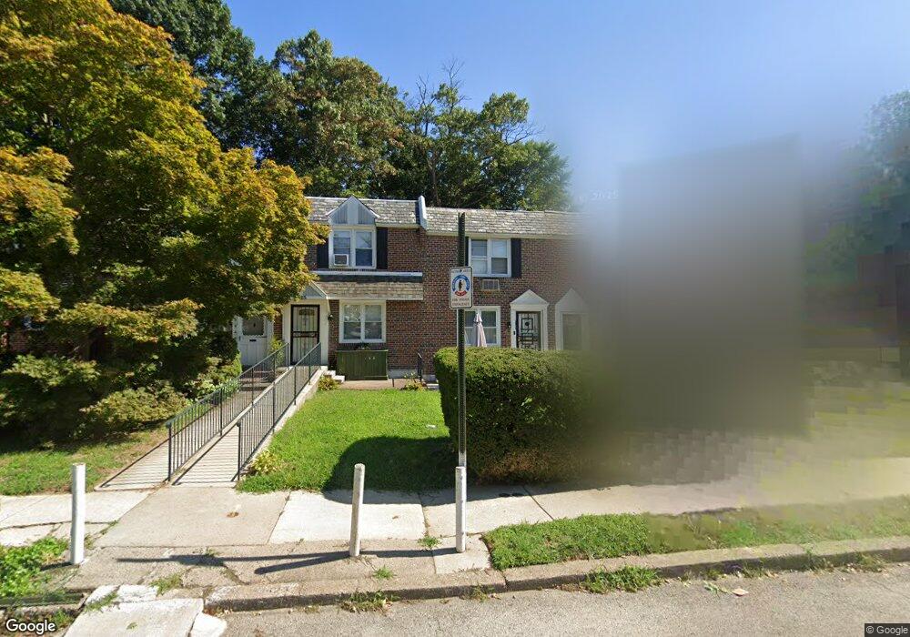
1421 W End Dr Philadelphia, PA 19151
Overbrook NeighborhoodEstimated Value: $214,000 - $253,000
3
Beds
1
Bath
1,120
Sq Ft
$204/Sq Ft
Est. Value
About This Home
This home is located at 1421 W End Dr, Philadelphia, PA 19151 and is currently estimated at $228,356, approximately $203 per square foot. 1421 W End Dr is a home located in Philadelphia County with nearby schools including Lamberton Robert E School, Overbrook High School, and West Philadelphia Achievement Charter Elementary School.
Ownership History
Date
Name
Owned For
Owner Type
Purchase Details
Closed on
Jan 31, 2006
Sold by
Falik Diane R and Falik Gordon
Bought by
Davis Margaret K
Current Estimated Value
Home Financials for this Owner
Home Financials are based on the most recent Mortgage that was taken out on this home.
Original Mortgage
$108,000
Outstanding Balance
$61,052
Interest Rate
6.27%
Mortgage Type
Fannie Mae Freddie Mac
Estimated Equity
$167,304
Create a Home Valuation Report for This Property
The Home Valuation Report is an in-depth analysis detailing your home's value as well as a comparison with similar homes in the area
Home Values in the Area
Average Home Value in this Area
Purchase History
| Date | Buyer | Sale Price | Title Company |
|---|---|---|---|
| Davis Margaret K | $120,000 | None Available |
Source: Public Records
Mortgage History
| Date | Status | Borrower | Loan Amount |
|---|---|---|---|
| Open | Davis Margaret K | $108,000 |
Source: Public Records
Tax History Compared to Growth
Tax History
| Year | Tax Paid | Tax Assessment Tax Assessment Total Assessment is a certain percentage of the fair market value that is determined by local assessors to be the total taxable value of land and additions on the property. | Land | Improvement |
|---|---|---|---|---|
| 2025 | $2,223 | $192,300 | $38,460 | $153,840 |
| 2024 | $2,223 | $192,300 | $38,460 | $153,840 |
| 2023 | $2,223 | $158,800 | $31,760 | $127,040 |
| 2022 | $1,888 | $158,800 | $31,760 | $127,040 |
| 2021 | $1,888 | $0 | $0 | $0 |
| 2020 | $1,888 | $0 | $0 | $0 |
| 2019 | $1,818 | $0 | $0 | $0 |
| 2018 | $1,884 | $0 | $0 | $0 |
| 2017 | $1,884 | $0 | $0 | $0 |
| 2016 | $1,884 | $0 | $0 | $0 |
| 2015 | $1,804 | $0 | $0 | $0 |
| 2014 | -- | $134,600 | $16,506 | $118,094 |
| 2012 | -- | $15,808 | $2,076 | $13,732 |
Source: Public Records
Map
Nearby Homes
- 7326 Brookhaven Rd
- 7251 Haverford Ave
- 1721 N 72nd St
- 7448 Rhoads St
- 7517 Brookhaven Rd
- 7519 Brookhaven Rd
- 7507 Sherwood Rd
- 7452 Brockton Rd
- 7530 Greenhill Rd
- 7102 City Ave
- 1843-45 N 72nd St
- 7520 Overbrook Ave
- 7603 Woodcrest Ave
- 7546 Overbrook Ave
- 1848 N 76th St
- 7641 Brentwood Rd
- 7650 Sherwood Rd
- 6618 Malvern Ave
- 1004 N 66th St
- 924 N 66th St