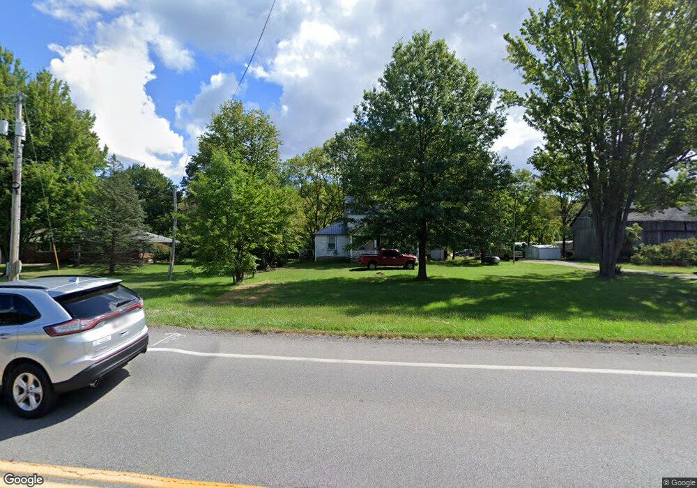
14211 State Route 301 Lagrange, OH 44050
Estimated Value: $228,000 - $282,000
4
Beds
2
Baths
1,572
Sq Ft
$162/Sq Ft
Est. Value
About This Home
This home is located at 14211 State Route 301, Lagrange, OH 44050 and is currently estimated at $254,724, approximately $162 per square foot. 14211 State Route 301 is a home located in Lorain County with nearby schools including Keystone Elementary School, Keystone Middle School, and Keystone High School.
Ownership History
Date
Name
Owned For
Owner Type
Purchase Details
Closed on
Nov 9, 2006
Bought by
Linden Holly M and Holly M Linden Revocable Trust
Current Estimated Value
Home Financials for this Owner
Home Financials are based on the most recent Mortgage that was taken out on this home.
Original Mortgage
$65,000
Outstanding Balance
$38,814
Interest Rate
6.38%
Mortgage Type
Seller Take Back
Estimated Equity
$215,910
Purchase Details
Closed on
Dec 16, 2004
Purchase Details
Closed on
Dec 23, 1998
Create a Home Valuation Report for This Property
The Home Valuation Report is an in-depth analysis detailing your home's value as well as a comparison with similar homes in the area
Home Values in the Area
Average Home Value in this Area
Purchase History
| Date | Buyer | Sale Price | Title Company |
|---|---|---|---|
| Linden Holly M | $115,000 | Attorney | |
| -- | -- | -- | |
| -- | -- | -- |
Source: Public Records
Mortgage History
| Date | Status | Borrower | Loan Amount |
|---|---|---|---|
| Open | Linden Holly M | $65,000 |
Source: Public Records
Tax History Compared to Growth
Tax History
| Year | Tax Paid | Tax Assessment Tax Assessment Total Assessment is a certain percentage of the fair market value that is determined by local assessors to be the total taxable value of land and additions on the property. | Land | Improvement |
|---|---|---|---|---|
| 2024 | $2,448 | $59,007 | $17,126 | $41,881 |
| 2023 | $1,400 | $27,461 | $16,468 | $10,994 |
| 2022 | $1,389 | $27,461 | $16,468 | $10,994 |
| 2021 | $1,388 | $27,461 | $16,468 | $10,994 |
| 2020 | $1,423 | $25,530 | $15,310 | $10,220 |
| 2019 | $1,413 | $25,530 | $15,310 | $10,220 |
| 2018 | $1,590 | $25,530 | $15,310 | $10,220 |
| 2017 | $1,762 | $29,820 | $15,330 | $14,490 |
| 2016 | $1,750 | $29,820 | $15,330 | $14,490 |
| 2015 | $1,722 | $29,820 | $15,330 | $14,490 |
| 2014 | $1,389 | $29,820 | $15,330 | $14,490 |
| 2013 | $1,389 | $29,820 | $15,330 | $14,490 |
Source: Public Records
Map
Nearby Homes
- 40175 Banks Rd
- 40163 Banks Rd
- 41763 Rachael Dr
- 39738 Banks Rd
- 756 N Center St
- 829 Robinson Dr
- 831 Robinson Dr
- 822 Robinson Dr
- 340 Granger Dr
- 808 Buckingham Dr
- 800 Buckingham Dr
- 801 Willich Ct
- 405 U s Grant St
- 630 Rundle St
- 548 William St
- 607 Rundle St
- 516 Appomattox Ct
- 171 Keywood Blvd
- Alberti Ranch w/ Finished Basement Plan at Fox Run
- Palladio Ranch w/ Finished Basement Plan at Fox Run
- 14169 State Route 301
- 14394 Lagrange Rd
- 14394 State Route 301
- 14356 State Route 301
- VL E Lagrange Rd
- 41012 Parsons Rd
- 14300 State Route 301
- 14159 State Route 301
- 14294 State Route 301
- 40921 Parsons Rd
- 41018 Parsons Rd
- VL D Parsons Rd
- 14446 Ohio 301
- 14446 State Route 301
- 41022 Parsons Rd
- VL C Parsons Rd
- VL E & F Parsons Rd
- 40829 Parsons Rd
- 328 Church St
- 40801 Parsons Rd