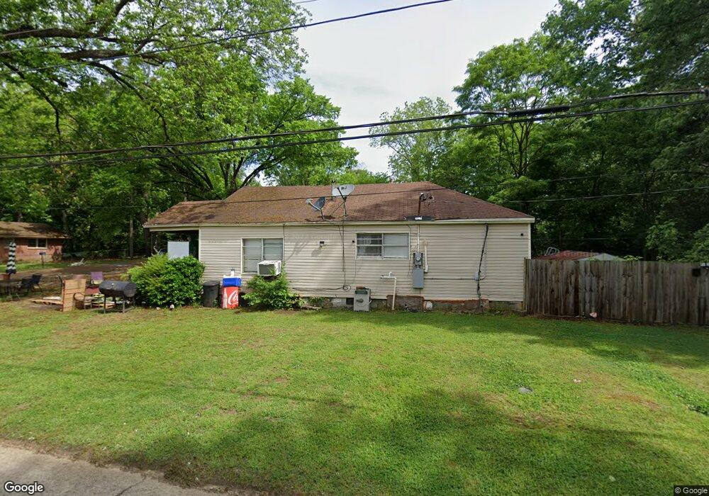
1422 Howard St Covington, TN 38019
Estimated Value: $116,346 - $128,000
--
Bed
1
Bath
1,026
Sq Ft
$119/Sq Ft
Est. Value
About This Home
This home is located at 1422 Howard St, Covington, TN 38019 and is currently estimated at $121,587, approximately $118 per square foot. 1422 Howard St is a home located in Tipton County with nearby schools including Crestview Elementary School, Crestview Middle School, and Covington High School.
Ownership History
Date
Name
Owned For
Owner Type
Purchase Details
Closed on
Dec 31, 2013
Sold by
Davis Scott
Bought by
Southern Rentals Llc
Current Estimated Value
Purchase Details
Closed on
Mar 23, 2007
Bought by
Davis Scott and Davis Angela L
Purchase Details
Closed on
Oct 2, 2000
Sold by
Adcox William D
Bought by
Wilkins John H
Purchase Details
Closed on
Apr 24, 2000
Sold by
Adcox Garnett E
Bought by
Adcox William D
Purchase Details
Closed on
Aug 28, 1968
Bought by
Adcox Garnett E
Purchase Details
Closed on
Aug 8, 1964
Create a Home Valuation Report for This Property
The Home Valuation Report is an in-depth analysis detailing your home's value as well as a comparison with similar homes in the area
Home Values in the Area
Average Home Value in this Area
Purchase History
| Date | Buyer | Sale Price | Title Company |
|---|---|---|---|
| Southern Rentals Llc | $560,000 | -- | |
| Davis Scott | $595,600 | -- | |
| Wilkins John H | $24,000 | -- | |
| Adcox William D | -- | -- | |
| Adcox Garnett E | -- | -- | |
| -- | -- | -- |
Source: Public Records
Tax History Compared to Growth
Tax History
| Year | Tax Paid | Tax Assessment Tax Assessment Total Assessment is a certain percentage of the fair market value that is determined by local assessors to be the total taxable value of land and additions on the property. | Land | Improvement |
|---|---|---|---|---|
| 2024 | $431 | $17,025 | $4,050 | $12,975 |
| 2023 | $431 | $17,025 | $4,050 | $12,975 |
| 2022 | $394 | $12,000 | $2,975 | $9,025 |
| 2021 | $394 | $12,000 | $2,975 | $9,025 |
| 2020 | $394 | $12,000 | $2,975 | $9,025 |
| 2019 | $370 | $9,875 | $2,300 | $7,575 |
| 2018 | $370 | $9,875 | $2,300 | $7,575 |
| 2017 | $370 | $9,875 | $2,300 | $7,575 |
| 2016 | $370 | $9,875 | $2,300 | $7,575 |
| 2015 | $370 | $9,875 | $2,300 | $7,575 |
| 2014 | $369 | $9,854 | $0 | $0 |
Source: Public Records
Map
Nearby Homes
- 502 James Ave
- 1519 Walters St
- 417 Lennanwood Ave
- 1329 Herring Dr
- 714 W Sherrod Ave
- 600 W Sherrod Ave
- 1469 S Main St
- 210 Kinney Ave
- 722 S Main St
- 513 Garland Ave
- 715 S Maple St
- 624 Fyfe St
- 316 Sanford Ave
- 133 W Washington Ave
- 111 W Washington Ave
- 107 W Pleasant Ave
- 0 N Munford St Unit 10156263
- 0 N Munford St Unit 10156264
- 296 E Washington Ave Unit 3
- 104 Russwood Dr