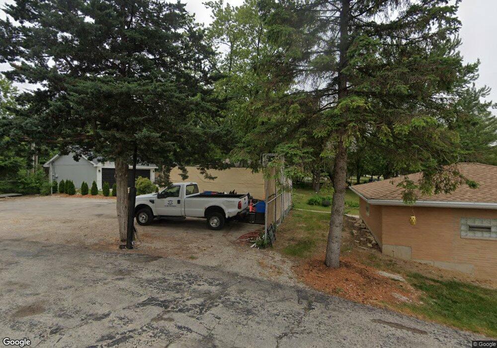
1422 Oak Ave Lemont, IL 60439
Hastings NeighborhoodEstimated Value: $335,000 - $410,034
3
Beds
1
Bath
980
Sq Ft
$378/Sq Ft
Est. Value
About This Home
This home is located at 1422 Oak Ave, Lemont, IL 60439 and is currently estimated at $370,759, approximately $378 per square foot. 1422 Oak Ave is a home located in Cook County with nearby schools including Oakwood School, River Valley School, and Old Quarry Middle School.
Ownership History
Date
Name
Owned For
Owner Type
Purchase Details
Closed on
Jan 11, 2022
Sold by
Mcguire Vincent A and Mcguire Y
Bought by
Mcguire Vincent A and Mcguire Sheila
Current Estimated Value
Purchase Details
Closed on
Oct 29, 2015
Sold by
Collins Raymond R
Bought by
Mcguire Vincent A
Home Financials for this Owner
Home Financials are based on the most recent Mortgage that was taken out on this home.
Original Mortgage
$147,893
Interest Rate
4.62%
Mortgage Type
FHA
Create a Home Valuation Report for This Property
The Home Valuation Report is an in-depth analysis detailing your home's value as well as a comparison with similar homes in the area
Home Values in the Area
Average Home Value in this Area
Purchase History
| Date | Buyer | Sale Price | Title Company |
|---|---|---|---|
| Mcguire Vincent A | -- | -- | |
| Mcguire Vincent A | $153,000 | Attorney |
Source: Public Records
Mortgage History
| Date | Status | Borrower | Loan Amount |
|---|---|---|---|
| Previous Owner | Mcguire Vincent A | $147,893 |
Source: Public Records
Tax History Compared to Growth
Tax History
| Year | Tax Paid | Tax Assessment Tax Assessment Total Assessment is a certain percentage of the fair market value that is determined by local assessors to be the total taxable value of land and additions on the property. | Land | Improvement |
|---|---|---|---|---|
| 2024 | $3,147 | $17,999 | $8,999 | $9,000 |
| 2023 | $3,227 | $22,200 | $13,200 | $9,000 |
| 2022 | $3,227 | $20,483 | $4,591 | $15,892 |
| 2021 | $3,170 | $20,482 | $4,591 | $15,891 |
| 2020 | $3,858 | $20,482 | $4,591 | $15,891 |
| 2019 | $4,267 | $23,219 | $4,591 | $18,628 |
| 2018 | $4,929 | $23,219 | $4,591 | $18,628 |
| 2017 | $4,864 | $23,219 | $4,591 | $18,628 |
| 2016 | $3,811 | $17,331 | $3,443 | $13,888 |
| 2015 | $3,878 | $17,331 | $3,443 | $13,888 |
| 2014 | $3,924 | $17,331 | $3,443 | $13,888 |
| 2013 | $711 | $19,895 | $3,443 | $16,452 |
Source: Public Records
Map
Nearby Homes
- 1297 Mccarthy Rd
- 12203 Walker Rd
- 14517 Albany Ave
- 12652 Derby Rd
- 13815 Mccarthy Rd
- 1249 Cronin Ct
- 12723 Caruso Ct
- 1216 Country Ln
- 12744 Caruso Ct
- 13733 Steeples Rd
- 1369 Notre Dame Dr
- 11716 Center Dr
- 7 Loblolly Ct
- 1156 Covington Dr
- 1078 Amber Dr
- 12624 Derry Dr
- 12655 Derry Dr
- 12659 Derry Dr
- 12644 Derry Dr Unit 34201
- 12656 Derry Dr Unit 34402
- 1414 Oak Ave
- 1430 Oak Ave
- 14243 Mccarthy Rd
- 1441 Oak Ave
- 1407 Oak Ave
- 14225 Mccarthy Rd
- 1362 Oak Ave
- 1443 Oak Ave
- 1375 Oak Ave
- 14214 Mccarthy Rd
- 14261 Mccarthy Rd
- 14251 Lacey Dr
- 14251 Unknown Dr
- 1334 Oak Ave
- 14253 Unknown Dr
- 118 Apple Ave
- 14317 Mccarthy Rd
- 1335 Oak Ave
- 14255 Lacey Dr
- 14255 Unknown Dr
