1422 Roanoak Unit 195 West Covina, CA 91791
Estimated Value: $569,000 - $603,000
2
Beds
3
Baths
1,350
Sq Ft
$433/Sq Ft
Est. Value
About This Home
This home is located at 1422 Roanoak Unit 195, West Covina, CA 91791 and is currently estimated at $584,127, approximately $432 per square foot. 1422 Roanoak Unit 195 is a home located in Los Angeles County with nearby schools including Merced Elementary School, Hollencrest Middle School, and West Covina High School.
Ownership History
Date
Name
Owned For
Owner Type
Purchase Details
Closed on
Jun 7, 2013
Sold by
Llibre Brian
Bought by
Llibre Sandra
Current Estimated Value
Home Financials for this Owner
Home Financials are based on the most recent Mortgage that was taken out on this home.
Original Mortgage
$116,000
Outstanding Balance
$82,110
Interest Rate
3.38%
Mortgage Type
New Conventional
Estimated Equity
$502,017
Purchase Details
Closed on
May 30, 2000
Sold by
Hasan Naimah
Bought by
Tapia Sandra
Home Financials for this Owner
Home Financials are based on the most recent Mortgage that was taken out on this home.
Original Mortgage
$131,575
Interest Rate
8.53%
Create a Home Valuation Report for This Property
The Home Valuation Report is an in-depth analysis detailing your home's value as well as a comparison with similar homes in the area
Home Values in the Area
Average Home Value in this Area
Purchase History
| Date | Buyer | Sale Price | Title Company |
|---|---|---|---|
| Llibre Sandra | -- | Wfg Title Insurance Company | |
| Llibre Sandra | -- | Wfg Title Insurance Company | |
| Tapia Sandra | $138,500 | South Coast Title |
Source: Public Records
Mortgage History
| Date | Status | Borrower | Loan Amount |
|---|---|---|---|
| Open | Llibre Sandra | $116,000 | |
| Closed | Llibre Sandra | $116,000 | |
| Closed | Tapia Sandra | $131,575 |
Source: Public Records
Tax History Compared to Growth
Tax History
| Year | Tax Paid | Tax Assessment Tax Assessment Total Assessment is a certain percentage of the fair market value that is determined by local assessors to be the total taxable value of land and additions on the property. | Land | Improvement |
|---|---|---|---|---|
| 2025 | $2,752 | $212,845 | $90,054 | $122,791 |
| 2024 | $2,752 | $208,673 | $88,289 | $120,384 |
| 2023 | $2,620 | $204,582 | $86,558 | $118,024 |
| 2022 | $2,636 | $200,571 | $84,861 | $115,710 |
| 2021 | $2,558 | $196,640 | $83,198 | $113,442 |
| 2019 | $2,486 | $190,809 | $80,731 | $110,078 |
| 2018 | $2,388 | $187,069 | $79,149 | $107,920 |
| 2016 | $2,168 | $179,807 | $76,077 | $103,730 |
| 2015 | $2,131 | $177,107 | $74,935 | $102,172 |
| 2014 | $2,121 | $173,639 | $73,468 | $100,171 |
Source: Public Records
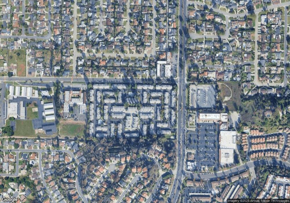
Map
Nearby Homes
- 1408 Millcreek
- 1694 Bridgeport Unit 99
- 1495 Mccabe Way
- 1516 Wimbledon Ct
- 1450 Westcastle
- 1300 S Fleetwell Ave
- 1623 E Francisquito Ave
- 1306 S Cajon Ave
- 2043 Abrazo Dr
- 1512 Seneca Dr
- 1507 Elkwood Dr Unit 61
- 17040 E Holton St
- 1910 E Calico Dr
- 1635 Park Vista Way
- 2059 E Aroma Dr
- 1408 Queen Summit Dr
- 1937 Jacaranda St
- 1515 S Westridge Rd
- 1327 S Hollencrest Dr
- 1501 S Alpine Dr
- 1407 Millcreek Unit 204
- 1432 Millcreek Unit 125
- 1406 Roanoak Unit 198
- 1416 Roanoak
- 1407 Millcreek
- 1751 Bridgeport
- 1402 Millcreek Unit 120
- 1755 Bridgeport Unit 118
- 1737 Jutewood
- 1414 Millcreek
- 1419 Millcreek
- 1413 Millcreek
- 1747 Bridgeport
- 1743 Bridgeport
- 1729 Bridgeport
- 1709 Bridgeport
- 1403 Millcreek Unit 203
- 1717 Bridgeport Unit 110
- 1717 Bridgeport
- 1721 Bridgeport Unit 111