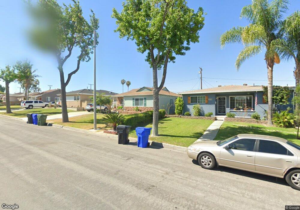
14224 Cornishcrest Rd Whittier, CA 90604
South Whittier NeighborhoodEstimated Value: $859,000 - $942,000
3
Beds
2
Baths
1,857
Sq Ft
$480/Sq Ft
Est. Value
About This Home
This home is located at 14224 Cornishcrest Rd, Whittier, CA 90604 and is currently estimated at $892,264, approximately $480 per square foot. 14224 Cornishcrest Rd is a home located in Los Angeles County with nearby schools including Ceres Elementary School, Granada Middle School, and California High School.
Ownership History
Date
Name
Owned For
Owner Type
Purchase Details
Closed on
May 4, 2001
Sold by
Sanchez Alvaro and Sanchez Patricia
Bought by
Rangel David W
Current Estimated Value
Home Financials for this Owner
Home Financials are based on the most recent Mortgage that was taken out on this home.
Original Mortgage
$185,600
Outstanding Balance
$69,918
Interest Rate
7.15%
Estimated Equity
$822,346
Create a Home Valuation Report for This Property
The Home Valuation Report is an in-depth analysis detailing your home's value as well as a comparison with similar homes in the area
Home Values in the Area
Average Home Value in this Area
Purchase History
| Date | Buyer | Sale Price | Title Company |
|---|---|---|---|
| Rangel David W | $232,000 | Southland Title |
Source: Public Records
Mortgage History
| Date | Status | Borrower | Loan Amount |
|---|---|---|---|
| Open | Rangel David W | $185,600 |
Source: Public Records
Tax History
| Year | Tax Paid | Tax Assessment Tax Assessment Total Assessment is a certain percentage of the fair market value that is determined by local assessors to be the total taxable value of land and additions on the property. | Land | Improvement |
|---|---|---|---|---|
| 2025 | $5,208 | $419,590 | $194,521 | $225,069 |
| 2024 | $5,208 | $411,363 | $190,707 | $220,656 |
| 2023 | $5,120 | $403,298 | $186,968 | $216,330 |
| 2022 | $5,010 | $395,391 | $183,302 | $212,089 |
| 2021 | $4,908 | $387,639 | $179,708 | $207,931 |
| 2019 | $4,811 | $376,143 | $174,379 | $201,764 |
| 2018 | $4,645 | $368,768 | $170,960 | $197,808 |
| 2016 | $3,914 | $312,047 | $164,322 | $147,725 |
| 2015 | $3,889 | $307,361 | $161,854 | $145,507 |
| 2014 | $3,652 | $285,164 | $158,684 | $126,480 |
Source: Public Records
Map
Nearby Homes
- 10936 Theis Ave
- 10903 Theis Ave
- 0 Telegraph Rd Unit DW24244539
- 10745 Victoria Ave Unit 4
- 10745 Victoria Ave Unit 6
- 14308 Broadway
- 14315 Broadway Unit 210
- 14255 Broadway
- 13924 Anola St
- 10912 Newgate Ave
- 13838 Cornishcrest Rd
- 14021 Fernview St
- 13751 Bentongrove Dr
- 14744 Terryknoll Dr
- 14723 Terryknoll Dr
- 11502 Double Eagle Dr
- 10044 Ben Hur Ave
- 10035 Ben Hur Ave
- 11827 Loma Dr Unit 15
- 9931 Rufus Ave
- 14230 Cornishcrest Rd
- 14218 Cornishcrest Rd
- 14236 Cornishcrest Rd
- 14214 Cornishcrest Rd
- 14223 Allegan St
- 14227 Allegan St
- 14217 Allegan St
- 14233 Allegan St
- 10662 Homage Ave
- 10663 Homage Ave
- 14240 Cornishcrest Rd
- 14208 Cornishcrest Rd
- 14213 Allegan St
- 14237 Allegan St
- 10656 Homage Ave
- 10657 Homage Ave
- 14243 Allegan St
- 10734 Ceres Ave
- 14202 Cornishcrest Rd
- 14246 Cornishcrest Rd
Your Personal Tour Guide
Ask me questions while you tour the home.