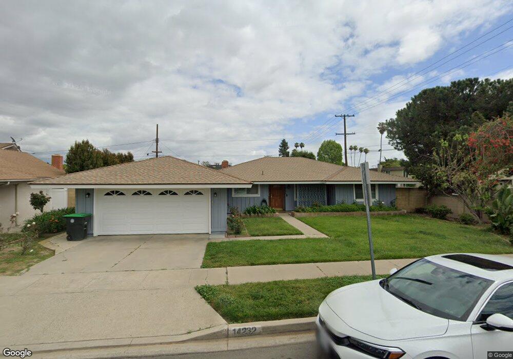
14232 Quent Dr Tustin, CA 92780
Estimated Value: $712,000 - $1,189,000
4
Beds
2
Baths
1,594
Sq Ft
$584/Sq Ft
Est. Value
About This Home
This home is located at 14232 Quent Dr, Tustin, CA 92780 and is currently estimated at $931,257, approximately $584 per square foot. 14232 Quent Dr is a home located in Orange County with nearby schools including W. R. Nelson Elementary School, C. E. Utt Middle School, and Tustin High School.
Ownership History
Date
Name
Owned For
Owner Type
Purchase Details
Closed on
Aug 23, 2001
Sold by
Ouk Eng Tran
Bought by
Weidner Eng Tran and Eng Tran Weidner Trust
Current Estimated Value
Purchase Details
Closed on
Nov 10, 1998
Sold by
Tran Ouk Eng
Bought by
Ouk Eng Tran
Home Financials for this Owner
Home Financials are based on the most recent Mortgage that was taken out on this home.
Original Mortgage
$163,000
Interest Rate
6.54%
Create a Home Valuation Report for This Property
The Home Valuation Report is an in-depth analysis detailing your home's value as well as a comparison with similar homes in the area
Home Values in the Area
Average Home Value in this Area
Purchase History
| Date | Buyer | Sale Price | Title Company |
|---|---|---|---|
| Weidner Eng Tran | -- | -- | |
| Ouk Eng Tran | -- | Chicago Title Co |
Source: Public Records
Mortgage History
| Date | Status | Borrower | Loan Amount |
|---|---|---|---|
| Previous Owner | Ouk Eng Tran | $163,000 |
Source: Public Records
Tax History Compared to Growth
Tax History
| Year | Tax Paid | Tax Assessment Tax Assessment Total Assessment is a certain percentage of the fair market value that is determined by local assessors to be the total taxable value of land and additions on the property. | Land | Improvement |
|---|---|---|---|---|
| 2025 | $3,409 | $283,190 | $159,447 | $123,743 |
| 2024 | $3,409 | $277,638 | $156,321 | $121,317 |
| 2023 | $3,316 | $272,195 | $153,256 | $118,939 |
| 2022 | $3,256 | $266,858 | $150,251 | $116,607 |
| 2021 | $3,192 | $261,626 | $147,305 | $114,321 |
| 2020 | $3,174 | $258,944 | $145,795 | $113,149 |
| 2019 | $3,101 | $253,867 | $142,936 | $110,931 |
| 2018 | $3,052 | $248,890 | $140,134 | $108,756 |
| 2017 | $2,999 | $244,010 | $137,386 | $106,624 |
| 2016 | $2,947 | $239,226 | $134,692 | $104,534 |
| 2015 | $3,028 | $235,633 | $132,669 | $102,964 |
| 2014 | $2,953 | $231,018 | $130,070 | $100,948 |
Source: Public Records
Map
Nearby Homes
- 1582 Mitchell Ave
- 1722 Mitchell Ave Unit 123
- 1626 Birchfield Dr
- 14331 Heatherfield Dr
- 1881 Mitchell Ave Unit 63
- 1962 Ren Cir
- 1192 Mitchell Ave Unit 70
- 1192 Mitchell Ave Unit 3
- 1192 Mitchell Ave Unit 7
- 1425 Sycamore Ave
- 111 Madrid
- 123 Madrid St
- 1076 Mitchell Ave
- 84 Seville St
- 1370 San Juan St
- 157 Balsawood
- 2081 Nantucket Place
- 153 Balsawood
- 14801 Braeburn Rd
- Plan 1643 Modeled at Stafford Glen
- 14222 Quent Dr
- 14231 Rosalie Place
- 14221 Rosalie Place
- 1562 Mitchell Ave
- 14231 Quent Dr
- 1536 Mitchell Ave
- 1534 Mitchell Ave
- 1564 Mitchell Ave
- 14212 Quent Dr
- 1532 Mitchell Ave
- 14221 Quent Dr
- 1572 Mitchell Ave
- 1566 Mitchell Ave
- 1574 Mitchell Ave
- 1512 Mitchell Ave
- 1576 Mitchell Ave
- 1568 Mitchell Ave
- 14191 Rosalie Place
- 1514 Mitchell Ave
- 14192 Quent Dr