14233 Custar Rd Weston, OH 43569
Estimated Value: $262,959 - $302,000
3
Beds
3
Baths
2,400
Sq Ft
$118/Sq Ft
Est. Value
About This Home
This home is located at 14233 Custar Rd, Weston, OH 43569 and is currently estimated at $283,240, approximately $118 per square foot. 14233 Custar Rd is a home located in Wood County with nearby schools including Otsego Elementary School, Otsego Junior High School, and Otsego High School.
Ownership History
Date
Name
Owned For
Owner Type
Purchase Details
Closed on
Aug 19, 1999
Sold by
Stough Jeffery B
Bought by
Stough Jeffery B and Stough Crystal M
Current Estimated Value
Home Financials for this Owner
Home Financials are based on the most recent Mortgage that was taken out on this home.
Original Mortgage
$110,400
Outstanding Balance
$31,626
Interest Rate
7.61%
Mortgage Type
Land Contract Argmt. Of Sale
Estimated Equity
$251,614
Purchase Details
Closed on
Sep 15, 1983
Bought by
Stough Jeffery B
Create a Home Valuation Report for This Property
The Home Valuation Report is an in-depth analysis detailing your home's value as well as a comparison with similar homes in the area
Home Values in the Area
Average Home Value in this Area
Purchase History
| Date | Buyer | Sale Price | Title Company |
|---|---|---|---|
| Stough Jeffery B | -- | Midland Title | |
| Stough Jeffery B | $40,600 | -- |
Source: Public Records
Mortgage History
| Date | Status | Borrower | Loan Amount |
|---|---|---|---|
| Open | Stough Jeffery B | $110,400 |
Source: Public Records
Tax History Compared to Growth
Tax History
| Year | Tax Paid | Tax Assessment Tax Assessment Total Assessment is a certain percentage of the fair market value that is determined by local assessors to be the total taxable value of land and additions on the property. | Land | Improvement |
|---|---|---|---|---|
| 2024 | $3,018 | $75,425 | $10,080 | $65,345 |
| 2023 | $3,018 | $75,430 | $10,080 | $65,350 |
| 2021 | $2,629 | $60,130 | $8,400 | $51,730 |
| 2020 | $2,644 | $60,130 | $8,400 | $51,730 |
| 2019 | $2,413 | $53,100 | $8,400 | $44,700 |
| 2018 | $2,339 | $53,100 | $8,400 | $44,700 |
| 2017 | $2,283 | $53,100 | $8,400 | $44,700 |
| 2016 | $2,161 | $51,310 | $7,910 | $43,400 |
| 2015 | $2,161 | $51,310 | $7,910 | $43,400 |
| 2014 | $2,253 | $51,310 | $7,910 | $43,400 |
| 2013 | $2,193 | $45,570 | $7,910 | $37,660 |
Source: Public Records
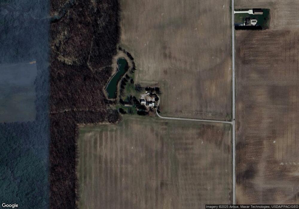
Map
Nearby Homes
- 22327 U S 6
- 22888 Wintergreen Rd
- 20553 Euler Rd
- 13460 Ash St
- 20750 Sycamore St
- 20391 Brown Ln
- 20310 Taylor St
- 20210 Oak St
- 0 Otsego Pike Unit 6136991
- 23580 4th St
- 24432 W 3rd St
- 23912 E 2nd St
- 23763 Front St
- 19393 U S 6
- 0 Manore Lot A Rd Unit 6130402
- 0 Manore Lot B Rd Unit 6130403
- 15722 Range Line Rd
- 335 E North St
- 325 E North St
- 12200 S River Rd
- 14398 Custar Rd
- 14480 Custar Rd
- 13951 Custar Rd
- 22860 Euler Rd
- 23520 Euler Rd
- 14641 Custar Rd
- 14736 Custar Rd
- 23565 Euler Rd
- 23722 Euler Rd
- 13719 Junkins Rd
- 23737 Euler Rd
- 23781 Euler Rd
- 14274 Wapakoneta Rd
- 14867 Custar Rd
- 14735 Custar Rd Unit 867
- 23230 Junkins Rd
- 23256 Junkins Rd
- 23454 Junkins Rd
- 22861 U S 6
- 14170 Wapakoneta Rd