Estimated Value: $130,000 - $214,000
3
Beds
2
Baths
1,488
Sq Ft
$118/Sq Ft
Est. Value
About This Home
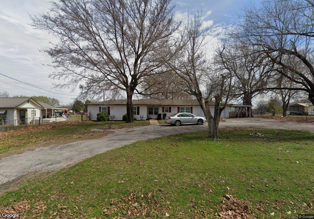
This home is located at 14236 County Road 3500, Ada, OK 74820 and is currently estimated at $175,667, approximately $118 per square foot. 14236 County Road 3500 is a home located in Pontotoc County with nearby schools including Vanoss Elementary School and Vanoss High School.
Ownership History
Date
Name
Owned For
Owner Type
Purchase Details
Closed on
May 12, 2021
Sold by
Brundidge Nathan P and Brundidge Kasey L
Bought by
Spatz William H
Current Estimated Value
Home Financials for this Owner
Home Financials are based on the most recent Mortgage that was taken out on this home.
Original Mortgage
$79,852
Outstanding Balance
$72,212
Interest Rate
3.1%
Mortgage Type
VA
Estimated Equity
$103,455
Purchase Details
Closed on
May 14, 2014
Sold by
Harrel Almeda K
Bought by
Brundidge Nathan P and Brundidge Ka
Purchase Details
Closed on
Sep 10, 1987
Bought by
Walter Burton
Purchase Details
Closed on
May 1, 1985
Create a Home Valuation Report for This Property
The Home Valuation Report is an in-depth analysis detailing your home's value as well as a comparison with similar homes in the area
Home Values in the Area
Average Home Value in this Area
Purchase History
| Date | Buyer | Sale Price | Title Company |
|---|---|---|---|
| Spatz William H | $87,500 | Home Title | |
| Spatz William H | $87,500 | None Listed On Document | |
| Brundidge Nathan P | $49,000 | -- | |
| Walter Burton | $22,500 | -- | |
| -- | $35,000 | -- |
Source: Public Records
Mortgage History
| Date | Status | Borrower | Loan Amount |
|---|---|---|---|
| Open | Spatz William H | $79,852 | |
| Closed | Spatz William H | $79,852 |
Source: Public Records
Tax History Compared to Growth
Tax History
| Year | Tax Paid | Tax Assessment Tax Assessment Total Assessment is a certain percentage of the fair market value that is determined by local assessors to be the total taxable value of land and additions on the property. | Land | Improvement |
|---|---|---|---|---|
| 2025 | $869 | $10,440 | $1,438 | $9,002 |
| 2024 | $869 | $10,440 | $1,375 | $9,065 |
| 2023 | $880 | $10,440 | $1,800 | $8,640 |
| 2022 | $971 | $10,440 | $1,800 | $8,640 |
| 2021 | $715 | $7,839 | $1,800 | $6,039 |
| 2020 | $700 | $7,466 | $1,800 | $5,666 |
| 2019 | $673 | $7,111 | $1,800 | $5,311 |
| 2018 | $616 | $6,772 | $1,800 | $4,972 |
| 2017 | $601 | $6,449 | $1,800 | $4,649 |
| 2016 | $573 | $6,142 | $1,800 | $4,342 |
| 2015 | $504 | $5,850 | $1,800 | $4,050 |
| 2014 | $240 | $2,700 | $300 | $2,400 |
Source: Public Records
Map
Nearby Homes
- 9865 County Road 1545
- 10875 County Road 1500
- 10815 Oklahoma 19
- 10815 State Hwy 19
- 9185 County Road 1540
- 14400 County Road 3490
- 001 Highway 19
- 8430 County Road 1540
- 15330 County Road 3480
- 15338 County Road 3480
- 12098 County Road 3513 Loop
- 000 County Road 3480
- 9692 County Road 3570
- 13081 County Road 1538
- 11395 County Road 1518
- 15505 County Road 3580
- 13003 County Road 1556
- 12636 N County Road 3470
- 12991 County Road 1560
- 13003 County Road 1560
- 14236 County Road 3500
- 14150 County Road 3500
- 14145 Cr 3500
- 14145 County Road 3500
- 14119 County Road 3500
- 14095 County Road 3500
- 10080 County Road 1542
- 14080 County Road 3500
- 14235 County Road 3500
- 14321 County Road 3500
- 9951 County Road 1542
- 10095 County Road 1542
- 18795 County Road 1542
- 14253 County Road 3500
- 14045 County Road 3500
- 14165 County Road 3501
- 14270 County Road 3500
- 14050 County Road 3500
- 9910 County Road 1542
- 14133 County Road 3501