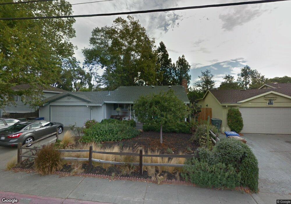
1424 Detroit Ave Concord, CA 94520
Islandis NeighborhoodEstimated Value: $656,210 - $689,000
3
Beds
2
Baths
1,188
Sq Ft
$565/Sq Ft
Est. Value
About This Home
This home is located at 1424 Detroit Ave, Concord, CA 94520 and is currently estimated at $671,053, approximately $564 per square foot. 1424 Detroit Ave is a home located in Contra Costa County with nearby schools including Meadow Homes Elementary School, Oak Grove Middle School, and Mt. Diablo High School.
Ownership History
Date
Name
Owned For
Owner Type
Purchase Details
Closed on
Jul 19, 2000
Sold by
Berkowitz Jerry Samuel
Bought by
Newbegin Edward and Newbegin Jan
Current Estimated Value
Home Financials for this Owner
Home Financials are based on the most recent Mortgage that was taken out on this home.
Original Mortgage
$213,242
Outstanding Balance
$77,062
Interest Rate
8.37%
Mortgage Type
Purchase Money Mortgage
Estimated Equity
$593,991
Purchase Details
Closed on
Sep 1, 1988
Sold by
Berkowitz Mary E
Bought by
Berkowitz Mary E and Berkowitz Jerry Samuel
Create a Home Valuation Report for This Property
The Home Valuation Report is an in-depth analysis detailing your home's value as well as a comparison with similar homes in the area
Home Values in the Area
Average Home Value in this Area
Purchase History
| Date | Buyer | Sale Price | Title Company |
|---|---|---|---|
| Newbegin Edward | $215,000 | Commonwealth Land Title Co | |
| Berkowitz Mary E | -- | -- |
Source: Public Records
Mortgage History
| Date | Status | Borrower | Loan Amount |
|---|---|---|---|
| Open | Newbegin Edward | $213,242 | |
| Closed | Newbegin Edward | $12,900 |
Source: Public Records
Tax History Compared to Growth
Tax History
| Year | Tax Paid | Tax Assessment Tax Assessment Total Assessment is a certain percentage of the fair market value that is determined by local assessors to be the total taxable value of land and additions on the property. | Land | Improvement |
|---|---|---|---|---|
| 2025 | $4,382 | $323,948 | $150,673 | $173,275 |
| 2024 | $4,284 | $317,597 | $147,719 | $169,878 |
| 2023 | $4,284 | $311,371 | $144,823 | $166,548 |
| 2022 | $4,211 | $305,267 | $141,984 | $163,283 |
| 2021 | $4,094 | $299,282 | $139,200 | $160,082 |
| 2019 | $4,005 | $290,407 | $135,072 | $155,335 |
| 2018 | $3,845 | $284,714 | $132,424 | $152,290 |
| 2017 | $3,706 | $279,132 | $129,828 | $149,304 |
| 2016 | $3,585 | $273,660 | $127,283 | $146,377 |
| 2015 | $3,524 | $269,551 | $125,372 | $144,179 |
| 2014 | $3,444 | $264,272 | $122,917 | $141,355 |
Source: Public Records
Map
Nearby Homes
- 1439 Toyon Dr
- 2000 Laguna Cir Unit D
- 2100 Laguna Cir Unit D
- 1600 Laguna St Unit C
- 1520 Detroit Ave
- 1731 Ellis St Unit 16
- 1261 Pine Creek Way Unit B
- 2525 Walters Way Unit 19
- 2525 Walters Way Unit 22
- 2450 Walters Way Unit 2
- 2450 Walters Way Unit 11
- 2398 Walters Way Unit 6
- 1140 Detroit Ave Unit 14
- 2722 Cowell Rd
- 1385 Galindo St
- 1865 Premier Place
- 1133 Meadow Ln Unit 56
- 1133 Meadow Ln Unit 103
- 1133 Meadow Ln Unit 53
- 1351 Cypress Dr
- 1418 Detroit Ave
- 1430 Detroit Ave
- 1412 Detroit Ave
- 1427 Toyon Dr
- 1431 Detroit Ave
- 1433 Toyon Dr
- 1421 Toyon Dr
- 1406 Detroit Ave
- 1440 Detroit Ave Unit 1
- 1421 Bloomfield Ln
- 1415 Toyon Dr
- 1675 Bloomfield Ln
- 1429 Detroit Ave
- 1409 Toyon Dr
- 1400 Detroit Ave
- 1445 Toyon Dr
- 1460 Detroit Ave Unit F
- 1460 Detroit Ave Unit E
- 1460 Detroit Ave Unit D
- 1460 Detroit Ave Unit C