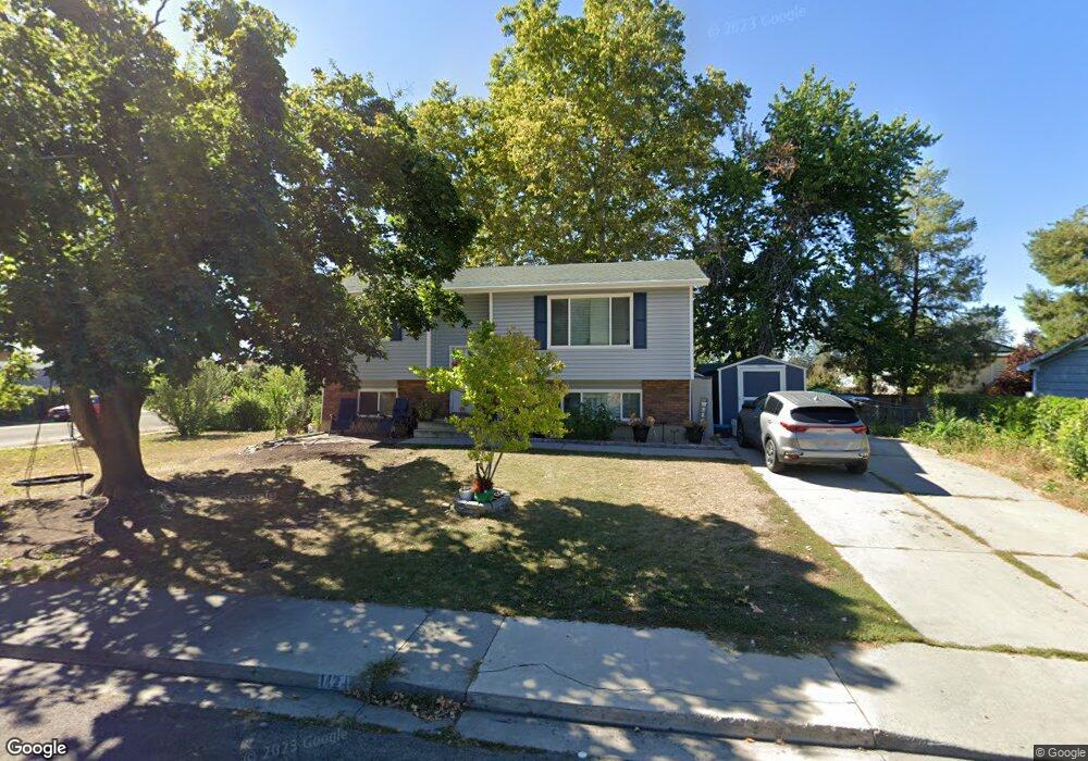
1424 S 680 W Provo, UT 84601
Franklin NeighborhoodEstimated Value: $439,000 - $451,587
4
Beds
2
Baths
1,014
Sq Ft
$440/Sq Ft
Est. Value
About This Home
This home is located at 1424 S 680 W, Provo, UT 84601 and is currently estimated at $445,862, approximately $439 per square foot. 1424 S 680 W is a home located in Utah County with nearby schools including Sunset View Elementary School, Dixon Middle School, and Provo High School.
Create a Home Valuation Report for This Property
The Home Valuation Report is an in-depth analysis detailing your home's value as well as a comparison with similar homes in the area
Home Values in the Area
Average Home Value in this Area
Tax History
| Year | Tax Paid | Tax Assessment Tax Assessment Total Assessment is a certain percentage of the fair market value that is determined by local assessors to be the total taxable value of land and additions on the property. | Land | Improvement |
|---|---|---|---|---|
| 2025 | $2,225 | $228,305 | -- | -- |
| 2024 | $2,225 | $219,065 | $0 | $0 |
| 2023 | $2,172 | $210,815 | $0 | $0 |
| 2022 | $2,266 | $221,705 | $0 | $0 |
| 2021 | $1,748 | $298,300 | $94,600 | $203,700 |
| 2020 | $1,695 | $271,200 | $86,000 | $185,200 |
| 2019 | $1,557 | $259,100 | $86,000 | $173,100 |
| 2018 | $1,359 | $229,300 | $78,800 | $150,500 |
| 2017 | $1,186 | $109,945 | $0 | $0 |
| 2016 | $1,157 | $99,990 | $0 | $0 |
| 2015 | $1,021 | $89,210 | $0 | $0 |
| 2014 | $870 | $79,200 | $0 | $0 |
Source: Public Records
Map
Nearby Homes
- 655 W 1280 S
- 641 W 1280 S
- 593 W 1220 S
- 1163 S 680 W
- 588 W 1720 S
- 1094 S 450 W
- 1799 S 730 W
- 1095 S 500 W Unit 11
- 1864 S 730 W Unit 1009
- 311 W 1610 S
- 914 W 1150 S Unit 2
- 991 S 500 W
- 239 S Meadow Dr Unit 10
- 151 S Meadow Dr
- 131 S Meadow Dr Unit 20
- 151 S Meadow Dr Unit 19
- 784 W Heather Ln
- 340 W 920 S Unit 16
- 747 S 500 W
- 939 S Freedom Blvd Unit 11
Your Personal Tour Guide
Ask me questions while you tour the home.