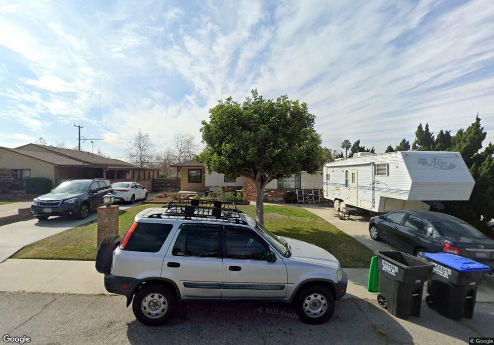
14242 Trumball St Whittier, CA 90604
South Whittier NeighborhoodEstimated Value: $914,000 - $1,010,000
3
Beds
3
Baths
2,389
Sq Ft
$399/Sq Ft
Est. Value
About This Home
This home is located at 14242 Trumball St, Whittier, CA 90604 and is currently estimated at $952,617, approximately $398 per square foot. 14242 Trumball St is a home located in Los Angeles County with nearby schools including Ceres Elementary School, Granada Middle School, and California High School.
Ownership History
Date
Name
Owned For
Owner Type
Purchase Details
Closed on
Apr 11, 2012
Sold by
Vanryte James A and Vanryte Van Ryte
Bought by
Vanryte James A and Van Ryte Gayle
Current Estimated Value
Home Financials for this Owner
Home Financials are based on the most recent Mortgage that was taken out on this home.
Original Mortgage
$226,500
Interest Rate
3.9%
Mortgage Type
New Conventional
Purchase Details
Closed on
Sep 14, 2004
Sold by
Vanryte James Adrian and Vanryte Gayle Lyn
Bought by
Vanryte James A
Create a Home Valuation Report for This Property
The Home Valuation Report is an in-depth analysis detailing your home's value as well as a comparison with similar homes in the area
Home Values in the Area
Average Home Value in this Area
Purchase History
| Date | Buyer | Sale Price | Title Company |
|---|---|---|---|
| Vanryte James A | -- | Accommodation | |
| Vanryte James A | -- | Fidelity | |
| Vanryte James A | -- | Chicago Title Company |
Source: Public Records
Mortgage History
| Date | Status | Borrower | Loan Amount |
|---|---|---|---|
| Closed | Vanryte James A | $226,500 |
Source: Public Records
Tax History Compared to Growth
Tax History
| Year | Tax Paid | Tax Assessment Tax Assessment Total Assessment is a certain percentage of the fair market value that is determined by local assessors to be the total taxable value of land and additions on the property. | Land | Improvement |
|---|---|---|---|---|
| 2025 | $3,584 | $262,018 | $70,432 | $191,586 |
| 2024 | $3,584 | $256,881 | $69,051 | $187,830 |
| 2023 | $3,527 | $251,846 | $67,698 | $184,148 |
| 2022 | $3,454 | $246,909 | $66,371 | $180,538 |
| 2021 | $3,379 | $242,069 | $65,070 | $176,999 |
| 2019 | $3,313 | $234,891 | $63,141 | $171,750 |
| 2018 | $3,060 | $230,286 | $61,903 | $168,383 |
| 2016 | $2,878 | $221,346 | $59,500 | $161,846 |
| 2015 | $2,858 | $218,022 | $58,607 | $159,415 |
| 2014 | $2,826 | $213,752 | $57,459 | $156,293 |
Source: Public Records
Map
Nearby Homes
- 10955 Parise Dr
- 11026 Theis Ave
- 0 Telegraph Rd Unit DW24244539
- 11118 Bunker Ln
- 11102 Eagle Ln
- 11525 Sunnybrook Ln
- 11531 Sunnybrook Ln
- 14076 Cornishcrest Rd
- 11624 Starlight Ave
- 10745 Victoria Ave Unit 4
- 10745 Victoria Ave Unit 6
- 10745 Victoria Ave
- 11111 Colima Rd
- 11813 Colima Rd
- 14034 Coteau Dr Unit 1103
- 11522 Double Eagle Dr
- 11502 Double Eagle Dr
- 14520 Mulberry Dr
- 10241 Ruoff Ave
- 10855 Colima Rd
- 14250 Trumball St
- 14236 Trumball St
- 14230 Trumball St
- 14258 Trumball St
- 14245 Trumball St
- 14251 Trumball St
- 14239 Trumball St
- 14163 Bentongrove Dr
- 14224 Trumball St
- 14262 Trumball St
- 14257 Trumball St
- 14231 Trumball St
- 14159 Bentongrove Dr
- 14218 Trumball St
- 14225 Trumball St
- 14261 Trumball St
- 14268 Trumball St
- 14153 Bentongrove Dr
- 14221 Trumball St
- 14212 Trumball St