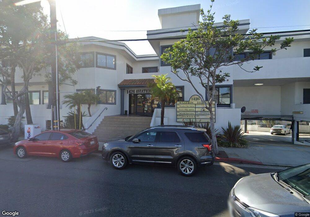
1426 Aviation Blvd Redondo Beach, CA 90278
North Redondo Beach NeighborhoodEstimated Value: $6,110,229
--
Bed
--
Bath
13,708
Sq Ft
$446/Sq Ft
Est. Value
About This Home
This home is located at 1426 Aviation Blvd, Redondo Beach, CA 90278 and is currently estimated at $6,110,229, approximately $445 per square foot. 1426 Aviation Blvd is a home located in Los Angeles County with nearby schools including Birney Elementary School, Adams Middle School, and Redondo Union High School.
Ownership History
Date
Name
Owned For
Owner Type
Purchase Details
Closed on
Nov 14, 2014
Sold by
Khalil Charles R and Khalil Charles R
Bought by
Khalil Charles R and Khalil Charles R
Current Estimated Value
Purchase Details
Closed on
Nov 7, 2002
Sold by
Khalil Charles R and Khalil Kaaren R
Bought by
Khalil Charles R and Khalil Charles R
Purchase Details
Closed on
Jan 30, 2002
Sold by
Aviation Blvd Partnership
Bought by
Khalil Charles R and Khalil Kaaren R
Home Financials for this Owner
Home Financials are based on the most recent Mortgage that was taken out on this home.
Original Mortgage
$1,170,000
Interest Rate
6.94%
Mortgage Type
Commercial
Create a Home Valuation Report for This Property
The Home Valuation Report is an in-depth analysis detailing your home's value as well as a comparison with similar homes in the area
Home Values in the Area
Average Home Value in this Area
Purchase History
| Date | Buyer | Sale Price | Title Company |
|---|---|---|---|
| Khalil Charles R | -- | First American Title Ins Co | |
| Khalil Charles R | -- | -- | |
| Khalil Charles R | $1,700,000 | Lawyers Title |
Source: Public Records
Mortgage History
| Date | Status | Borrower | Loan Amount |
|---|---|---|---|
| Closed | Khalil Charles R | $1,170,000 |
Source: Public Records
Tax History Compared to Growth
Tax History
| Year | Tax Paid | Tax Assessment Tax Assessment Total Assessment is a certain percentage of the fair market value that is determined by local assessors to be the total taxable value of land and additions on the property. | Land | Improvement |
|---|---|---|---|---|
| 2025 | $31,247 | $2,475,297 | $1,738,002 | $737,295 |
| 2024 | $31,247 | $2,426,763 | $1,703,924 | $722,839 |
| 2023 | $30,771 | $2,379,180 | $1,670,514 | $708,666 |
| 2022 | $30,461 | $2,332,530 | $1,637,759 | $694,771 |
| 2021 | $28,235 | $2,286,796 | $1,605,647 | $681,149 |
| 2019 | $29,067 | $2,218,971 | $1,558,024 | $660,947 |
| 2018 | $26,852 | $2,175,463 | $1,527,475 | $647,988 |
| 2016 | $27,229 | $2,090,989 | $1,468,162 | $622,827 |
| 2015 | $26,647 | $2,059,581 | $1,446,109 | $613,472 |
| 2014 | $26,244 | $2,019,237 | $1,417,782 | $601,455 |
Source: Public Records
Map
Nearby Homes
- 1303 Harkness Ln
- 1536 Wollacott St
- 1513 Carver St
- 1812 Clark Ln Unit A
- 1114 Goodman Ave
- 1209 Stanford Ave
- 1141 Stanford Ave
- 1108 Stanford Ave
- 1814 Pullman Ln
- 1717 Axenty Way
- 1306 Carmelita Ave
- 1504 Prospect Ave
- 1620 Harper Ave
- 1816 Speyer Ln
- 1137 9th St
- 1900 Vanderbilt Ln
- 1742 Reed St
- 1903 Morgan Ln Unit B
- 1752 Dixon St
- 1430 Bonnie Brae St
- 1426 Aviation Blvd Unit 104
- 1426 Aviation Blvd Unit 103-B
- 1426 Aviation Blvd Unit 201
- 1711 Harriman Ln
- 1416 Aviation Blvd Unit 1727
- 1416 Aviation Blvd
- 1436 Aviation Blvd
- 1713 Harriman Ln
- 1702 Harriman Ln
- 1441 Aviation Blvd
- 1700 Harriman Ln
- 1706 Harriman Ln Unit A
- 1715 Harriman Ln Unit B
- 1715 Harriman Ln Unit A
- 1708 Harriman Ln Unit B
- 1708 Harriman Ln Unit A
- 1704 Harriman Ln Unit B
- 1704 Harriman Ln Unit A
- 1214 Ford Ave
- 1710 Harriman Ln Unit B