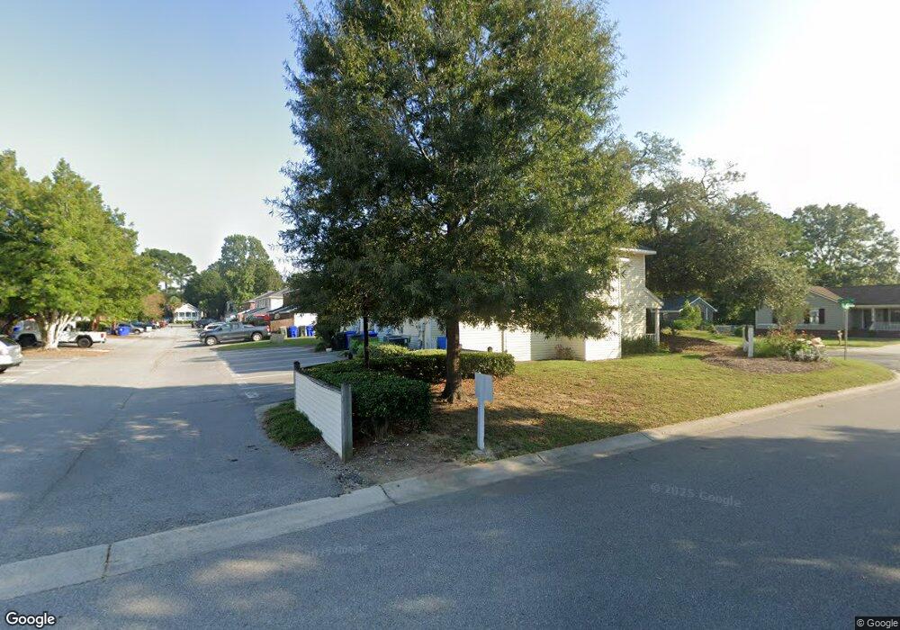
1426 Camp Rd Unit D Charleston, SC 29412
James Island NeighborhoodEstimated Value: $256,000 - $277,000
2
Beds
2
Baths
1,050
Sq Ft
$256/Sq Ft
Est. Value
About This Home
This home is located at 1426 Camp Rd Unit D, Charleston, SC 29412 and is currently estimated at $268,638, approximately $255 per square foot. 1426 Camp Rd Unit D is a home located in Charleston County with nearby schools including Harbor View Elementary School, Camp Road Middle, and James Island Charter High School.
Ownership History
Date
Name
Owned For
Owner Type
Purchase Details
Closed on
Jan 5, 2016
Sold by
Saylor Alicia J and Branham Alicia
Bought by
Camp Road Rental Management Llc
Current Estimated Value
Home Financials for this Owner
Home Financials are based on the most recent Mortgage that was taken out on this home.
Original Mortgage
$96,800
Interest Rate
4.16%
Mortgage Type
New Conventional
Purchase Details
Closed on
Apr 14, 2005
Sold by
Smith Michael M
Bought by
Johnston John P and Johnston Kathleen
Purchase Details
Closed on
Mar 25, 2005
Sold by
Smith Michael M
Bought by
Saylor Alicia J
Purchase Details
Closed on
Jan 5, 2005
Sold by
Blanton Street Investments Llc
Bought by
Smith Michael M
Create a Home Valuation Report for This Property
The Home Valuation Report is an in-depth analysis detailing your home's value as well as a comparison with similar homes in the area
Home Values in the Area
Average Home Value in this Area
Purchase History
| Date | Buyer | Sale Price | Title Company |
|---|---|---|---|
| Camp Road Rental Management Llc | $121,000 | None Available | |
| Johnston John P | $125,000 | -- | |
| Saylor Alicia J | $125,000 | -- | |
| Smith Michael M | $475,000 | -- |
Source: Public Records
Mortgage History
| Date | Status | Borrower | Loan Amount |
|---|---|---|---|
| Previous Owner | Camp Road Rental Management Llc | $96,800 |
Source: Public Records
Tax History Compared to Growth
Tax History
| Year | Tax Paid | Tax Assessment Tax Assessment Total Assessment is a certain percentage of the fair market value that is determined by local assessors to be the total taxable value of land and additions on the property. | Land | Improvement |
|---|---|---|---|---|
| 2024 | $2,447 | $8,100 | $0 | $0 |
| 2023 | $2,447 | $8,100 | $0 | $0 |
| 2022 | $2,238 | $8,100 | $0 | $0 |
| 2021 | $2,211 | $8,100 | $0 | $0 |
| 2020 | $2,196 | $8,100 | $0 | $0 |
| 2019 | $2,071 | $7,260 | $0 | $0 |
| 2017 | $1,561 | $5,640 | $0 | $0 |
| 2016 | $1,513 | $5,640 | $0 | $0 |
| 2015 | $1,448 | $5,640 | $0 | $0 |
| 2014 | $1,287 | $0 | $0 | $0 |
| 2011 | -- | $0 | $0 | $0 |
Source: Public Records
Map
Nearby Homes
- 1453 Camp Rd
- 1 S Anderson Ave
- 1418 Kentwood Cir
- 17 S Anderson Ave Unit A,B,C, D
- 1402 Camp Rd Unit 5E
- 1402 Camp Rd Unit 6E
- 1402 Camp Rd Unit 1H
- 1402 Camp Rd Unit 8B
- 1402 Camp Rd Unit 9C
- 1402 Camp Rd Unit 12F
- 1014 Arborwood Dr
- 1 Maplecrest Dr
- 14 Maplecrest Dr
- 9 Maplecrest Dr
- 1 Willingham Ct
- 27 Brockman Dr Unit 27B
- 27 Brockman Dr Unit 27C
- 1030 Pauline Ave
- 1359 White House Blvd
- 50 Held Cir Unit C
- 1426 Camp Rd
- 1426 Camp Rd Unit C
- 1426 Camp Rd Unit B
- 1426 Camp Rd Unit A
- 1426 Camp Rd Unit 23
- 1422 Camp Rd Unit A
- 1422 Camp Rd Unit A
- 1422 Camp Rd Unit A
- 1422 Camp Rd Unit A
- 1422 Camp Rd Unit D
- 1422 Camp Rd Unit B
- 1422 Camp Rd Unit C
- 1422 Camp Rd
- 1401 Dove Run Dr Unit A
- 1401 Dove Run Dr Unit B
- 1422 Dove Run Dr Unit C
- 1425 Dove Run Dr Unit D
- 1425 Dove Run Dr Unit C
- 1425 Dove Run Dr Unit B
- 1425 Dove Run Dr Unit 17