14265 N Farley Rd Platte City, MO 64079
Estimated Value: $454,000 - $542,799
2
Beds
2
Baths
6,432
Sq Ft
$75/Sq Ft
Est. Value
About This Home
This home is located at 14265 N Farley Rd, Platte City, MO 64079 and is currently estimated at $483,933, approximately $75 per square foot. 14265 N Farley Rd is a home located in Platte County with nearby schools including Central Elementary School and West Platte High School.
Ownership History
Date
Name
Owned For
Owner Type
Purchase Details
Closed on
Jun 17, 2022
Sold by
Swaney Family Trust
Bought by
Sultany Michael J and Sultany Katie L
Current Estimated Value
Home Financials for this Owner
Home Financials are based on the most recent Mortgage that was taken out on this home.
Original Mortgage
$640,000
Outstanding Balance
$608,962
Interest Rate
5.27%
Mortgage Type
New Conventional
Estimated Equity
-$125,029
Create a Home Valuation Report for This Property
The Home Valuation Report is an in-depth analysis detailing your home's value as well as a comparison with similar homes in the area
Home Values in the Area
Average Home Value in this Area
Purchase History
| Date | Buyer | Sale Price | Title Company |
|---|---|---|---|
| Sultany Michael J | -- | Stewart Title |
Source: Public Records
Mortgage History
| Date | Status | Borrower | Loan Amount |
|---|---|---|---|
| Open | Sultany Michael J | $640,000 |
Source: Public Records
Tax History Compared to Growth
Tax History
| Year | Tax Paid | Tax Assessment Tax Assessment Total Assessment is a certain percentage of the fair market value that is determined by local assessors to be the total taxable value of land and additions on the property. | Land | Improvement |
|---|---|---|---|---|
| 2024 | $2,172 | $34,386 | $12,158 | $22,228 |
| 2023 | $2,172 | $34,386 | $12,158 | $22,228 |
| 2022 | $2,195 | $34,386 | $12,158 | $22,228 |
| 2021 | $2,195 | $34,386 | $12,158 | $22,228 |
| 2020 | $2,628 | $39,636 | $17,408 | $22,228 |
| 2019 | $2,628 | $39,636 | $17,408 | $22,228 |
| 2018 | $2,640 | $39,636 | $17,408 | $22,228 |
| 2017 | $2,646 | $39,636 | $17,408 | $22,228 |
| 2016 | $2,640 | $39,636 | $17,408 | $22,228 |
| 2015 | $2,644 | $39,636 | $17,408 | $22,228 |
| 2013 | $2,713 | $38,948 | $0 | $0 |
Source: Public Records
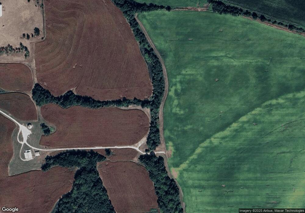
Map
Nearby Homes
- 1882 Gates Dr W
- 2111 Catie Ln
- 1859 Gates Ave
- 1857 Wilkerson St
- 20 Norma Ln
- 122 Almond St
- 12705 N Larkspur Ln
- 12615 N Larkspur Ln
- 12730 N Champanel Way
- 12710 NW Bittersweet Dr
- 18295 NW Iris Ct
- 18220 NW Iris Ct
- 12870 N Champanel Way
- 112 Ferrel St
- 12915 N Champanel Way
- 103 Sally Cir
- 12925 N Champanel Way
- 12860 N Champanel Way
- 12935 N Champanel Way
- 26 Hull Dr