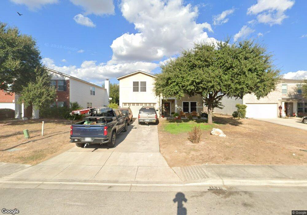
1427 Cap Ridge Peak New Braunfels, TX 78130
South New Braunfels NeighborhoodEstimated Value: $293,000 - $372,000
3
Beds
3
Baths
2,948
Sq Ft
$108/Sq Ft
Est. Value
About This Home
This home is located at 1427 Cap Ridge Peak, New Braunfels, TX 78130 and is currently estimated at $318,487, approximately $108 per square foot. 1427 Cap Ridge Peak is a home located in Guadalupe County with nearby schools including Canyon Middle School, Canyon High School, and Premier High School - New Braunfels.
Ownership History
Date
Name
Owned For
Owner Type
Purchase Details
Closed on
Apr 25, 2014
Sold by
Russell Bruce L and Russell Janice C
Bought by
Matykiewicz Misty
Current Estimated Value
Home Financials for this Owner
Home Financials are based on the most recent Mortgage that was taken out on this home.
Original Mortgage
$168,884
Outstanding Balance
$128,480
Interest Rate
4.36%
Mortgage Type
FHA
Estimated Equity
$190,007
Purchase Details
Closed on
May 18, 2011
Sold by
Fieldstone Homes Texas Llc
Bought by
Russell Bruce L
Home Financials for this Owner
Home Financials are based on the most recent Mortgage that was taken out on this home.
Original Mortgage
$143,991
Interest Rate
4.85%
Mortgage Type
New Conventional
Create a Home Valuation Report for This Property
The Home Valuation Report is an in-depth analysis detailing your home's value as well as a comparison with similar homes in the area
Home Values in the Area
Average Home Value in this Area
Purchase History
| Date | Buyer | Sale Price | Title Company |
|---|---|---|---|
| Matykiewicz Misty | -- | Providence Title Company | |
| Russell Bruce L | -- | Chicago Title Ins Co |
Source: Public Records
Mortgage History
| Date | Status | Borrower | Loan Amount |
|---|---|---|---|
| Open | Matykiewicz Misty | $168,884 | |
| Previous Owner | Russell Bruce L | $143,991 |
Source: Public Records
Tax History Compared to Growth
Tax History
| Year | Tax Paid | Tax Assessment Tax Assessment Total Assessment is a certain percentage of the fair market value that is determined by local assessors to be the total taxable value of land and additions on the property. | Land | Improvement |
|---|---|---|---|---|
| 2025 | $3,496 | $318,983 | $37,384 | $281,599 |
| 2024 | $3,496 | $304,000 | $35,286 | $268,714 |
| 2023 | $5,157 | $283,149 | $51,718 | $330,282 |
| 2022 | $5,232 | $257,408 | $38,160 | $287,204 |
| 2021 | $5,018 | $234,007 | $25,736 | $216,496 |
| 2020 | $4,659 | $212,734 | $25,736 | $186,998 |
| 2019 | $4,518 | $199,899 | $25,736 | $174,163 |
| 2018 | $4,495 | $199,075 | $19,950 | $179,125 |
| 2017 | $800 | $213,670 | $21,346 | $192,324 |
| 2016 | $4,845 | $213,111 | $21,346 | $191,765 |
| 2015 | $3,672 | $216,271 | $21,346 | $194,925 |
| 2014 | $4,250 | $186,219 | $17,325 | $168,894 |
Source: Public Records
Map
Nearby Homes
- 1408 Prairie Rock
- 1425 Jordan Crossing
- 1460 Astor Creek
- 1452 Astor Creek
- 223 Kinsley Way
- 384 Copper Wood Dr
- 384 Copper Wood Dr Unit 1
- 1283 State Highway 46 S
- 1430 S State Highway 46
- 464 Copper Hill Dr
- 1678 Kolbe Trail
- The Easton Plan at Saengerhalle Meadows
- The Dalton Plan at Saengerhalle Meadows
- The Harris Plan at Saengerhalle Meadows
- The Kate Plan at Saengerhalle Meadows
- The Mitchell Plan at Saengerhalle Meadows
- The Nicole Plan at Saengerhalle Meadows
- The Baxtor Plan at Saengerhalle Meadows
- The Gaven Plan at Saengerhalle Meadows
- 1422 Tupelo Dr
- 1427 Cap Ridge
- 1431 Cap Ridge Peak
- 1423 Cap Ridge Peak
- 1419 Cap Ridge Peak
- 1428 Prairie Rock
- 1435 Cap Ridge Peak
- 1424 Prairie Rock
- 1432 Prairie Rock
- 1442 Prairie Rock
- 1415 Cap Ridge Peak
- 1438 Prairie Rock
- 1426 Cap Ridge Peak
- 1436 Prairie Rock
- 1430 Cap Ridge Peak
- 1422 Cap Ridge Peak
- 1434 Cap Ridge Peak
- 1420 Prairie Rock
- 1414 Cap Ridge Peak
- 1418 Cap Ridge
- 1416 Prairie Rock