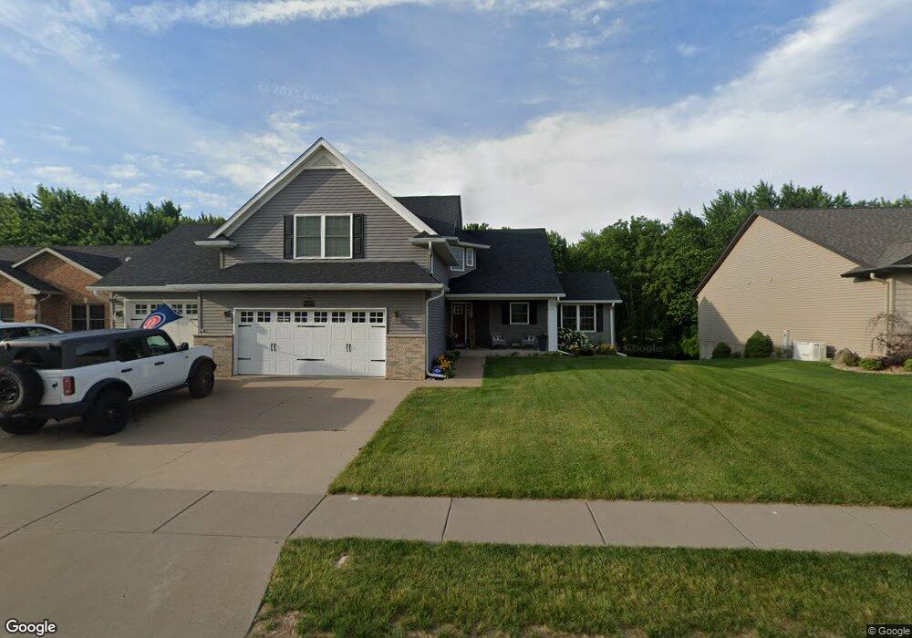
1427 W 61st St Davenport, IA 52806
North Side NeighborhoodEstimated Value: $462,000 - $523,790
4
Beds
2
Baths
2,748
Sq Ft
$175/Sq Ft
Est. Value
About This Home
This home is located at 1427 W 61st St, Davenport, IA 52806 and is currently estimated at $480,198, approximately $174 per square foot. 1427 W 61st St is a home located in Scott County with nearby schools including Cumberland Hall School, Harrison Elementary School, and Academy Of Continuing Education.
Ownership History
Date
Name
Owned For
Owner Type
Purchase Details
Closed on
Jan 29, 2010
Sold by
Jp Condon Inc
Bought by
Carstens Todd M and Carstens Lisa K
Current Estimated Value
Home Financials for this Owner
Home Financials are based on the most recent Mortgage that was taken out on this home.
Original Mortgage
$275,793
Outstanding Balance
$180,809
Interest Rate
5%
Mortgage Type
FHA
Estimated Equity
$299,389
Create a Home Valuation Report for This Property
The Home Valuation Report is an in-depth analysis detailing your home's value as well as a comparison with similar homes in the area
Home Values in the Area
Average Home Value in this Area
Purchase History
| Date | Buyer | Sale Price | Title Company |
|---|---|---|---|
| Carstens Todd M | $297,000 | Gomez Title & Closing Compan |
Source: Public Records
Mortgage History
| Date | Status | Borrower | Loan Amount |
|---|---|---|---|
| Open | Carstens Todd M | $275,793 |
Source: Public Records
Tax History Compared to Growth
Tax History
| Year | Tax Paid | Tax Assessment Tax Assessment Total Assessment is a certain percentage of the fair market value that is determined by local assessors to be the total taxable value of land and additions on the property. | Land | Improvement |
|---|---|---|---|---|
| 2025 | $8,692 | $566,090 | $62,060 | $504,030 |
| 2024 | $8,869 | $496,570 | $62,060 | $434,510 |
| 2023 | $8,893 | $496,570 | $62,060 | $434,510 |
| 2022 | $8,467 | $413,810 | $55,640 | $358,170 |
| 2021 | $8,258 | $393,770 | $47,080 | $346,690 |
| 2020 | $7,118 | $356,140 | $47,080 | $309,060 |
| 2019 | $7,745 | $336,410 | $47,080 | $289,330 |
| 2018 | $7,385 | $336,410 | $47,080 | $289,330 |
| 2017 | $7,232 | $336,410 | $47,080 | $289,330 |
| 2016 | $6,600 | $310,110 | $0 | $0 |
| 2015 | $6,600 | $308,640 | $0 | $0 |
| 2014 | $6,662 | $308,640 | $0 | $0 |
| 2013 | $6,736 | $0 | $0 | $0 |
| 2012 | -- | $304,760 | $52,730 | $252,030 |
Source: Public Records
Map
Nearby Homes
- 1301 W 62nd Ct
- 1415 W 59th St
- 5735 Taylor St
- 5721 Taylor St
- 5804 Lillie Ave
- 1629 W 66th St
- 1033 W 58th St
- 6015 Vine St
- 1005 W 58th St
- Lot 26 Benjamin Ct
- LOT 54 Franklin Ave
- Lot 56 Franklin Ave
- 5510 N Division St
- Lot 65 W 66th St
- 6308 Appomattox Rd
- 6322 Appomattox Rd
- 1724 W 69th St
- 671 W 64th St
- 665 W 64th St
- 655 W 64th St
- 1433 W 61st St
- 1421 W 61st St
- 1415 W 61st St
- 6048 Oakbrook Rd
- 1412 Meadowview Ln
- 6103 Fillmore St
- 1406 Meadowview Ln
- 1409 W 61st St
- 6104 Fillmore St
- 0 W 61st St
- 0000 W 61st St
- Lot 11 W 61st St
- 6042 Oakbrook Rd
- 1402 Meadowview Ln
- 6109 Fillmore St
- 1410 W 61st St
- 1353 W 61st St
- 6110 Fillmore St
- 6032 Oakbrook Rd
- 1354 Meadowview Ln