Estimated Value: $339,000 - $1,105,226
3
Beds
3
Baths
1,958
Sq Ft
$369/Sq Ft
Est. Value
About This Home
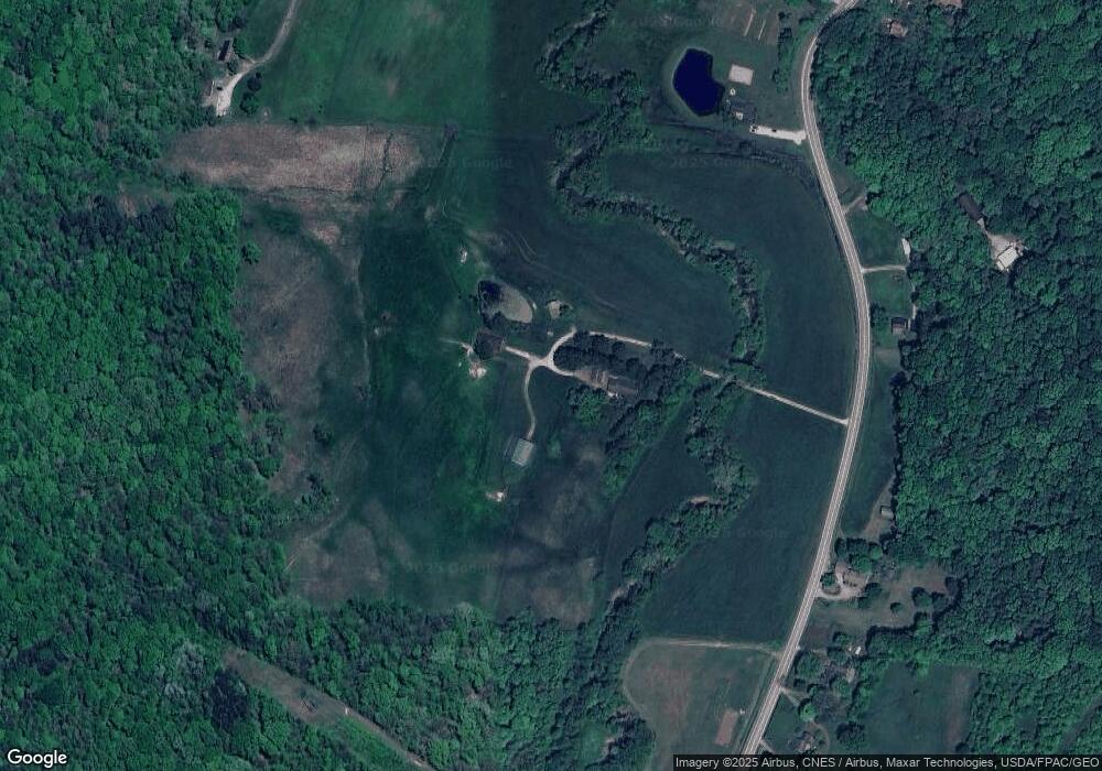
This home is located at 14279 State Route 93 S, Logan, OH 43138 and is currently estimated at $722,113, approximately $368 per square foot. 14279 State Route 93 S is a home located in Hocking County with nearby schools including Union Furnace Elementary School, Logan Christian School, and St. John the Evangelist School.
Ownership History
Date
Name
Owned For
Owner Type
Purchase Details
Closed on
Jan 19, 2023
Sold by
Thatcher Kathleen
Bought by
Sr 93 Cabins Llc
Current Estimated Value
Home Financials for this Owner
Home Financials are based on the most recent Mortgage that was taken out on this home.
Original Mortgage
$656,250
Outstanding Balance
$608,679
Interest Rate
6.31%
Mortgage Type
New Conventional
Estimated Equity
$113,434
Create a Home Valuation Report for This Property
The Home Valuation Report is an in-depth analysis detailing your home's value as well as a comparison with similar homes in the area
Home Values in the Area
Average Home Value in this Area
Purchase History
| Date | Buyer | Sale Price | Title Company |
|---|---|---|---|
| Sr 93 Cabins Llc | -- | -- |
Source: Public Records
Mortgage History
| Date | Status | Borrower | Loan Amount |
|---|---|---|---|
| Open | Sr 93 Cabins Llc | $656,250 |
Source: Public Records
Tax History Compared to Growth
Tax History
| Year | Tax Paid | Tax Assessment Tax Assessment Total Assessment is a certain percentage of the fair market value that is determined by local assessors to be the total taxable value of land and additions on the property. | Land | Improvement |
|---|---|---|---|---|
| 2024 | $4,072 | $105,650 | $27,070 | $78,580 |
| 2023 | $4,072 | $112,930 | $34,350 | $78,580 |
| 2022 | $3,719 | $106,410 | $27,830 | $78,580 |
| 2021 | $3,400 | $92,650 | $25,050 | $67,600 |
| 2020 | $3,385 | $92,650 | $25,050 | $67,600 |
| 2019 | $3,386 | $92,650 | $25,050 | $67,600 |
| 2018 | $3,538 | $98,270 | $30,670 | $67,600 |
| 2017 | $3,472 | $98,270 | $30,670 | $67,600 |
| 2016 | $3,447 | $97,100 | $29,500 | $67,600 |
| 2015 | $3,177 | $89,810 | $24,880 | $64,930 |
| 2014 | $3,177 | $88,240 | $23,310 | $64,930 |
| 2013 | $3,191 | $88,240 | $23,310 | $64,930 |
Source: Public Records
Map
Nearby Homes
- 0 Redbud Ln Unit LOT 62 224020754
- 32366 Lilac Ln
- 32268 Cedar Ln
- 743 Summit Dr
- 849 Mohican Ave
- 15050 Old McArthur Rd
- 875 Walhonding Ave
- 111 Falls St
- 953 Marla Ave
- 1139 Old McArthur Rd
- 15155 Sauerkraut Rd
- 28583 Hawthorne Way
- 787 Huntley Ave
- 741 Huntley Ave
- 31440 Deerfield Dr
- 67 W Front St
- 13464 State Route 664 S
- 597 Henrietta Ave
- 331 Short St
- 14180 Ohio 664
- 14246 State Route 93 S
- 14340 State Route 93 S
- 14370 State Route 93 S
- 14394 State Route 93 S
- 14216 State Route 93 S
- 14418 State Route 93
- 14105 State Route 93 S
- 14418 State Route 93 S
- 14136 State Route 93 S
- 13915 Wildwood Dr
- 14116 Hemlock Pkwy Unit Lot 49
- 14475 Ohio 93
- 14092 Hemlock Pkwy
- 14440 State Route 93 S
- 14394 Ohio 93
- 14115 Hemlock Pkwy
- 14097 Hemlock Pkwy
- 14054 Hemlock Pkwy
- 14035 Hemlock Pkwy
- 32321 Redbud Ln
