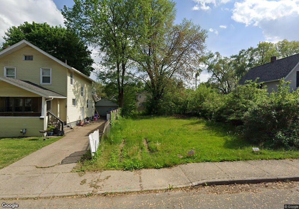
1428 Clinton Ave Kalamazoo, MI 49001
Edison NeighborhoodEstimated Value: $29,000 - $136,000
--
Bed
2
Baths
1,474
Sq Ft
$66/Sq Ft
Est. Value
About This Home
This home is located at 1428 Clinton Ave, Kalamazoo, MI 49001 and is currently estimated at $96,667, approximately $65 per square foot. 1428 Clinton Ave is a home located in Kalamazoo County with nearby schools including Edison Environmental Science Academy, Milwood Magnet School, and Loy Norrix High School.
Ownership History
Date
Name
Owned For
Owner Type
Purchase Details
Closed on
Nov 22, 2022
Sold by
Kalamazoo County Land Bank Authority
Bought by
Barker Ash
Current Estimated Value
Purchase Details
Closed on
Dec 18, 2014
Sold by
Kalamazoo County Treasurer
Bought by
Kalamazoo County Land Bank Authority
Purchase Details
Closed on
Mar 12, 2004
Sold by
Carnegie Jarriel
Bought by
Carnegie Jarriel and Carnegie Lisa
Home Financials for this Owner
Home Financials are based on the most recent Mortgage that was taken out on this home.
Original Mortgage
$64,350
Interest Rate
5.74%
Mortgage Type
Stand Alone Refi Refinance Of Original Loan
Create a Home Valuation Report for This Property
The Home Valuation Report is an in-depth analysis detailing your home's value as well as a comparison with similar homes in the area
Home Values in the Area
Average Home Value in this Area
Purchase History
| Date | Buyer | Sale Price | Title Company |
|---|---|---|---|
| Barker Ash | -- | -- | |
| Kalamazoo County Land Bank Authority | -- | None Available | |
| Carnegie Jarriel | -- | Devon Title |
Source: Public Records
Mortgage History
| Date | Status | Borrower | Loan Amount |
|---|---|---|---|
| Previous Owner | Carnegie Jarriel | $64,350 |
Source: Public Records
Tax History Compared to Growth
Tax History
| Year | Tax Paid | Tax Assessment Tax Assessment Total Assessment is a certain percentage of the fair market value that is determined by local assessors to be the total taxable value of land and additions on the property. | Land | Improvement |
|---|---|---|---|---|
| 2025 | $353 | $6,200 | $0 | $0 |
| 2024 | $146 | $5,100 | $0 | $0 |
| 2023 | $146 | $5,100 | $0 | $0 |
| 2022 | $0 | $0 | $0 | $0 |
| 2021 | $0 | $0 | $0 | $0 |
| 2020 | $0 | $0 | $0 | $0 |
| 2019 | $1,186 | $0 | $0 | $0 |
| 2018 | $0 | $0 | $0 | $0 |
| 2017 | $1,186 | $0 | $0 | $0 |
| 2016 | $1,186 | $0 | $0 | $0 |
| 2015 | $1,186 | $0 | $0 | $0 |
| 2014 | $1,186 | $19,000 | $0 | $0 |
Source: Public Records
Map
Nearby Homes
- 1424 Lay Blvd
- 1517 E Stockbridge Ave
- 1303 E Stockbridge Ave
- 1939 March St
- 1224 Lane Blvd
- 1028 Clinton Ave
- 1707 E Stockbridge Ave
- 1118 Lane Blvd
- 1212 Washington Ave
- 1002 Egleston Ave
- 1512 Race St
- 915 Hays Park Ave
- 1211 James St
- 923 E Stockbridge Ave
- 1118 E Alcott St
- 1510 Palmer Ave
- 1719 Palmer Ave
- 920 Washington Ave
- 916 Washington Ave
- 1129 Mills St
- 1424 Clinton Ave
- 1502 Clinton Ave
- 1420 Clinton Ave
- 1506 Clinton Ave
- 1427 Hays Park Ave
- 1423 Hays Park Ave
- 1416 Clinton Ave
- 1501 Hays Park Ave
- 1510 Clinton Ave
- 1419 Hays Park Ave
- 1505 Hays Park Ave
- 81982 Clinton Ave
- 1427 Clinton Ave
- 1423 Clinton Ave
- 1501 Clinton Ave
- 1415 Hays Park Ave
- 1410 Clinton Ave
- 1509 Hays Park Ave
- 1514 Clinton Ave
- 1419 Clinton Ave