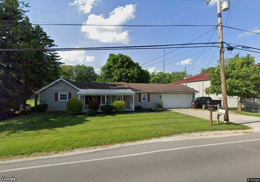
1428 W Cole Rd Fremont, OH 43420
Estimated Value: $188,000 - $242,000
2
Beds
1
Bath
1,200
Sq Ft
$170/Sq Ft
Est. Value
About This Home
This home is located at 1428 W Cole Rd, Fremont, OH 43420 and is currently estimated at $203,608, approximately $169 per square foot. 1428 W Cole Rd is a home located in Sandusky County with nearby schools including Fremont Ross High School, Bishop Hoffman Catholic School - This is St Joe's School now, and St. Joseph School.
Ownership History
Date
Name
Owned For
Owner Type
Purchase Details
Closed on
Jun 19, 2008
Sold by
Deutsche Bank Trust Co America
Bought by
Abdoo Enterprises Ltd Llc
Current Estimated Value
Home Financials for this Owner
Home Financials are based on the most recent Mortgage that was taken out on this home.
Original Mortgage
$47,500
Outstanding Balance
$30,636
Interest Rate
6.15%
Mortgage Type
Purchase Money Mortgage
Estimated Equity
$172,972
Purchase Details
Closed on
Nov 26, 2007
Sold by
Bocanegra Barbara Ann and Bliss Barbara Ann
Bought by
Deutsche Bank Trust Co America
Purchase Details
Closed on
Oct 1, 1985
Bought by
Abdoo Enterprises Limited
Create a Home Valuation Report for This Property
The Home Valuation Report is an in-depth analysis detailing your home's value as well as a comparison with similar homes in the area
Home Values in the Area
Average Home Value in this Area
Purchase History
| Date | Buyer | Sale Price | Title Company |
|---|---|---|---|
| Abdoo Enterprises Ltd Llc | $47,500 | Resource Title | |
| Deutsche Bank Trust Co America | $74,000 | None Available | |
| Abdoo Enterprises Limited | -- | -- |
Source: Public Records
Mortgage History
| Date | Status | Borrower | Loan Amount |
|---|---|---|---|
| Open | Abdoo Enterprises Ltd Llc | $47,500 |
Source: Public Records
Tax History Compared to Growth
Tax History
| Year | Tax Paid | Tax Assessment Tax Assessment Total Assessment is a certain percentage of the fair market value that is determined by local assessors to be the total taxable value of land and additions on the property. | Land | Improvement |
|---|---|---|---|---|
| 2024 | $2,174 | $54,260 | $12,220 | $42,040 |
| 2023 | $2,174 | $37,940 | $8,540 | $29,400 |
| 2022 | $1,627 | $37,940 | $8,540 | $29,400 |
| 2021 | $1,676 | $37,940 | $8,540 | $29,400 |
| 2020 | $1,584 | $35,140 | $8,540 | $26,600 |
| 2019 | $1,582 | $35,140 | $8,540 | $26,600 |
| 2018 | $1,467 | $35,140 | $8,540 | $26,600 |
| 2017 | $1,390 | $31,680 | $8,540 | $23,140 |
| 2016 | $1,218 | $31,680 | $8,540 | $23,140 |
| 2015 | $1,669 | $31,680 | $8,540 | $23,140 |
| 2014 | $1,316 | $33,320 | $8,260 | $25,060 |
| 2013 | $1,968 | $33,320 | $8,260 | $25,060 |
Source: Public Records
Map
Nearby Homes
- 10 Meadowbrook Dr
- 10 Meadowbrook Ln
- 350 Conner Dr
- 64 River Run Dr Unit J
- 1420 Center St
- 1818 Finley Dr
- 135 Briarwood Cir
- 1970 Morrison Rd
- 1832 Myrtle St
- 1485 Autumn Woods Dr
- 1719 Buckland Ave
- 1013 Whittlesey St
- 905 Twinn St
- 933 E Cole Rd
- 18 Katlyn Dr
- 2484 Buckland Ave
- 1028 June St
- 625 Bush Place
- 815 South St
- 616 S Wood St
- 1440 W Cole Rd
- 1457 Chieftain Cir
- 1431 W Cole Rd
- 1443 W Cole Rd
- 1451 Chieftain Cir
- 1738 Tiffin Rd
- 1732 Tiffin Rd
- 1735 Arrowhead Dr
- 1445 Chieftain Cir
- 1481 W Cole Rd
- 1726 Tiffin Rd
- 101 Wisteria Dr
- 1727 Arrowhead Dr
- 104 Canterbury Dr
- 105 Wisteria Dr
- 1720 Tiffin Rd
- 1812 Tiffin Rd
- 1448 Chieftain Cir
- 1499 W Cole Rd Unit 1499
- 1435 Chieftain Cir