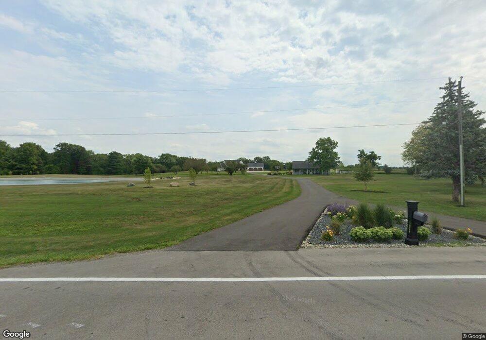
14280 State Route 67 Kenton, OH 43326
Estimated Value: $618,000 - $736,325
3
Beds
3
Baths
4,306
Sq Ft
$157/Sq Ft
Est. Value
About This Home
This home is located at 14280 State Route 67, Kenton, OH 43326 and is currently estimated at $677,163, approximately $157 per square foot. 14280 State Route 67 is a home located in Hardin County with nearby schools including Kenton Elementary School, Kenton Middle School, and Kenton High School.
Ownership History
Date
Name
Owned For
Owner Type
Purchase Details
Closed on
Oct 23, 2017
Sold by
Arn Marilyn P
Bought by
Johnston Kyle W and Johnston Alyssa A
Current Estimated Value
Home Financials for this Owner
Home Financials are based on the most recent Mortgage that was taken out on this home.
Original Mortgage
$284,000
Interest Rate
3.78%
Mortgage Type
Unknown
Purchase Details
Closed on
Mar 1, 2001
Bought by
Arn Robert W and Arn Marilyn P
Purchase Details
Closed on
Feb 27, 2001
Bought by
Arn Robert W
Create a Home Valuation Report for This Property
The Home Valuation Report is an in-depth analysis detailing your home's value as well as a comparison with similar homes in the area
Home Values in the Area
Average Home Value in this Area
Purchase History
| Date | Buyer | Sale Price | Title Company |
|---|---|---|---|
| Johnston Kyle W | $355,000 | None Available | |
| Arn Robert W | -- | -- | |
| Arn Robert W | -- | -- |
Source: Public Records
Mortgage History
| Date | Status | Borrower | Loan Amount |
|---|---|---|---|
| Previous Owner | Johnston Kyle W | $284,000 |
Source: Public Records
Tax History Compared to Growth
Tax History
| Year | Tax Paid | Tax Assessment Tax Assessment Total Assessment is a certain percentage of the fair market value that is determined by local assessors to be the total taxable value of land and additions on the property. | Land | Improvement |
|---|---|---|---|---|
| 2024 | $9,160 | $217,450 | $26,670 | $190,780 |
| 2023 | $9,160 | $221,010 | $26,670 | $194,340 |
| 2022 | $8,152 | $180,910 | $11,690 | $169,220 |
| 2021 | $3,131 | $68,540 | $11,690 | $56,850 |
| 2020 | $3,002 | $74,640 | $11,690 | $62,950 |
| 2019 | $2,841 | $73,500 | $20,840 | $52,660 |
| 2018 | $2,844 | $73,500 | $20,840 | $52,660 |
| 2017 | $2,483 | $73,500 | $20,840 | $52,660 |
| 2016 | $2,543 | $80,000 | $35,530 | $44,470 |
| 2015 | $2,808 | $80,000 | $35,530 | $44,470 |
| 2014 | $2,796 | $88,270 | $43,800 | $44,470 |
| 2013 | $1,012 | $62,040 | $20,260 | $41,780 |
Source: Public Records
Map
Nearby Homes
- 726 Tracy St
- 727 S Detroit St
- 320 Letson Ave
- 639 S Main St
- 702 W Franklin St Unit 702 1/2
- 723 W Lima St Unit 66
- 723 W Lima St Unit 1
- 0 Ohio 309
- 424 W Carrol St
- 609 W North St
- 219 W Carrol St
- 508 Decatur St
- 510 Decatur St
- 121 S High St
- 1255 W North St Unit Lot 47
- 368 N Ida St
- 310 N Market St
- 215 N Main St
- 233 N Main St
- 328 N Detroit St
- 14180 State Route 67
- 14040 State Route 67
- 413 W Espy St
- 366 W Espy St
- 377 W Espy St
- 371 W Espy St
- 367 W Espy St
- 853 Factory Ave
- 849 Factory Ave
- 613 Robinson Ave
- 960 Fontaine St
- 857 Factory Ave
- 627 Robinson Ave
- 505 Robinson Ave
- 875 Factory Ave
- 12836 Us Highway 68
- 12814 Us Highway 68
- 621 Robinson Ave
- 12862 Us Highway 68