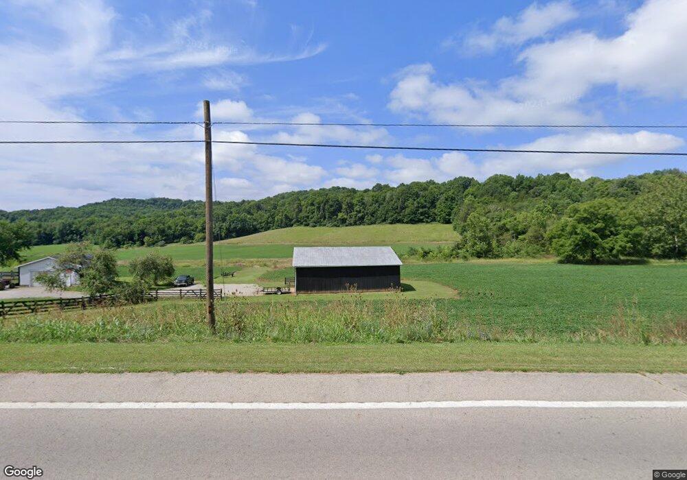
14293 State Route 125 West Union, OH 45693
Estimated Value: $184,000 - $311,605
2
Beds
2
Baths
1,832
Sq Ft
$130/Sq Ft
Est. Value
About This Home
This home is located at 14293 State Route 125, West Union, OH 45693 and is currently estimated at $238,151, approximately $129 per square foot. 14293 State Route 125 is a home located in Adams County with nearby schools including West Union Elementary School and West Union High School.
Ownership History
Date
Name
Owned For
Owner Type
Purchase Details
Closed on
Mar 22, 2019
Sold by
Vogler Janice M
Bought by
Williams Jordan Marie and Williams Mark Robert
Current Estimated Value
Home Financials for this Owner
Home Financials are based on the most recent Mortgage that was taken out on this home.
Original Mortgage
$58,500
Interest Rate
4.4%
Mortgage Type
Future Advance Clause Open End Mortgage
Purchase Details
Closed on
Mar 21, 2019
Sold by
Vogler Janice M
Bought by
Davis Angela Jane and Davis Christopher Michael
Home Financials for this Owner
Home Financials are based on the most recent Mortgage that was taken out on this home.
Original Mortgage
$58,500
Interest Rate
4.4%
Mortgage Type
Future Advance Clause Open End Mortgage
Purchase Details
Closed on
Mar 5, 2002
Sold by
Vogler Roby R
Bought by
Vogler Janice M
Purchase Details
Closed on
Jan 1, 1990
Bought by
Vogler Roby R
Create a Home Valuation Report for This Property
The Home Valuation Report is an in-depth analysis detailing your home's value as well as a comparison with similar homes in the area
Home Values in the Area
Average Home Value in this Area
Purchase History
| Date | Buyer | Sale Price | Title Company |
|---|---|---|---|
| Williams Jordan Marie | $117,000 | None Available | |
| Davis Angela Jane | -- | None Available | |
| Roush Rhonda Denise | -- | None Available | |
| Vogler Janice M | -- | -- | |
| Vogler Roby R | -- | -- |
Source: Public Records
Mortgage History
| Date | Status | Borrower | Loan Amount |
|---|---|---|---|
| Closed | Williams Jordan Marie | $58,500 |
Source: Public Records
Tax History Compared to Growth
Tax History
| Year | Tax Paid | Tax Assessment Tax Assessment Total Assessment is a certain percentage of the fair market value that is determined by local assessors to be the total taxable value of land and additions on the property. | Land | Improvement |
|---|---|---|---|---|
| 2024 | $1,704 | $59,020 | $17,260 | $41,760 |
| 2023 | $858 | $59,020 | $17,260 | $41,760 |
| 2022 | $1,703 | $51,240 | $14,420 | $36,820 |
| 2021 | $1,883 | $51,240 | $14,420 | $36,820 |
| 2020 | $1,926 | $106,610 | $67,970 | $38,640 |
| 2019 | $1,315 | $106,610 | $67,970 | $38,640 |
| 2018 | $1,563 | $92,720 | $59,120 | $33,600 |
| 2017 | $1,537 | $92,720 | $59,120 | $33,600 |
| 2016 | $1,534 | $92,720 | $59,120 | $33,600 |
| 2015 | $1,538 | $90,060 | $53,480 | $36,580 |
| 2014 | $1,539 | $90,060 | $53,480 | $36,580 |
Source: Public Records
Map
Nearby Homes
- 598 Ohio 348
- 1011 Hafer Rd
- 1064 Hafer Rd
- 1186 Tulip Rd
- 1805 Waggoner Riffle Rd
- 467 Waggoner Riffle Rd
- 410 Owens Rd
- 4702 Brush Creek Rd
- 4702 Ohio Brush Creek Rd
- 1478 Robinson Hollow Rd
- 108 Chirsdon Ln
- 405 Lookout View
- 13465 State Route 41
- 216 Kurt St
- 1082 E Walnut St
- 260 Randy St
- 120 Randy St
- 189 Hamilton Rd
- 175 Hidden Acres Dr
- 292 Larry Baynum Rd
- 14321 State Route 125
- 14067 St Rt 125
- 14142 State Route 125
- 14142 State Route 125
- 14480 State Route 125
- 14485 State Route 125
- 14060 State Route 125
- 1860 Satterfield Rd
- 1015 Ralston Rd
- 1015 Ralston Rd
- 1021 Ralston Rd
- 13568 State Route 125
- 13568 State Route 125
- 831 Ralston Rd
- 900 Ralston Rd
- 1095 Ralston Rd
- 1200 Ralston Rd
- 649 Ralston Rd
- 249 Satterfield Rd
- 468 State Route 348