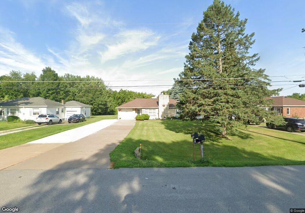
14294 115th Ave Davenport, IA 52804
Outer Davenport/Bettendorf NeighborhoodEstimated Value: $153,000 - $212,000
2
Beds
1
Bath
975
Sq Ft
$197/Sq Ft
Est. Value
About This Home
This home is located at 14294 115th Ave, Davenport, IA 52804 and is currently estimated at $192,304, approximately $197 per square foot. 14294 115th Ave is a home located in Scott County with nearby schools including Buffalo Elementary School, Walcott Intermediate School, and West High School.
Ownership History
Date
Name
Owned For
Owner Type
Purchase Details
Closed on
Dec 16, 2010
Sold by
Hurt Michael R and Hurt Kristi
Bought by
Turner Elba A and Turner Dorothy R
Current Estimated Value
Purchase Details
Closed on
Feb 19, 2008
Sold by
Brasch Larry F and Brasch Katherine M
Bought by
Hurt Michael R
Home Financials for this Owner
Home Financials are based on the most recent Mortgage that was taken out on this home.
Original Mortgage
$78,764
Interest Rate
5.9%
Mortgage Type
FHA
Purchase Details
Closed on
Mar 16, 2006
Sold by
Brasch Pearl B
Bought by
Pearl B Brasch Revocable Trust
Purchase Details
Closed on
Jan 19, 2006
Sold by
Storjohann Phillip L
Bought by
Brasch Pearl B
Create a Home Valuation Report for This Property
The Home Valuation Report is an in-depth analysis detailing your home's value as well as a comparison with similar homes in the area
Home Values in the Area
Average Home Value in this Area
Purchase History
| Date | Buyer | Sale Price | Title Company |
|---|---|---|---|
| Turner Elba A | $98,000 | None Available | |
| Hurt Michael R | $80,000 | None Available | |
| Pearl B Brasch Revocable Trust | -- | None Available | |
| Brasch Pearl B | -- | None Available |
Source: Public Records
Mortgage History
| Date | Status | Borrower | Loan Amount |
|---|---|---|---|
| Previous Owner | Hurt Michael R | $78,764 |
Source: Public Records
Tax History Compared to Growth
Tax History
| Year | Tax Paid | Tax Assessment Tax Assessment Total Assessment is a certain percentage of the fair market value that is determined by local assessors to be the total taxable value of land and additions on the property. | Land | Improvement |
|---|---|---|---|---|
| 2025 | $1,964 | $199,100 | $66,300 | $132,800 |
| 2024 | $1,988 | $195,700 | $66,300 | $129,400 |
| 2023 | $1,422 | $195,700 | $66,300 | $129,400 |
| 2022 | $1,440 | $111,170 | $17,800 | $93,370 |
| 2021 | $1,440 | $111,170 | $17,800 | $93,370 |
| 2020 | $1,328 | $101,990 | $17,800 | $84,190 |
| 2019 | $1,350 | $100,340 | $17,800 | $82,540 |
| 2018 | $1,320 | $100,340 | $17,800 | $82,540 |
| 2017 | $1,412 | $100,340 | $17,800 | $82,540 |
| 2016 | $1,348 | $102,420 | $0 | $0 |
| 2015 | $1,348 | $98,190 | $0 | $0 |
| 2014 | $1,316 | $98,190 | $0 | $0 |
| 2013 | $1,296 | $0 | $0 | $0 |
| 2012 | -- | $98,310 | $17,800 | $80,510 |
Source: Public Records
Map
Nearby Homes
- 1620 S Vermont Ave
- 1335 N Utah Ave
- 1422 Racine Ct
- 1536 Rhinelander Dr
- 1515 Rhinelander Dr
- 5910 Austin Ave
- 4738 W 11th St
- 1634 Rhinelander Ct
- 1729 Jenna Dr
- 5908 Alec Ave
- 5529 Baraboo Ct
- 5521 Baraboo Ct
- 5321 Friendship Dr Unit 5320
- 5418 Chapel Hill Rd
- 1210 Eagle's Crest Dr
- 4703 W 13th St
- 3712 Johnson Ave
- 1139 Calvin St
- 1215 Calvin St
- 3631 Homestead Ave
- 14276 115th Ave
- 14310 115th Ave
- 14260 115th Ave
- 14322 115th Ave
- 14248 115th Ave
- 14338 115th Ave
- 14269 115th Ave
- 14297 115th Ave
- 14220 115th Ave
- 14321 115th Ave
- 14354 115th Ave
- 14243 115th Ave
- 14216 115th Ave
- 14355 115th Ave
- 14219 115th Ave
- 14200 115th Ave
- 14382 115th Ave
- 14260 113th Ave
- 14260 113th Ave
- 14388 115th Ave