143 Cedar Creek Cir Broken Bow, OK 74728
Estimated Value: $523,432 - $779,000
4
Beds
3
Baths
2,323
Sq Ft
$271/Sq Ft
Est. Value
About This Home
This home is located at 143 Cedar Creek Cir, Broken Bow, OK 74728 and is currently estimated at $628,858, approximately $270 per square foot. 143 Cedar Creek Cir is a home with nearby schools including Battiest Elementary School and Battiest High School.
Ownership History
Date
Name
Owned For
Owner Type
Purchase Details
Closed on
Jul 22, 2005
Sold by
Snider Billy C and Snider Rowena G
Bought by
Blankenpship Steve and Blankenship Wenda
Current Estimated Value
Home Financials for this Owner
Home Financials are based on the most recent Mortgage that was taken out on this home.
Original Mortgage
$158,000
Interest Rate
5.61%
Mortgage Type
New Conventional
Purchase Details
Closed on
Aug 5, 1997
Sold by
Reed Charles L
Bought by
Snider Billy C and Snider Rowena
Create a Home Valuation Report for This Property
The Home Valuation Report is an in-depth analysis detailing your home's value as well as a comparison with similar homes in the area
Home Values in the Area
Average Home Value in this Area
Purchase History
| Date | Buyer | Sale Price | Title Company |
|---|---|---|---|
| Blankenpship Steve | $240,000 | First American Title Insuran | |
| Snider Billy C | $2,500 | -- |
Source: Public Records
Mortgage History
| Date | Status | Borrower | Loan Amount |
|---|---|---|---|
| Closed | Blankenpship Steve | $158,000 |
Source: Public Records
Tax History Compared to Growth
Tax History
| Year | Tax Paid | Tax Assessment Tax Assessment Total Assessment is a certain percentage of the fair market value that is determined by local assessors to be the total taxable value of land and additions on the property. | Land | Improvement |
|---|---|---|---|---|
| 2024 | $1,825 | $22,956 | $5,775 | $17,181 |
| 2023 | $1,815 | $21,863 | $5,775 | $16,088 |
| 2022 | $1,816 | $21,863 | $5,775 | $16,088 |
| 2021 | $1,875 | $21,863 | $5,775 | $16,088 |
| 2020 | $1,876 | $22,336 | $5,775 | $16,561 |
| 2019 | $1,983 | $22,810 | $5,775 | $17,035 |
| 2018 | $2,044 | $23,283 | $5,775 | $17,508 |
| 2017 | $1,853 | $22,793 | $5,597 | $17,196 |
| 2016 | $1,775 | $21,708 | $4,620 | $17,088 |
| 2015 | $1,827 | $21,796 | $4,620 | $17,176 |
| 2014 | $1,672 | $21,796 | $4,620 | $17,176 |
Source: Public Records
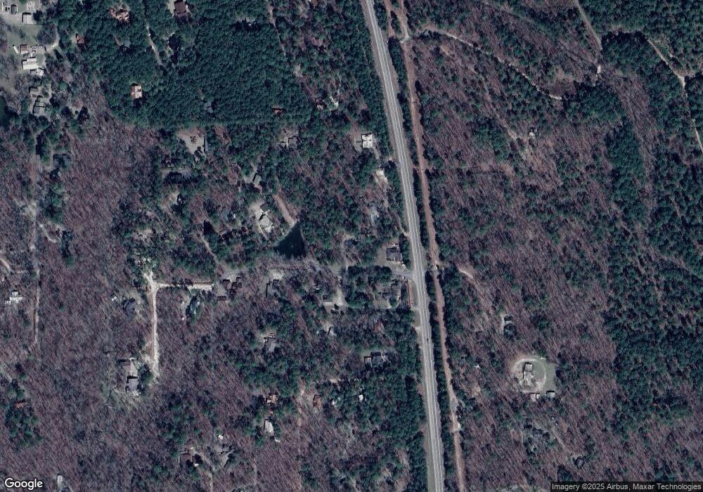
Map
Nearby Homes
- 172 Cedar Creek Cir
- 204 S Cedar Creek Cir
- 184 Mangrove Rd
- 167 Penner Rd
- 26 Mangrove Rd
- 32 Fireside Ln
- 206 Pinehurst Ln
- 12 Pinehurst Ln
- 68 E G Ln
- 250 Almond Ln
- 118 Pecan Bend Ln
- 75 Pecan Bend Ln
- 660 Lucian Sorrel Rd
- 18 Western Fir Ln
- 253 Western Pine Trail
- 53 E Fork Rd
- 214 Western Spruce Trail
- 0 Pilotfish Rd
- 141 Lost Oaks Trail
- 145 Guppy Ln
- 0 Cedar Creek Cir Unit 2001220
- 12921 N 259
- 19 Cedar Creek Cir
- 300 Cardinal Dr
- 12921 N Us Highway 259
- 12921 N Us Hwy 259
- Lot 149 Timberline Trail
- 329 Cascading Creek Cir
- 30 Timberwolf Trail
- 234 Birds Nest Rd
- 241 Cedar Creek Cir
- 297 Cascading Creek Cir
- 162 Timberwolf Trail
- 252 Cedar Creek Cir
- 160 Cascading Creek Cir
- 223 Cascading Creek Cir
- 12815 N Us Highway 259
- 12815 N Us Highway 259
- 184 Cedar Creek Cir
- 76 Tranquil Ln