143 Injun Hollow Rd Haddam, CT 06424
Estimated Value: $517,000 - $1,343,000
4
Beds
10
Baths
2,192
Sq Ft
$386/Sq Ft
Est. Value
About This Home
This home is located at 143 Injun Hollow Rd, Haddam, CT 06424 and is currently estimated at $845,445, approximately $385 per square foot. 143 Injun Hollow Rd is a home located in Middlesex County with nearby schools including Haddam-Killingworth High School.
Ownership History
Date
Name
Owned For
Owner Type
Purchase Details
Closed on
Feb 16, 2016
Sold by
Stuhlman Mark L and Stuhlman Elaine K
Bought by
Chase Daniel L and Cacace Angela M
Current Estimated Value
Home Financials for this Owner
Home Financials are based on the most recent Mortgage that was taken out on this home.
Original Mortgage
$616,000
Outstanding Balance
$492,177
Interest Rate
4.02%
Estimated Equity
$353,268
Purchase Details
Closed on
Aug 22, 2003
Sold by
Lederman Laurence and Lederman Marion
Bought by
Stuhlman Mark L and Stuhlman Elaine K
Home Financials for this Owner
Home Financials are based on the most recent Mortgage that was taken out on this home.
Original Mortgage
$204,000
Interest Rate
5.52%
Create a Home Valuation Report for This Property
The Home Valuation Report is an in-depth analysis detailing your home's value as well as a comparison with similar homes in the area
Home Values in the Area
Average Home Value in this Area
Purchase History
| Date | Buyer | Sale Price | Title Company |
|---|---|---|---|
| Chase Daniel L | $220,000 | -- | |
| Stuhlman Mark L | $255,000 | -- |
Source: Public Records
Mortgage History
| Date | Status | Borrower | Loan Amount |
|---|---|---|---|
| Open | Chase Daniel L | $616,000 | |
| Previous Owner | Stuhlman Mark L | $138,000 | |
| Previous Owner | Stuhlman Mark L | $204,000 |
Source: Public Records
Tax History Compared to Growth
Tax History
| Year | Tax Paid | Tax Assessment Tax Assessment Total Assessment is a certain percentage of the fair market value that is determined by local assessors to be the total taxable value of land and additions on the property. | Land | Improvement |
|---|---|---|---|---|
| 2025 | $15,141 | $440,800 | $224,570 | $216,230 |
| 2024 | $15,141 | $440,800 | $224,570 | $216,230 |
| 2023 | $14,930 | $440,800 | $224,570 | $216,230 |
| 2022 | $13,865 | $428,860 | $224,570 | $204,290 |
| 2021 | $13,727 | $426,830 | $224,570 | $202,260 |
| 2020 | $13,769 | $434,490 | $245,040 | $189,450 |
| 2019 | $13,769 | $434,490 | $245,040 | $189,450 |
| 2018 | $13,769 | $434,490 | $245,040 | $189,450 |
| 2017 | $13,410 | $423,150 | $245,040 | $178,110 |
| 2016 | $7,645 | $245,040 | $245,040 | $0 |
| 2015 | $7,645 | $245,040 | $245,040 | $0 |
| 2014 | $7,569 | $245,040 | $245,040 | $0 |
Source: Public Records
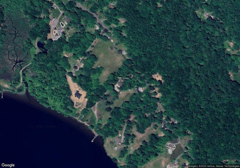
Map
Nearby Homes
- 195 Injun Hollow Rd
- 291 Injun Hollow Rd
- 195A Injun Hollow Rd
- 0 Parmelee Rd
- 25 Island Dock Rd
- 0 Saybrook Rd
- 16 Walkley Hill Rd
- 0 Walkley Hill Rd Unit 24088136
- 50 Haddam Neck Rd
- 10 Cherry Swamp Rd
- 291 Hog Hill Rd
- 67 Moodus Leesville Rd
- 8 Augusta Cir Unit 8
- 32 Maple Ave W
- 86 Christian Hill Rd
- 71 Cherry Swamp Rd
- 0 S Dish Mill Rd Unit 24082788
- 398 E Haddam Moodus Rd
- 2 Morgan Ln
- 40 & 42 Old Cart Rd
- 141 Injun Hollow Rd
- 27 Collins Ln
- 153 Injun Hollow Rd
- 19 Collins Ln
- 22 Collins Ln
- 156 Injun Hollow Rd
- 164 Injun Hollow Rd
- 171 Injun Hollow Rd
- 00 Injun Hollow Rd
- 115 Injun Hollow Rd
- 176 Injun Hollow Rd
- 120 Injun Hollow Rd
- 39 Ben Clark Hill Rd
- 00 Ben Clark Hill Rd
- 39 Ben Clark Hill Rd
- 97 Injun Hollow Rd
- 183 Injun Hollow Rd
- 97 Injun Hollow Rd
- 36 Ben Clark Hill Rd
- 195 Injun Hollow Rd Unit Lot A