143 Patch Rd Henniker, NH 03242
Estimated Value: $464,000 - $534,000
2
Beds
3
Baths
1,746
Sq Ft
$287/Sq Ft
Est. Value
About This Home
This home is located at 143 Patch Rd, Henniker, NH 03242 and is currently estimated at $501,697, approximately $287 per square foot. 143 Patch Rd is a home located in Merrimack County with nearby schools including Henniker Community School and John Stark Regional High School.
Ownership History
Date
Name
Owned For
Owner Type
Purchase Details
Closed on
Oct 12, 2021
Sold by
Elliott Richard Bruce Est
Bought by
Robinson Andrew D and Robinson Kimberly D
Current Estimated Value
Home Financials for this Owner
Home Financials are based on the most recent Mortgage that was taken out on this home.
Original Mortgage
$165,000
Outstanding Balance
$149,152
Interest Rate
2.8%
Mortgage Type
Purchase Money Mortgage
Estimated Equity
$352,545
Create a Home Valuation Report for This Property
The Home Valuation Report is an in-depth analysis detailing your home's value as well as a comparison with similar homes in the area
Home Values in the Area
Average Home Value in this Area
Purchase History
| Date | Buyer | Sale Price | Title Company |
|---|---|---|---|
| Robinson Andrew D | $365,000 | None Available |
Source: Public Records
Mortgage History
| Date | Status | Borrower | Loan Amount |
|---|---|---|---|
| Open | Robinson Andrew D | $165,000 |
Source: Public Records
Tax History
| Year | Tax Paid | Tax Assessment Tax Assessment Total Assessment is a certain percentage of the fair market value that is determined by local assessors to be the total taxable value of land and additions on the property. | Land | Improvement |
|---|---|---|---|---|
| 2025 | $8,952 | $371,000 | $133,800 | $237,200 |
| 2024 | $8,867 | $371,000 | $133,800 | $237,200 |
| 2023 | $8,319 | $371,700 | $134,500 | $237,200 |
| 2022 | $7,969 | $371,700 | $134,500 | $237,200 |
| 2021 | $8,550 | $262,600 | $85,200 | $177,400 |
| 2020 | $8,204 | $262,600 | $85,200 | $177,400 |
| 2019 | $7,658 | $216,700 | $90,800 | $125,900 |
| 2018 | $7,301 | $216,700 | $90,800 | $125,900 |
| 2017 | $7,355 | $216,700 | $90,800 | $125,900 |
| 2016 | $7,223 | $216,700 | $90,800 | $125,900 |
| 2015 | $6,820 | $216,700 | $90,800 | $125,900 |
| 2014 | $6,906 | $225,100 | $93,900 | $131,200 |
Source: Public Records
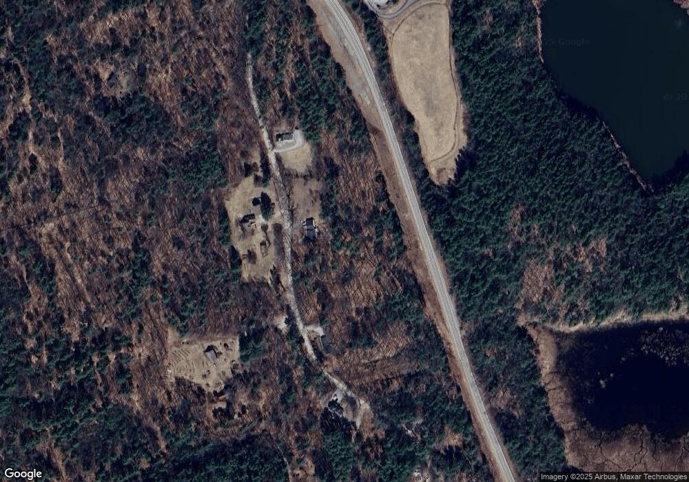
Map
Nearby Homes
- 1278 Weare Rd
- 586 C-4 Craney Hill Rd
- Map 11 Lot 729 Craney Hill Rd
- 463 Craney Hill Rd
- 160 Atha's Way
- Tax Map5B Lot97 Route 114
- 540 x 9 Route 114
- 106 Peaked Hill Dr
- 236 Walker Hill Rd
- 70 Hillside Dr
- 322 French Rd
- 144 Fairview Ave
- 35 Collins Landing Rd Unit 32
- 35 Collins Landing Rd Unit 29
- 62 Collins Landing Rd Unit 47
- 42 Rockland Rd
- 732 Concord Stage Rd Unit 7
- 75 Clark Mill Rd
- 1583 River Rd
- Map 201 Lot 114 Thorndike Rd
Your Personal Tour Guide
Ask me questions while you tour the home.