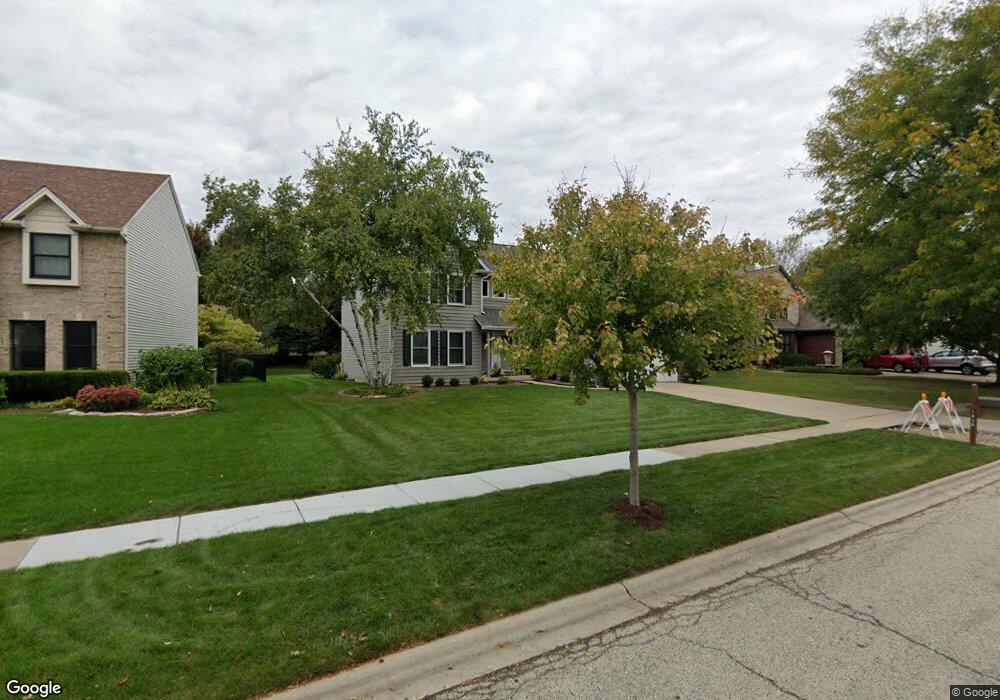
1430 Carlisle St Algonquin, IL 60102
Estimated Value: $467,971 - $541,000
4
Beds
3
Baths
2,739
Sq Ft
$183/Sq Ft
Est. Value
About This Home
This home is located at 1430 Carlisle St, Algonquin, IL 60102 and is currently estimated at $500,243, approximately $182 per square foot. 1430 Carlisle St is a home located in McHenry County with nearby schools including Westfield Community School, Kenneth E Neubert Elementary School, and United Junior High School.
Ownership History
Date
Name
Owned For
Owner Type
Purchase Details
Closed on
Sep 20, 1999
Sold by
Conroy Eileen T
Bought by
Elliott David and Elliott Victoria A
Current Estimated Value
Home Financials for this Owner
Home Financials are based on the most recent Mortgage that was taken out on this home.
Original Mortgage
$184,800
Outstanding Balance
$55,165
Interest Rate
7.91%
Estimated Equity
$445,078
Purchase Details
Closed on
Jun 23, 1998
Sold by
Algonquin State Bank
Bought by
Algonquin State Bank Na
Create a Home Valuation Report for This Property
The Home Valuation Report is an in-depth analysis detailing your home's value as well as a comparison with similar homes in the area
Home Values in the Area
Average Home Value in this Area
Purchase History
| Date | Buyer | Sale Price | Title Company |
|---|---|---|---|
| Elliott David | $231,000 | Republic Title Company | |
| Algonquin State Bank Na | -- | Northern Land Title Corp |
Source: Public Records
Mortgage History
| Date | Status | Borrower | Loan Amount |
|---|---|---|---|
| Open | Elliott David | $184,800 | |
| Closed | Elliott David | $23,100 |
Source: Public Records
Tax History Compared to Growth
Tax History
| Year | Tax Paid | Tax Assessment Tax Assessment Total Assessment is a certain percentage of the fair market value that is determined by local assessors to be the total taxable value of land and additions on the property. | Land | Improvement |
|---|---|---|---|---|
| 2024 | $10,951 | $147,985 | $30,333 | $117,652 |
| 2023 | $10,410 | $132,354 | $27,129 | $105,225 |
| 2022 | $10,009 | $122,708 | $35,657 | $87,051 |
| 2021 | $9,611 | $114,317 | $33,219 | $81,098 |
| 2020 | $9,363 | $110,270 | $32,043 | $78,227 |
| 2019 | $9,140 | $105,542 | $30,669 | $74,873 |
| 2018 | $8,721 | $97,499 | $28,332 | $69,167 |
| 2017 | $8,549 | $91,851 | $26,691 | $65,160 |
| 2016 | $8,428 | $86,148 | $25,034 | $61,114 |
| 2013 | -- | $82,600 | $23,353 | $59,247 |
Source: Public Records
Map
Nearby Homes
- 2161 Burnham Ct
- 000 County Line Rd
- 2043 Peach Tree Ln Unit 4122
- 2101 Peach Tree Ln Unit 4094
- 1971 Peach Tree Ln
- 30 Arbordale Ct Unit 4284
- 1900 Waverly Ln
- 741 Regal Ln
- 2235 Dawson Ln
- 1820 Crofton Dr
- 2248 Dawson Ln Unit 272
- 661 Majestic Dr
- 2060 Dorchester Ave
- Marianne Plan at Algonquin Meadows - Traditional Townhomes
- Darcy Plan at Algonquin Meadows - Traditional Townhomes
- Charlotte Plan at Algonquin Meadows - Traditional Townhomes
- Adams Plan at Algonquin Meadows - Single Family
- Sequoia Plan at Algonquin Meadows - Single Family
- Bryce Plan at Algonquin Meadows - Single Family
- Rainier Plan at Algonquin Meadows - Single Family
- 1440 Carlisle St
- 1420 Carlisle St
- 1451 Merchant Dr
- 1450 Carlisle St
- 1400 Carlisle St
- 2110 Burnham Ct
- 1445 Merchant Dr
- 1425 Carlisle St
- 1443 Merchant Dr Unit 1443
- 1481 Merchant Dr
- 1441 Merchant Dr
- 1460 Carlisle St
- 1380 Carlisle St
- 2090 Burnham Ct
- 1457 Merchant Dr
- 2111 Carlisle St
- 1485 Merchant Dr Unit 1485
- 1485 Merchant Dr Unit 1
- 1485 Merchant Dr Unit 2
- 1370 Carlisle St