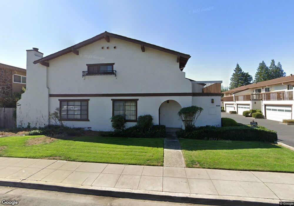
1430 Gordon St Unit Q Redwood City, CA 94061
Palm Park NeighborhoodEstimated Value: $1,255,000 - $1,865,000
3
Beds
3
Baths
1,620
Sq Ft
$928/Sq Ft
Est. Value
About This Home
This home is located at 1430 Gordon St Unit Q, Redwood City, CA 94061 and is currently estimated at $1,502,834, approximately $927 per square foot. 1430 Gordon St Unit Q is a home located in San Mateo County with nearby schools including Henry Ford Elementary School, John F. Kennedy Middle School, and Woodside High School.
Ownership History
Date
Name
Owned For
Owner Type
Purchase Details
Closed on
Aug 20, 2015
Sold by
Thomas Richard E and Thomas Carolyn
Bought by
Thomas Richard E and Thomas Carolyn
Current Estimated Value
Home Financials for this Owner
Home Financials are based on the most recent Mortgage that was taken out on this home.
Original Mortgage
$200,000
Outstanding Balance
$157,406
Interest Rate
4.05%
Mortgage Type
New Conventional
Estimated Equity
$1,345,428
Purchase Details
Closed on
May 22, 1996
Sold by
Suhling C Paul
Bought by
Thomas Richard E and Thomas Carolyn
Home Financials for this Owner
Home Financials are based on the most recent Mortgage that was taken out on this home.
Original Mortgage
$176,000
Interest Rate
8.07%
Create a Home Valuation Report for This Property
The Home Valuation Report is an in-depth analysis detailing your home's value as well as a comparison with similar homes in the area
Home Values in the Area
Average Home Value in this Area
Purchase History
| Date | Buyer | Sale Price | Title Company |
|---|---|---|---|
| Thomas Richard E | -- | First American Title Company | |
| Thomas Richard E | $220,000 | Old Republic Title Company |
Source: Public Records
Mortgage History
| Date | Status | Borrower | Loan Amount |
|---|---|---|---|
| Open | Thomas Richard E | $200,000 | |
| Closed | Thomas Richard E | $176,000 | |
| Closed | Thomas Richard E | $22,000 |
Source: Public Records
Tax History Compared to Growth
Tax History
| Year | Tax Paid | Tax Assessment Tax Assessment Total Assessment is a certain percentage of the fair market value that is determined by local assessors to be the total taxable value of land and additions on the property. | Land | Improvement |
|---|---|---|---|---|
| 2025 | $3,997 | $365,444 | $182,722 | $182,722 |
| 2023 | $3,997 | $351,256 | $175,628 | $175,628 |
| 2022 | $3,754 | $344,370 | $172,185 | $172,185 |
| 2021 | $3,716 | $337,618 | $168,809 | $168,809 |
| 2020 | $3,667 | $334,158 | $167,079 | $167,079 |
| 2019 | $3,652 | $327,606 | $163,803 | $163,803 |
| 2018 | $3,557 | $321,184 | $160,592 | $160,592 |
| 2017 | $3,518 | $314,888 | $157,444 | $157,444 |
| 2016 | $3,440 | $308,714 | $154,357 | $154,357 |
| 2015 | $3,312 | $304,078 | $152,039 | $152,039 |
| 2014 | $3,249 | $298,122 | $149,061 | $149,061 |
Source: Public Records
Map
Nearby Homes
- 1430 Gordon St Unit C
- 1029 Redwood Ave
- 1227 Chantal Way
- 1334 Norman St
- 1105 Oak Ave
- 1506 Kentfield Ave
- 1458 Hudson St Unit 202
- 1458 Hudson St Unit 305
- 1458 Hudson St Unit 111
- 1567 Hawes Ct
- 1522 Hudson St
- 1186 Lyons St
- 1 Doris Ct
- 1144 Mckinley St
- 1625 Kentfield Ave
- 1148 Saint Francis St
- 924 Woodside Rd
- 1010 Roosevelt Ave
- 8 Kentfield Ct
- 1465 Bonnie Ct
- 1430 Gordon St
- 1430 Gordon St Unit N
- 1430 Gordon St Unit P
- 1430 Gordon St Unit O
- 1430 Gordon St Unit M
- 1430 Gordon St Unit L
- 1430 Gordon St Unit K
- 1430 Gordon St Unit J
- 1430 Gordon St Unit I
- 1430 Gordon St Unit H
- 1430 Gordon St Unit G
- 1430 Gordon St Unit F
- 1430 Gordon St Unit E
- 1430 Gordon St Unit D
- 1430 Gordon St Unit B
- 1430 Gordon St Unit A
- 1440 Gordon St
- 1415 Gordon St
- 1407 Gordon St
- 1447 Gordon St