1430 Highland Cir Placerville, CA 95667
Estimated Value: $312,000 - $650,000
3
Beds
2
Baths
2,076
Sq Ft
$255/Sq Ft
Est. Value
About This Home
This home is located at 1430 Highland Cir, Placerville, CA 95667 and is currently estimated at $529,393, approximately $255 per square foot. 1430 Highland Cir is a home located in El Dorado County with nearby schools including Camino Elementary School, El Dorado High School, and El Dorado Adventist School.
Ownership History
Date
Name
Owned For
Owner Type
Purchase Details
Closed on
Jun 28, 2011
Sold by
Harvey Paul
Bought by
Harvey Carrie L
Current Estimated Value
Home Financials for this Owner
Home Financials are based on the most recent Mortgage that was taken out on this home.
Original Mortgage
$228,000
Outstanding Balance
$157,153
Interest Rate
4.55%
Mortgage Type
New Conventional
Estimated Equity
$372,240
Purchase Details
Closed on
Jul 30, 2008
Sold by
Watson Daniel H
Bought by
Watson Catherine Lee
Create a Home Valuation Report for This Property
The Home Valuation Report is an in-depth analysis detailing your home's value as well as a comparison with similar homes in the area
Home Values in the Area
Average Home Value in this Area
Purchase History
| Date | Buyer | Sale Price | Title Company |
|---|---|---|---|
| Harvey Carrie L | -- | Placer Title Company | |
| Cassell Keith K | $285,000 | Placer Title Company | |
| Watson Catherine Lee | -- | None Available |
Source: Public Records
Mortgage History
| Date | Status | Borrower | Loan Amount |
|---|---|---|---|
| Open | Cassell Keith K | $228,000 |
Source: Public Records
Tax History Compared to Growth
Tax History
| Year | Tax Paid | Tax Assessment Tax Assessment Total Assessment is a certain percentage of the fair market value that is determined by local assessors to be the total taxable value of land and additions on the property. | Land | Improvement |
|---|---|---|---|---|
| 2025 | $3,680 | $357,959 | $113,037 | $244,922 |
| 2024 | $3,680 | $350,941 | $110,821 | $240,120 |
| 2023 | $3,604 | $344,061 | $108,649 | $235,412 |
| 2022 | $3,552 | $337,316 | $106,519 | $230,797 |
| 2021 | $3,503 | $330,703 | $104,431 | $226,272 |
| 2020 | $3,454 | $327,313 | $103,361 | $223,952 |
| 2019 | $3,400 | $320,896 | $101,335 | $219,561 |
| 2018 | $3,301 | $314,605 | $99,349 | $215,256 |
| 2017 | $3,237 | $308,437 | $97,401 | $211,036 |
| 2016 | $3,196 | $302,391 | $95,492 | $206,899 |
| 2015 | $3,061 | $297,851 | $94,058 | $203,793 |
| 2014 | $3,009 | $292,018 | $92,216 | $199,802 |
Source: Public Records
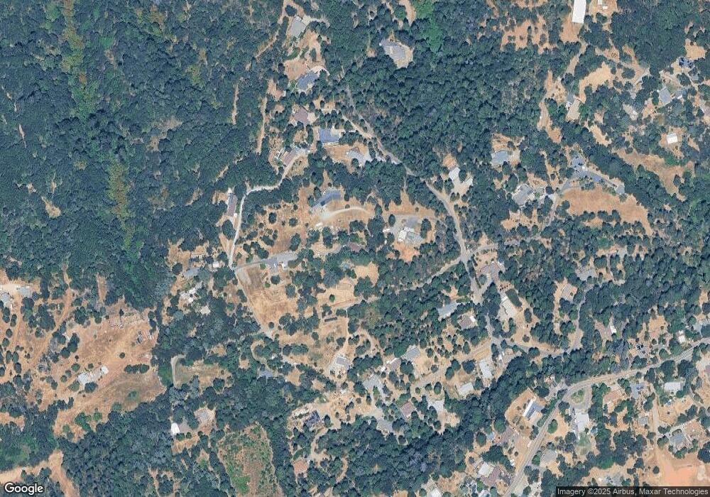
Map
Nearby Homes
- 1421 Highland Ct
- 9425 Mosquito Rd
- 2399 Kingsgate Rd
- 1110 Madrone Ln
- 0 Mona Ave
- 2095 Wild Goose Canyon Rd
- 2655 Mona Dr
- 2689 Morrene Dr
- 1049 Kimi Way
- 2500 Gold Bug Ln
- 2771 Morrene Dr
- 1072 Champagne Ln
- 1015 Utah Dr
- 1011 Utah Dr
- 1017 Utah Dr
- Plan 2 at Sutter’s Ridge
- 1001 Utah Dr
- 3022 Constellation Ave
- 2940 Anderson Way
- 2624 Liberty Mine Ct
- 1508 Highland Dr
- 1528 Highland Dr
- 1465 Highland Ct
- 1486 Highland Dr
- 0 Highland Dr
- 1423 Highland Ct
- 1540 Highland Dr
- 1461 Highland Cir
- 1476 Highland Dr
- 1501 Highland Dr
- 1525 Highland Cir
- 1515 Highland Cir
- 1541 Highland Dr
- 1531 Highland Dr
- 1505 Highland Cir
- 1460 Highland Dr
- 1470 Highland Cir
- 1440 Highland Ct
- 0 Union Ridge Rd
- 1491 Highland Cir