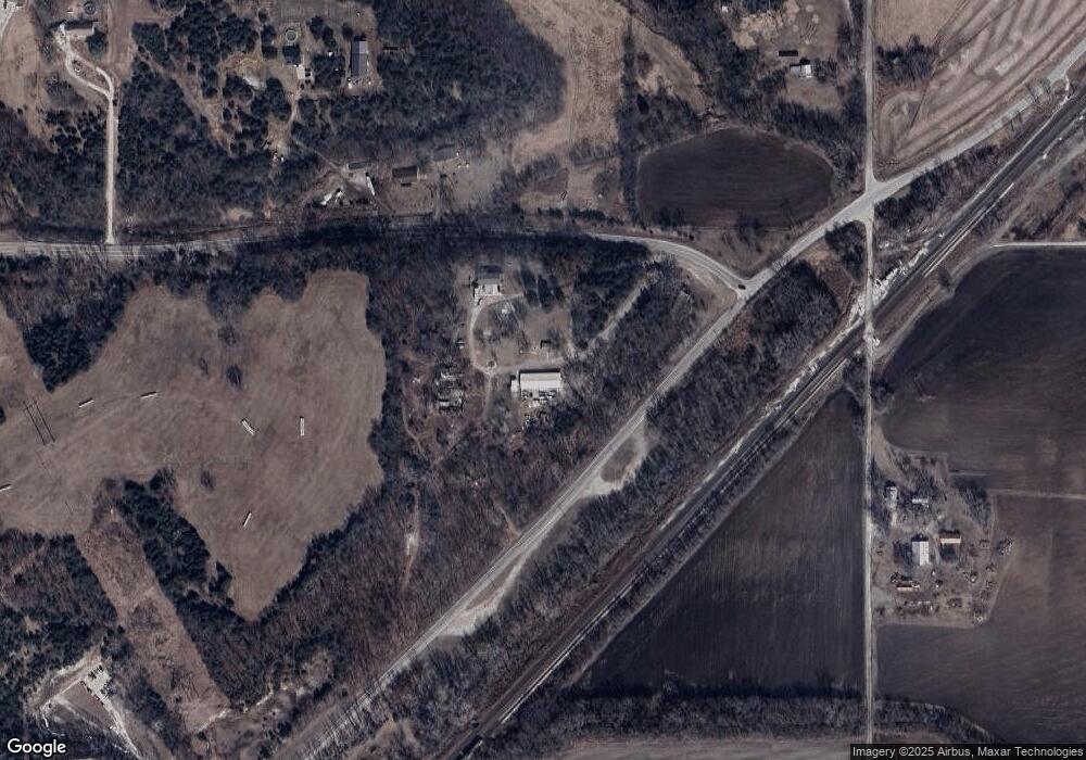
14301 Loring Rd Bonner Springs, KS 66012
Estimated Value: $440,000 - $747,812
4
Beds
2
Baths
1,680
Sq Ft
$332/Sq Ft
Est. Value
About This Home
This home is located at 14301 Loring Rd, Bonner Springs, KS 66012 and is currently estimated at $558,453, approximately $332 per square foot. 14301 Loring Rd is a home located in Leavenworth County with nearby schools including Robert E Clark Middle School and Bonner Springs High School.
Ownership History
Date
Name
Owned For
Owner Type
Purchase Details
Closed on
Mar 13, 2018
Sold by
Bjorgaard Wanda C
Bought by
Botts Joe
Current Estimated Value
Home Financials for this Owner
Home Financials are based on the most recent Mortgage that was taken out on this home.
Original Mortgage
$223,250
Outstanding Balance
$190,577
Interest Rate
4.22%
Mortgage Type
New Conventional
Estimated Equity
$367,876
Create a Home Valuation Report for This Property
The Home Valuation Report is an in-depth analysis detailing your home's value as well as a comparison with similar homes in the area
Home Values in the Area
Average Home Value in this Area
Purchase History
| Date | Buyer | Sale Price | Title Company |
|---|---|---|---|
| Botts Joe | $278,937 | Kansas City Title | |
| Botts Joe | $296,922 | New Title Company Name |
Source: Public Records
Mortgage History
| Date | Status | Borrower | Loan Amount |
|---|---|---|---|
| Open | Botts Joe | $223,250 | |
| Closed | Botts Joe | $223,150 | |
| Closed | Botts Joe | $223,150 |
Source: Public Records
Tax History Compared to Growth
Tax History
| Year | Tax Paid | Tax Assessment Tax Assessment Total Assessment is a certain percentage of the fair market value that is determined by local assessors to be the total taxable value of land and additions on the property. | Land | Improvement |
|---|---|---|---|---|
| 2025 | $7,366 | $70,879 | $30,515 | $40,364 |
| 2024 | $7,424 | $68,618 | $26,946 | $41,672 |
| 2023 | $7,424 | $69,125 | $24,778 | $44,347 |
| 2022 | $3,969 | $37,973 | $16,743 | $21,230 |
| 2021 | $3,619 | $32,764 | $15,018 | $17,746 |
| 2020 | $3,423 | $29,935 | $14,151 | $15,784 |
| 2019 | $3,392 | $29,083 | $13,575 | $15,508 |
| 2018 | $3,042 | $26,581 | $16,926 | $9,655 |
| 2017 | $2,965 | $25,434 | $14,372 | $11,062 |
| 2016 | $2,366 | $20,299 | $14,367 | $5,932 |
| 2015 | $2,366 | $20,426 | $14,330 | $6,096 |
| 2014 | $2,360 | $20,426 | $14,330 | $6,096 |
Source: Public Records
Map
Nearby Homes
- 7330 Cedar Niles Rd
- 0 Mize Rd Unit HMS2466053
- 25601 W 69th Terrace
- 7005 Mize Rd
- 13525 N 158th St
- 14141 Stillwell Rd
- 5880 Clare Rd
- 24905 W 57th St
- 6024 Arapahoe St
- 6018 Arapahoe St
- 6005 Arapahoe St
- 8250 Ravenswood Ln
- 6022 Apache Dr
- 26775 W 73rd St
- 6045 Apache Dr
- 6039 Apache Dr
- 6018 Apache Dr
- 6038 Apache Dr
- Newberry Plan at Mize Hill
- Lakewood Villa Plan at Mize Hill
- 14400 Loring Rd
- 14418 Loring Rd
- 13275 142nd St
- 4901 S 142nd St
- 13387 S 142nd St
- 14600 Loring Rd
- 14526 Loring Rd
- 156?? Loring Rd
- 4501 S 142nd St
- 14669 Loring Rd
- 15955 K-32 Rd
- 13461 142nd St
- 14427 Kreider Rd
- 14750 Loring Rd
- 14784 Loring Rd
- 14513 Kreider Rd
- 14585 Kreider Rd
- 18104 Stillwell St
- 14623 Kreider Rd
- 14980 Loring Rd
