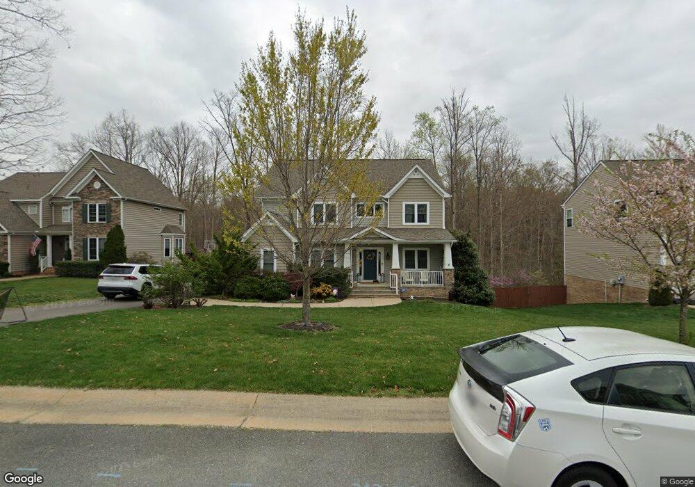
14301 Safewings Place Midlothian, VA 23112
Estimated Value: $636,359 - $710,000
5
Beds
4
Baths
3,064
Sq Ft
$219/Sq Ft
Est. Value
About This Home
This home is located at 14301 Safewings Place, Midlothian, VA 23112 and is currently estimated at $672,340, approximately $219 per square foot. 14301 Safewings Place is a home located in Chesterfield County with nearby schools including Old Hundred Elementary School, Tomahawk Creek Middle School, and Midlothian High School.
Ownership History
Date
Name
Owned For
Owner Type
Purchase Details
Closed on
Dec 16, 2011
Sold by
Nc Mcmahon Homes I
Bought by
Shapiro Samuel A
Current Estimated Value
Home Financials for this Owner
Home Financials are based on the most recent Mortgage that was taken out on this home.
Original Mortgage
$316,635
Outstanding Balance
$216,288
Interest Rate
3.98%
Mortgage Type
FHA
Estimated Equity
$456,052
Create a Home Valuation Report for This Property
The Home Valuation Report is an in-depth analysis detailing your home's value as well as a comparison with similar homes in the area
Home Values in the Area
Average Home Value in this Area
Purchase History
| Date | Buyer | Sale Price | Title Company |
|---|---|---|---|
| Shapiro Samuel A | $330,000 | -- |
Source: Public Records
Mortgage History
| Date | Status | Borrower | Loan Amount |
|---|---|---|---|
| Open | Shapiro Samuel A | $316,635 |
Source: Public Records
Tax History Compared to Growth
Tax History
| Year | Tax Paid | Tax Assessment Tax Assessment Total Assessment is a certain percentage of the fair market value that is determined by local assessors to be the total taxable value of land and additions on the property. | Land | Improvement |
|---|---|---|---|---|
| 2025 | $4,748 | $530,700 | $106,000 | $424,700 |
| 2024 | $4,748 | $515,300 | $106,000 | $409,300 |
| 2023 | $4,456 | $489,700 | $101,000 | $388,700 |
| 2022 | $4,338 | $471,500 | $98,000 | $373,500 |
| 2021 | $3,780 | $395,300 | $96,000 | $299,300 |
| 2020 | $3,687 | $388,100 | $96,000 | $292,100 |
| 2019 | $3,584 | $377,300 | $96,000 | $281,300 |
| 2018 | $3,439 | $362,000 | $95,000 | $267,000 |
| 2017 | $3,380 | $352,100 | $95,000 | $257,100 |
| 2016 | $3,514 | $366,000 | $95,000 | $271,000 |
| 2015 | $3,526 | $364,700 | $90,000 | $274,700 |
| 2014 | $3,245 | $335,400 | $85,000 | $250,400 |
Source: Public Records
Map
Nearby Homes
- 3230 Canford Loop
- 3200 Barkham Dr
- 14801 Abberton Dr
- 14819 Abberton Dr
- 14825 Abberton Dr
- 14900 Abberton Dr
- 3736 Wivenhall Dr
- 15001 Abberton Dr
- 3807 Graythorne Dr
- Riverton Plan at RounTrey - Rountrey
- Olivia Plan at RounTrey - Rountrey
- Sienna Plan at RounTrey - Rountrey
- Tiffany I Plan at RounTrey - Rountrey
- Bronte Plan at RounTrey - Rountrey
- Hampshire Plan at RounTrey - Rountrey
- Elliot Plan at RounTrey - Rountrey
- Sutherland Plan at RounTrey - Rountrey
- 15107 Heaton Dr
- 15118 Heaton Dr
- 15100 Bellstone Ct
- 14307 Safewings Place
- 14213 Safewings Place
- 14200 Farcet Dr
- 14313 Safewings Place
- 14201 Farcet Dr
- 14207 Safewings Place
- 14206 Farcet Dr
- 14318 Safewings Place
- 3237 Farcet Terrace
- 3231 Farcet Terrace
- 14207 Farcet Dr
- 14201 Safewings Place
- 3225 Farcet Terrace
- 3309 Farcet Ct
- 14324 Safewings Place Unit 9
- 14324 Safewings Place
- 3219 Farcet Terrace
- 3315 Farcet Ct
- 3219 Farcet Ter 3219 Farcet Trace
- 3242 Farcet Terrace