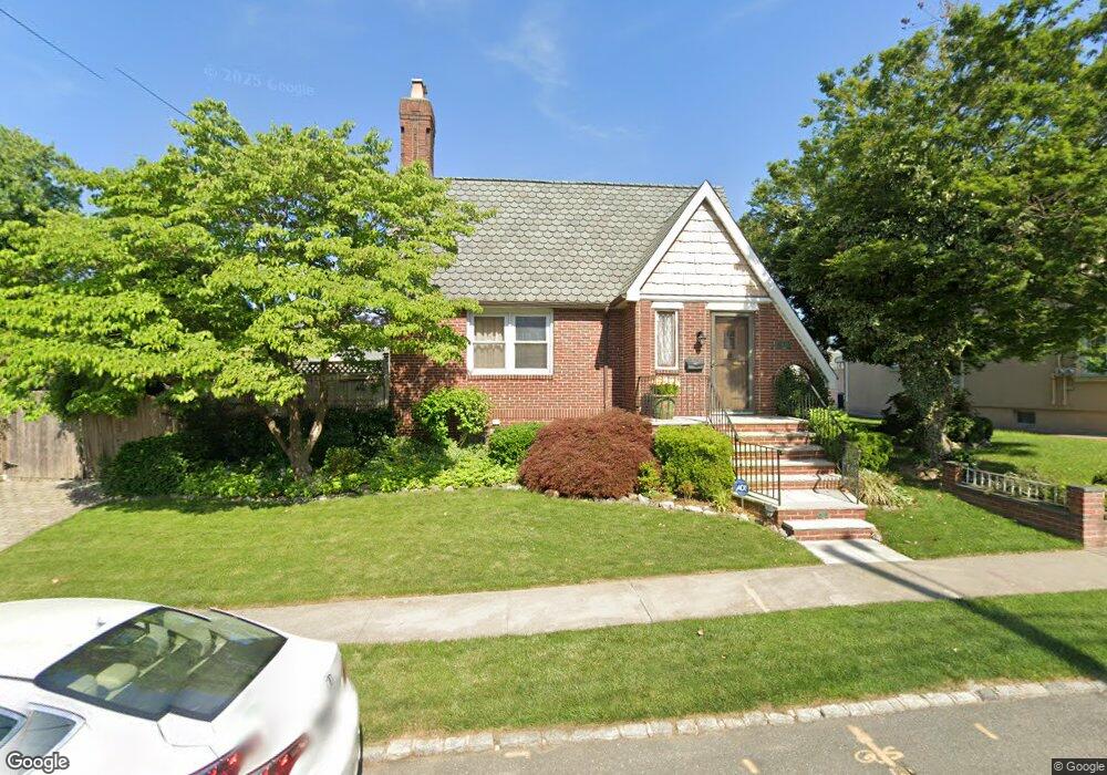
1431 155th St Whitestone, NY 11357
Whitestone NeighborhoodEstimated Value: $1,272,569 - $1,430,000
Studio
--
Bath
2,278
Sq Ft
$598/Sq Ft
Est. Value
About This Home
This home is located at 1431 155th St, Whitestone, NY 11357 and is currently estimated at $1,361,892, approximately $597 per square foot. 1431 155th St is a home located in Queens County with nearby schools including P.S. 193 - Alfred J. Kennedy, J.H.S. 194 William Carr, and Bayside High School.
Ownership History
Date
Name
Owned For
Owner Type
Purchase Details
Closed on
Dec 9, 2014
Sold by
Seeley Leslie and Seeley Michael
Bought by
Seeley Trust Dated December 3 2014 and Seeley, Trustee, Leslie
Current Estimated Value
Purchase Details
Closed on
Aug 5, 1996
Sold by
Noeth Guenther and Noeth Agnes
Bought by
Seeley Michael and Seeley Leslie
Home Financials for this Owner
Home Financials are based on the most recent Mortgage that was taken out on this home.
Original Mortgage
$275,000
Interest Rate
7.89%
Create a Home Valuation Report for This Property
The Home Valuation Report is an in-depth analysis detailing your home's value as well as a comparison with similar homes in the area
Home Values in the Area
Average Home Value in this Area
Purchase History
| Date | Buyer | Sale Price | Title Company |
|---|---|---|---|
| Seeley Trust Dated December 3 2014 | -- | -- | |
| Seeley Michael | -- | Ticor Title Guarantee Compan |
Source: Public Records
Mortgage History
| Date | Status | Borrower | Loan Amount |
|---|---|---|---|
| Previous Owner | Seeley Michael | $275,000 |
Source: Public Records
Tax History
| Year | Tax Paid | Tax Assessment Tax Assessment Total Assessment is a certain percentage of the fair market value that is determined by local assessors to be the total taxable value of land and additions on the property. | Land | Improvement |
|---|---|---|---|---|
| 2025 | $10,820 | $61,638 | $13,767 | $47,871 |
| 2024 | $10,832 | $58,150 | $13,962 | $44,188 |
| 2023 | $10,159 | $54,859 | $11,836 | $43,023 |
| 2022 | $9,470 | $75,840 | $17,100 | $58,740 |
| 2021 | $9,956 | $74,520 | $17,100 | $57,420 |
| 2020 | $9,967 | $81,900 | $17,100 | $64,800 |
| 2019 | $9,242 | $90,240 | $17,100 | $73,140 |
| 2018 | $8,434 | $45,716 | $12,303 | $33,413 |
| 2017 | $8,140 | $43,130 | $12,134 | $30,996 |
| 2016 | $7,935 | $43,130 | $12,134 | $30,996 |
| 2015 | $4,482 | $42,804 | $16,547 | $26,257 |
| 2014 | $4,482 | $40,382 | $16,082 | $24,300 |
Source: Public Records
Map
Nearby Homes
- 15424 13th Ave
- 157-11 Cryders Ln
- 154-25 13th Ave
- 151-05 Cross Island Pkwy Unit 1-D
- 151-05 Cross Island Pkwy Unit 3E
- 151-05 Cross Island Pkwy Unit 6C
- 14-07 158th St
- 157-03 Locke Ave
- 157-60 12th Rd
- 150-78 15th Dr
- 15-27 159 Street 159 St Unit 619
- 162 20 9 Ave Unit 6C
- 158-18 Cross Island Pkwy Unit 6-8
- 150-55 14th Rd
- 15-59 150th Place
- 14-15 160th St Unit 5-94
- 15-28 160th St Unit 6-29
- 1665 156th St
- 12-10 151st Place
- 17-02 Clintonville St
- 1435 155th St
- 1423 155th St
- 1428 156th St
- 1434 156th St
- 1419 155th St
- 1424 156th St
- 14-24 156th St
- 14-24 156th St Unit 2
- 14-34 156th St
- 1441 155th St
- 14-41 155th St
- 14-28 156th St
- 1438 156th St
- 1420 156th St
- 1438 156th St Unit Lower
- 14-38 156th St
- 1438 156th St
- 1438 156th St Unit 1st Fl
- 1430 155th St
- 1411 155th St
Your Personal Tour Guide
Ask me questions while you tour the home.