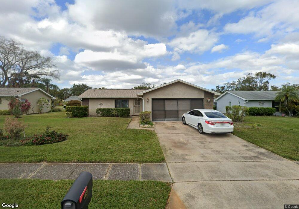
1431 Queen Anne Blvd Palm Harbor, FL 34684
Estimated Value: $303,761 - $349,000
--
Bed
--
Bath
1,152
Sq Ft
$284/Sq Ft
Est. Value
About This Home
This home is located at 1431 Queen Anne Blvd, Palm Harbor, FL 34684 and is currently estimated at $326,690, approximately $283 per square foot. 1431 Queen Anne Blvd is a home located in Pinellas County with nearby schools including Highland Lakes Elementary School, Joseph L. Carwise Middle School, and Palm Harbor University High.
Ownership History
Date
Name
Owned For
Owner Type
Purchase Details
Closed on
May 25, 2021
Sold by
Eaton Janine
Bought by
Weishaar James J and Weishaar Janice M
Current Estimated Value
Home Financials for this Owner
Home Financials are based on the most recent Mortgage that was taken out on this home.
Original Mortgage
$7,500
Outstanding Balance
$6,800
Interest Rate
2.99%
Mortgage Type
New Conventional
Estimated Equity
$319,890
Purchase Details
Closed on
Nov 9, 2011
Sold by
Eaton Suzanne and Eaton Janine
Bought by
Eaton Janine
Create a Home Valuation Report for This Property
The Home Valuation Report is an in-depth analysis detailing your home's value as well as a comparison with similar homes in the area
Home Values in the Area
Average Home Value in this Area
Purchase History
| Date | Buyer | Sale Price | Title Company |
|---|---|---|---|
| Weishaar James J | $254,000 | Attorney | |
| Eaton Janine | -- | Attorney |
Source: Public Records
Mortgage History
| Date | Status | Borrower | Loan Amount |
|---|---|---|---|
| Open | Weishaar James J | $7,500 | |
| Open | Weishaar James J | $263,144 |
Source: Public Records
Tax History Compared to Growth
Tax History
| Year | Tax Paid | Tax Assessment Tax Assessment Total Assessment is a certain percentage of the fair market value that is determined by local assessors to be the total taxable value of land and additions on the property. | Land | Improvement |
|---|---|---|---|---|
| 2024 | $3,925 | $258,812 | -- | -- |
| 2023 | $3,925 | $251,274 | $111,857 | $139,417 |
| 2022 | $3,974 | $252,998 | $140,658 | $112,340 |
| 2021 | $3,741 | $203,232 | $0 | $0 |
| 2020 | $3,469 | $186,061 | $0 | $0 |
| 2019 | $3,252 | $177,492 | $66,427 | $111,065 |
| 2018 | $3,023 | $165,567 | $0 | $0 |
| 2017 | $2,845 | $156,111 | $0 | $0 |
| 2016 | $2,643 | $141,978 | $0 | $0 |
| 2015 | $2,487 | $130,653 | $0 | $0 |
| 2014 | $2,230 | $111,742 | $0 | $0 |
Source: Public Records
Map
Nearby Homes
- 1130 Orange Tree Cir W Unit C
- 1131 Orange Tree Cir W Unit C
- 2820 Lomond Dr
- 1163 Orange Tree Cir W Unit D
- 1160 Orange Tree Cir W Unit D
- 2700 Nebraska Ave Unit 3-201
- 2700 Nebraska Ave Unit 5-101
- 2700 Nebraska Ave Unit 2-203
- 1107 Queen Anne Dr Unit D
- 2740 Whitebridge Dr Unit A
- 2828 Sherbrooke Ln Unit C
- 1472 Queen Anne Dr
- 2722 Sherbrooke Ln Unit D
- 2738 Sherbrooke Ln Unit C
- 2824 Rustic Oaks Dr
- 2846 Highlands Blvd Unit D
- 2711 Sherbrooke Ln Unit B
- 2836 Highlands Blvd Unit A
- 2719 Sherbrooke Ln Unit C
- 2739 Sherbrooke Ln Unit B
- 1433 Queen Anne Blvd
- 1429 Queen Anne Blvd
- 2766 Lomond Dr
- 2760 Lomond Dr
- 2772 Lomond Dr
- 1021 Tarns Ct
- 1435 Queen Anne Blvd
- 1427 Queen Anne Blvd
- 2754 Lomond Dr
- 2778 Lomond Dr
- 1020 Tarns Ct
- 1013 Tarns Ct
- 2767 Lomond Dr
- 2761 Lomond Dr
- 2750 Lomond Dr
- 2773 Lomond Dr
- 1006 Tarns Ct
- 1014 Mctavish Way
- 1012 Tarns Ct