14311 Crampton Rd Camden, MI 49232
Estimated Value: $272,106 - $415,000
Studio
2
Baths
1,072
Sq Ft
$307/Sq Ft
Est. Value
About This Home
This home is located at 14311 Crampton Rd, Camden, MI 49232 and is currently estimated at $329,035, approximately $306 per square foot. 14311 Crampton Rd is a home located in Hillsdale County with nearby schools including Waldron High School and Waldron Elementary School.
Ownership History
Date
Name
Owned For
Owner Type
Purchase Details
Closed on
Oct 2, 2021
Sold by
Martin Todd and Estate Of Nancy Lee Manifold
Bought by
Rauth Brian M
Current Estimated Value
Home Financials for this Owner
Home Financials are based on the most recent Mortgage that was taken out on this home.
Original Mortgage
$166,500
Outstanding Balance
$151,832
Interest Rate
2.8%
Mortgage Type
New Conventional
Estimated Equity
$177,203
Purchase Details
Closed on
May 15, 2001
Bought by
Manifold Larry D and Manifold Nancy
Create a Home Valuation Report for This Property
The Home Valuation Report is an in-depth analysis detailing your home's value as well as a comparison with similar homes in the area
Purchase History
| Date | Buyer | Sale Price | Title Company |
|---|---|---|---|
| Rauth Brian M | $185,000 | Midstate Title Agency Llc | |
| Manifold Larry D | -- | -- |
Source: Public Records
Mortgage History
| Date | Status | Borrower | Loan Amount |
|---|---|---|---|
| Open | Rauth Brian M | $166,500 |
Source: Public Records
Tax History
| Year | Tax Paid | Tax Assessment Tax Assessment Total Assessment is a certain percentage of the fair market value that is determined by local assessors to be the total taxable value of land and additions on the property. | Land | Improvement |
|---|---|---|---|---|
| 2025 | $1,154 | $139,100 | $0 | $0 |
| 2024 | $11 | $141,500 | $0 | $0 |
| 2023 | $1,072 | $97,700 | $0 | $0 |
| 2022 | $3,237 | $98,100 | $0 | $0 |
| 2021 | $3,850 | $92,800 | $0 | $0 |
| 2020 | $3,819 | $75,700 | $0 | $0 |
| 2019 | $3,732 | $72,700 | $0 | $0 |
| 2018 | $3,621 | $71,200 | $0 | $0 |
| 2017 | $3,529 | $72,280 | $0 | $0 |
| 2016 | $2,329 | $68,930 | $0 | $0 |
| 2015 | $706 | $68,930 | $0 | $0 |
| 2013 | $722 | $65,880 | $0 | $0 |
| 2012 | $717 | $77,910 | $0 | $0 |
Source: Public Records
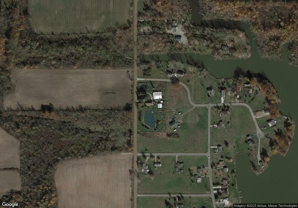
Map
Nearby Homes
- 4002 & 4014 Meadowlawn Dr
- 14621 Laura Ln
- 201 W Church St
- 206 S Elm St
- 301 S 3rd St
- 13551 Hillsdale Rd
- 13151 Tripp Rd
- 400 N Rose Ln
- 909 High Point Dr
- 14364 Horn Dr
- 16724 U S 20
- 14857 U S 20
- 10001 Pioneer Rd
- 14934 Heather Ct
- 2582 E Montgomery Rd
- 2342 E Montgomery Rd
- 2249 E Montgomery Rd
- 155 Navajo Trail
- 0 Pontiac Trail Unit 10001711
- 169 Seneca Dr
- 4105 Grandview Dr
- 4146 Grandview Dr
- 4231 Grandview Dr
- 0 Grandview Dr Unit 2257282
- 4124 Grandview Dr
- 4096 Hillcrest Dr
- 4019 Hillcrest Dr
- 14411 Crampton Rd
- 4140 Grandview Dr
- 4106 Hillcrest Dr
- 4075 Hillcrest Dr
- 14173 Crampton Rd
- 14341 W Merry Dr
- 4160 Grandview Dr
- 4185 Grandview Dr
- 4014 Meadowlawn Dr
- 4002 Meadowlawn Dr
- 14165 Crampton Rd
- 4048 Meadowlawn Dr
- 14381 W Merry Dr
Your Personal Tour Guide
Ask me questions while you tour the home.