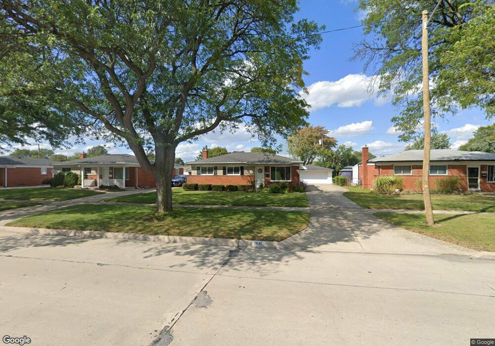
14311 Masonic Blvd Warren, MI 48088
Northeast Warren NeighborhoodEstimated Value: $243,817 - $271,000
3
Beds
2
Baths
1,123
Sq Ft
$227/Sq Ft
Est. Value
About This Home
This home is located at 14311 Masonic Blvd, Warren, MI 48088 and is currently estimated at $254,704, approximately $226 per square foot. 14311 Masonic Blvd is a home located in Macomb County with nearby schools including Wilde Elementary School, Carter Middle School, and Paul K. Cousino High School.
Ownership History
Date
Name
Owned For
Owner Type
Purchase Details
Closed on
Apr 10, 2018
Sold by
Demianenko Beverly D
Bought by
Demianenko Beverly D
Current Estimated Value
Purchase Details
Closed on
Dec 11, 2007
Sold by
Demianenko Beverly D and Demianenko Alexander
Bought by
Demianenko Beverly D and The Beverly D Demianenko Living Trust
Purchase Details
Closed on
Jun 30, 2004
Sold by
Mccrum James R and Mccrum Cheryl
Bought by
Demianenko Alex and Demianenko Beverly
Create a Home Valuation Report for This Property
The Home Valuation Report is an in-depth analysis detailing your home's value as well as a comparison with similar homes in the area
Home Values in the Area
Average Home Value in this Area
Purchase History
| Date | Buyer | Sale Price | Title Company |
|---|---|---|---|
| Demianenko Beverly D | -- | None Available | |
| Demianenko Beverly D | -- | None Available | |
| Demianenko Beverly D | -- | None Available | |
| Demianenko Alex | $164,900 | Title One Inc |
Source: Public Records
Tax History Compared to Growth
Tax History
| Year | Tax Paid | Tax Assessment Tax Assessment Total Assessment is a certain percentage of the fair market value that is determined by local assessors to be the total taxable value of land and additions on the property. | Land | Improvement |
|---|---|---|---|---|
| 2025 | $3,611 | $113,190 | $0 | $0 |
| 2024 | $3,505 | $105,440 | $0 | $0 |
| 2023 | $3,323 | $96,150 | $0 | $0 |
| 2022 | $3,238 | $81,270 | $0 | $0 |
| 2021 | $3,157 | $78,610 | $0 | $0 |
| 2020 | $3,050 | $76,130 | $0 | $0 |
| 2019 | $2,930 | $71,800 | $0 | $0 |
| 2018 | $2,418 | $64,480 | $0 | $0 |
| 2017 | $2,388 | $59,200 | $10,210 | $48,990 |
| 2016 | $2,385 | $59,200 | $0 | $0 |
| 2015 | -- | $52,170 | $0 | $0 |
| 2013 | $4,477 | $41,030 | $0 | $0 |
Source: Public Records
Map
Nearby Homes
- 14646 Murthum Ave
- 13863 Colpaert Dr
- 14717 Colpaert Dr
- 13842 Jenny Dr
- 31707 Gloede Dr
- 13738 Jenny Dr
- 32334 Gloede Dr
- 32717 Beechwood Dr
- 14514 Peck Dr
- 31341 Hayes Rd
- 31263 Hayes Rd
- 33042 Mccoy Dr
- 33076 Mccoy Dr
- 31650 Nelson Dr
- 32215 Dover Ave
- 31070 Hayes Rd
- 32828 Eiffel Ave
- 33333 Groth Dr
- 31218 Fairfield Dr
- 15621 Lauren
- 14257 Masonic Blvd
- 14323 Masonic Blvd
- 14245 Masonic Blvd
- 14306 Colpaert Dr
- 14335 Masonic Blvd
- 14318 Colpaert Dr
- 14248 Colpaert Dr
- 14330 Colpaert Dr
- 14236 Colpaert Dr
- 14233 Masonic Blvd
- 14347 Masonic Blvd
- 14224 Colpaert Dr
- 14342 Colpaert Dr
- 14221 Masonic Blvd
- 32009 Bunert Rd
- 32023 Bunert Rd
- 14212 Colpaert Dr
- 32037 Bunert Rd
- 14209 Masonic Blvd
- 14309 Colpaert Dr