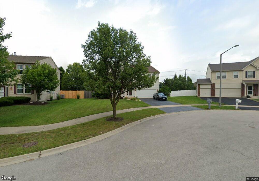
14313 Springfield Ct Plainfield, IL 60544
West Plainfield NeighborhoodEstimated Value: $462,000 - $512,000
4
Beds
3
Baths
2,960
Sq Ft
$167/Sq Ft
Est. Value
About This Home
This home is located at 14313 Springfield Ct, Plainfield, IL 60544 and is currently estimated at $493,459, approximately $166 per square foot. 14313 Springfield Ct is a home located in Will County with nearby schools including Lincoln Elementary School, Richard Ira Jones Middle School, and Plainfield North High School.
Ownership History
Date
Name
Owned For
Owner Type
Purchase Details
Closed on
Mar 27, 2006
Sold by
Drh Cambridge Homes Inc
Bought by
Brniak Brian J and Brniak Christy A
Current Estimated Value
Home Financials for this Owner
Home Financials are based on the most recent Mortgage that was taken out on this home.
Original Mortgage
$265,824
Outstanding Balance
$186,483
Interest Rate
10.57%
Mortgage Type
Fannie Mae Freddie Mac
Estimated Equity
$306,976
Create a Home Valuation Report for This Property
The Home Valuation Report is an in-depth analysis detailing your home's value as well as a comparison with similar homes in the area
Home Values in the Area
Average Home Value in this Area
Purchase History
| Date | Buyer | Sale Price | Title Company |
|---|---|---|---|
| Brniak Brian J | $295,500 | First American |
Source: Public Records
Mortgage History
| Date | Status | Borrower | Loan Amount |
|---|---|---|---|
| Open | Brniak Brian J | $265,824 |
Source: Public Records
Tax History
| Year | Tax Paid | Tax Assessment Tax Assessment Total Assessment is a certain percentage of the fair market value that is determined by local assessors to be the total taxable value of land and additions on the property. | Land | Improvement |
|---|---|---|---|---|
| 2024 | $9,876 | $141,954 | $30,220 | $111,734 |
| 2023 | $9,876 | $128,210 | $27,294 | $100,916 |
| 2022 | $8,860 | $115,150 | $24,514 | $90,636 |
| 2021 | $8,366 | $107,617 | $22,910 | $84,707 |
| 2020 | $8,246 | $104,564 | $22,260 | $82,304 |
| 2019 | $7,953 | $99,632 | $21,210 | $78,422 |
| 2018 | $7,975 | $98,002 | $19,730 | $78,272 |
| 2017 | $7,726 | $93,131 | $18,749 | $74,382 |
| 2016 | $7,534 | $88,823 | $17,882 | $70,941 |
| 2015 | $7,117 | $83,206 | $16,751 | $66,455 |
| 2014 | $7,117 | $80,269 | $16,160 | $64,109 |
| 2013 | $7,117 | $80,269 | $16,160 | $64,109 |
Source: Public Records
Map
Nearby Homes
- 25138 Presidential Ave
- 14343 S Charlton Place
- 14341 S Charlton Place
- 14403 S Charlton Place
- 25520 W Stockwell Dr
- 25454 W Emory Ln
- 25455 W Emory Ln
- 25457 W Emory Ln
- 25500 W Emory Ln
- 25501 W Emory Ln
- 25445 W Alabaster Cir
- 25542 W Alabaster Cir
- 25522 W Emory Ln
- 25504 W Alabaster Cir
- 25524 W Emory Ln
- 25526 W Emory Ln
- 14561 S Greenbriar Dr
- 14609 S Greenbriar Dr
- 14615 S Greenbriar Dr
- 14621 S Greenbriar Dr
- 14307 Springfield Ct
- 14319 Springfield Ct
- 14301 Springfield Ct
- 14325 Springfield Ct
- 14328 Springfield Ct
- 14304 Meadow Ln
- 25152 Thornberry Dr
- 14310 Meadow Ln
- 14302 Springfield Ct
- 14333 Springfield Ct
- 14316 Meadow Ln
- 25158 Thornberry Dr
- 25148 Thornberry Dr
- 14322 Meadow Ln
- 14330 Meadow Ln
- 14411 Independence Dr
- 25142 Thornberry Dr
- 14337 Springfield Ct
- 14409 Independence Dr
- 14336 Meadow Ln
Your Personal Tour Guide
Ask me questions while you tour the home.