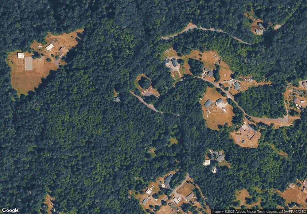
14315 State Route 162 E Orting, WA 98360
Estimated Value: $564,000 - $602,000
4
Beds
1
Bath
1,848
Sq Ft
$315/Sq Ft
Est. Value
About This Home
This home is located at 14315 State Route 162 E, Orting, WA 98360 and is currently estimated at $582,547, approximately $315 per square foot. 14315 State Route 162 E is a home located in Pierce County with nearby schools including Orting Elementary School, Ptarmigan Ridge Elementary School, and Orting Middle School.
Ownership History
Date
Name
Owned For
Owner Type
Purchase Details
Closed on
Jul 18, 2019
Sold by
Cronk Roger
Bought by
Cronk Roger and Cronk Gail
Current Estimated Value
Home Financials for this Owner
Home Financials are based on the most recent Mortgage that was taken out on this home.
Original Mortgage
$251,500
Interest Rate
3.82%
Mortgage Type
New Conventional
Purchase Details
Closed on
Jun 4, 2018
Sold by
Cronk Gail and Cronk Roger
Bought by
Cronk Roger
Home Financials for this Owner
Home Financials are based on the most recent Mortgage that was taken out on this home.
Original Mortgage
$240,000
Interest Rate
4.4%
Mortgage Type
Purchase Money Mortgage
Purchase Details
Closed on
Oct 10, 2005
Sold by
Lundell Nicholas C
Bought by
Lundell Nicholas C and Lundell Tara D
Home Financials for this Owner
Home Financials are based on the most recent Mortgage that was taken out on this home.
Original Mortgage
$228,000
Interest Rate
8.97%
Mortgage Type
New Conventional
Purchase Details
Closed on
Oct 19, 1999
Sold by
Holst Henry G and Holst Janet L
Bought by
Lundell Nicholas C
Home Financials for this Owner
Home Financials are based on the most recent Mortgage that was taken out on this home.
Original Mortgage
$142,996
Interest Rate
7.82%
Mortgage Type
FHA
Purchase Details
Closed on
Jan 3, 1994
Sold by
Holst Henry G
Bought by
Holst Henry G and Holst Janet L
Home Financials for this Owner
Home Financials are based on the most recent Mortgage that was taken out on this home.
Original Mortgage
$78,000
Interest Rate
7.38%
Create a Home Valuation Report for This Property
The Home Valuation Report is an in-depth analysis detailing your home's value as well as a comparison with similar homes in the area
Purchase History
| Date | Buyer | Sale Price | Title Company |
|---|---|---|---|
| Cronk Roger | -- | Fidelity National Title | |
| Cronk Roger | -- | Rainier Title | |
| Cronk Roger | $289,719 | Rainier Title Llc | |
| Lundell Nicholas C | -- | Fidelity National Title Insu | |
| Lundell Nicholas C | $144,000 | Transnation Title Insurance | |
| Holst Henry G | -- | -- |
Source: Public Records
Mortgage History
| Date | Status | Borrower | Loan Amount |
|---|---|---|---|
| Previous Owner | Cronk Roger | $251,500 | |
| Previous Owner | Cronk Roger | $240,000 | |
| Previous Owner | Lundell Nicholas C | $228,000 | |
| Previous Owner | Lundell Nicholas C | $142,996 | |
| Previous Owner | Holst Henry G | $78,000 |
Source: Public Records
Tax History Compared to Growth
Tax History
| Year | Tax Paid | Tax Assessment Tax Assessment Total Assessment is a certain percentage of the fair market value that is determined by local assessors to be the total taxable value of land and additions on the property. | Land | Improvement |
|---|---|---|---|---|
| 2025 | $4,651 | $563,000 | $292,800 | $270,200 |
| 2024 | $4,651 | $525,000 | $264,500 | $260,500 |
| 2023 | $4,651 | $497,100 | $238,500 | $258,600 |
| 2022 | $4,704 | $516,300 | $255,000 | $261,300 |
| 2021 | $4,924 | $397,800 | $180,600 | $217,200 |
| 2019 | $4,162 | $374,400 | $160,900 | $213,500 |
| 2018 | $4,276 | $315,900 | $154,600 | $161,300 |
| 2017 | $3,764 | $274,900 | $122,500 | $152,400 |
| 2016 | $3,500 | $220,600 | $101,300 | $119,300 |
| 2014 | $2,862 | $197,900 | $87,500 | $110,400 |
| 2013 | $2,862 | $175,800 | $76,700 | $99,100 |
Source: Public Records
Map
Nearby Homes
- 14410 144th St E
- 14913 145th Avenue Ct E
- 1615 Riddell Ave NE
- 13708 143rd Ave E
- 15301 147th Ave E
- 200 Fielding St NE
- 1324 Hansberry Ave NE
- 1324 Daffodil Ave NE
- 13502 144th St E
- 206 Mazza St NE
- 116 Mazza St NE
- 1114 Ross Ave NW
- 10106 128th St E
- 1105 Sigafoos Ave NW
- 1113 Ofarrell Ln NW
- 15412 131st Ave E
- 15416 131st Ave E
- 12425 137th Ave E
- 12703 145th St E
- 912 O'Farrell Ln NW
- 14315 State Route 162 E
- 14817 145th St E
- 14311 State Route 162 E
- 14805 145th St E
- 14518 144th St E
- 14821 145th St E
- 14519 144th St E
- 14416 State Route 162 E
- 0 144th St E Unit 1744142
- 0 144th St E Unit 1426305
- 14508 144th St E
- 14505 147th Ave E
- 14501 147th Ave E
- 14502 147th Ave E
- 14506 144th St E
- 14315 145th Ave E
- 14509 147th Ave E
- 14506 147th Ave E
- 14515 State Route 162 E
- 22697 146th St E
