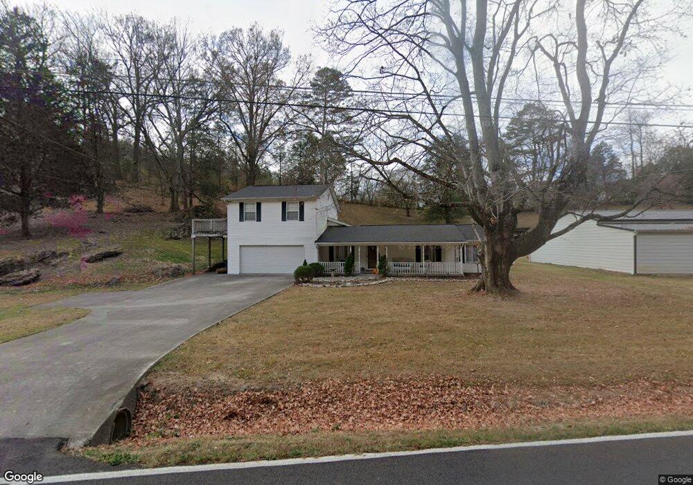
1432 Foust Carney Rd Powell, TN 37849
South Clinton NeighborhoodEstimated Value: $448,000 - $615,000
--
Bed
1
Bath
3,004
Sq Ft
$175/Sq Ft
Est. Value
About This Home
This home is located at 1432 Foust Carney Rd, Powell, TN 37849 and is currently estimated at $524,856, approximately $174 per square foot. 1432 Foust Carney Rd is a home located in Anderson County.
Ownership History
Date
Name
Owned For
Owner Type
Purchase Details
Closed on
Dec 3, 2021
Sold by
Eric Garrison
Bought by
Garrison Karen Lee
Current Estimated Value
Home Financials for this Owner
Home Financials are based on the most recent Mortgage that was taken out on this home.
Original Mortgage
$85,000
Outstanding Balance
$67,339
Interest Rate
3.14%
Mortgage Type
New Conventional
Estimated Equity
$457,517
Purchase Details
Closed on
Dec 12, 1997
Sold by
Garrison Eric and Hutchison Wheeler Carl
Bought by
Bullock Winford
Purchase Details
Closed on
Aug 6, 1993
Bought by
Garrison Eric
Create a Home Valuation Report for This Property
The Home Valuation Report is an in-depth analysis detailing your home's value as well as a comparison with similar homes in the area
Home Values in the Area
Average Home Value in this Area
Purchase History
| Date | Buyer | Sale Price | Title Company |
|---|---|---|---|
| Garrison Karen Lee | $77,000 | None Listed On Document | |
| Bullock Winford | $7,920 | -- | |
| Garrison Eric | $27,000 | -- |
Source: Public Records
Mortgage History
| Date | Status | Borrower | Loan Amount |
|---|---|---|---|
| Open | Garrison Karen Lee | $85,000 |
Source: Public Records
Tax History Compared to Growth
Tax History
| Year | Tax Paid | Tax Assessment Tax Assessment Total Assessment is a certain percentage of the fair market value that is determined by local assessors to be the total taxable value of land and additions on the property. | Land | Improvement |
|---|---|---|---|---|
| 2024 | $1,884 | $71,675 | $8,600 | $63,075 |
| 2023 | $1,884 | $71,675 | $0 | $0 |
| 2022 | $1,884 | $71,675 | $8,600 | $63,075 |
| 2021 | $1,884 | $71,675 | $8,600 | $63,075 |
| 2020 | $1,733 | $71,675 | $8,600 | $63,075 |
| 2019 | $1,795 | $62,100 | $8,600 | $53,500 |
| 2018 | $1,733 | $62,100 | $8,600 | $53,500 |
| 2017 | $1,733 | $62,100 | $8,600 | $53,500 |
| 2016 | $1,733 | $62,100 | $8,600 | $53,500 |
| 2015 | -- | $62,100 | $8,600 | $53,500 |
| 2014 | -- | $62,100 | $8,600 | $53,500 |
| 2013 | -- | $70,300 | $0 | $0 |
Source: Public Records
Map
Nearby Homes
- 135 Edgewood Heights Ln
- 110 Courtland Ln
- 120 West Ln
- 132 Edgewood Dr
- 3225 W Wolf Valley Rd
- 120 East Cir
- 505 Foust Carney Rd
- 109 Glenn Cir
- 112 Glenn Cir
- 170 Cedar Cir
- 3275 W Wolf Valley Rd
- 3035 W Wolf Valley Rd
- 0 St James Ln Unit 1303175
- 0 Saint James Ln Unit 1313852
- 372 Walnut Valley Rd
- 120 Crest Ln
- Lot 6 St James Ln
- Lot 5 St James Ln
- 3341 W Wolf Valley Rd
- 225 Over Mountain Ln
- 1426 Foust Carney Rd
- 1435 Foust Carney Rd
- 1429 Foust Carney Rd
- 115 Springhouse Rd
- 119 Springhouse Rd
- 1413 Foust Carney Rd
- 123 Springhouse Rd
- 1403 Foust Carney Rd
- 1410 Foust Carney Rd
- 143 Springhouse Road Extension
- 143 Springhouse Road Extension
- 147 Springhouse Road Extension
- 139 Springhouse Rd
- 151 Springhouse Road Extension
- 1235 Foust Carney Rd
- 711 Edgemoor Rd
- 719 Edgemoor Rd
- 646 Edgemoor Rd
- 120 Springhouse Rd
- 116 Springhouse Rd